
Subscribe to continue reading
Subscribe to get access to the rest of this post and other subscriber-only content.
EBC (2021), then Alaska (2024), and now Croatia and Scotland (2025)
Subscribe to get access to the rest of this post and other subscriber-only content.
Sunday, 11 August
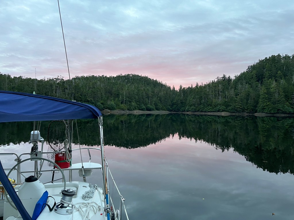
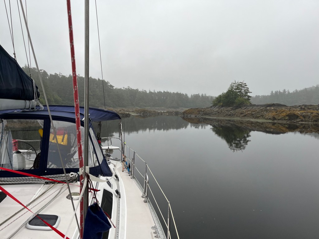
Browning Inlet to Winter Harbor: 50-30.7N 128-01.7W
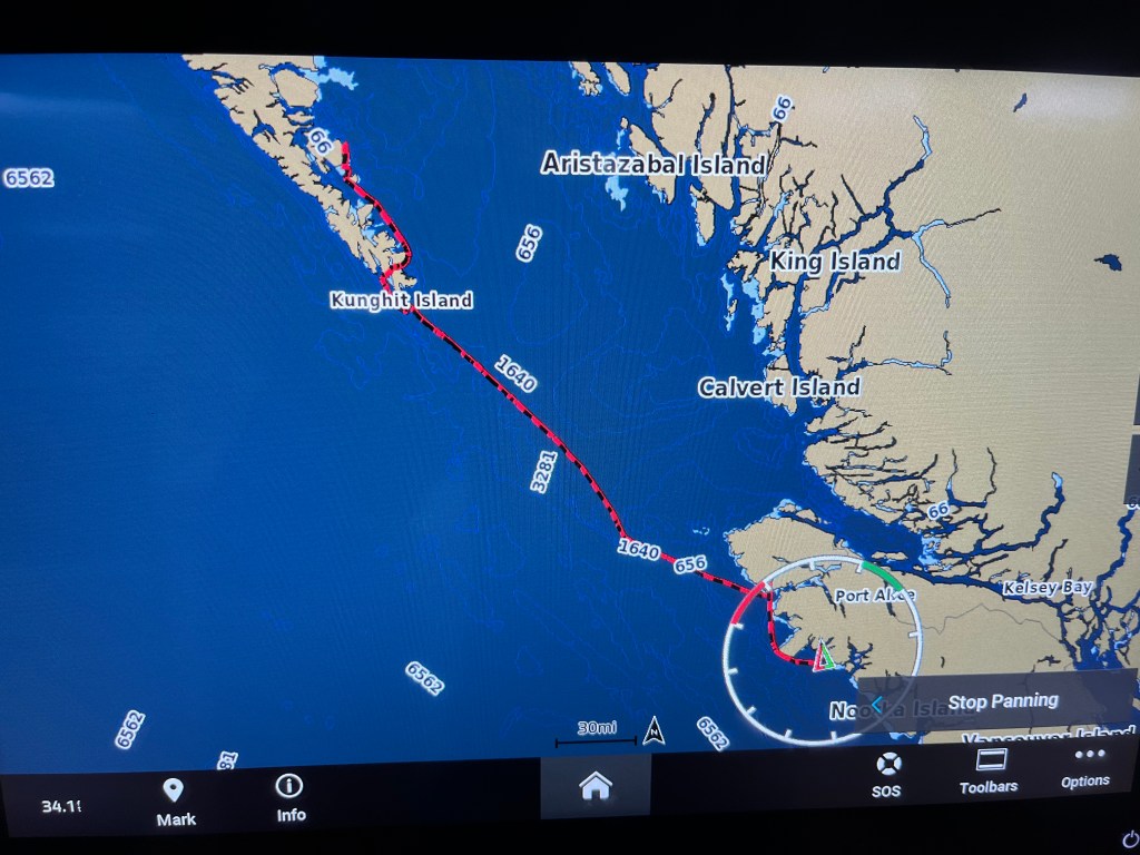
A short 30-minute trip at noon put us dockside at Winter Harbor Outpost at which we enjoyed paid-for the WiFi by which I sent my last posting. I realized a day late that I had a pretty cool track of our crossing on the new NavStation Garmin.
A Winter Harbor fishing guide taught me useful lessons in distinguishing Flounder from Halibut and taking fillets without first gutting the fish. He also pointed out the need to only cut at most seven pieces from the two fillets off a Halibut one of which had to contain the tail and pectoral fin from one side so that length could be determined. One is allowed two Halibut under 90cm and one over 90cm. Salmon processing must keep the tail. Good to know … now. And now to catch a Halibut….
Sunday evening, we learned, was a community fish fry to which all were welcomed. It was the lead cook, Joe’s, birthday to whom we all sang Happy Birthday. The charming store owners, husband and wife, hosted the event at their wharf overlooking Winter Harbor. All comers were represented, residents (of which there are only 6-8 in Winter Harbor), fishermen (most of whom were Ukrainian, sports fishermen, part-time residents (a couple from Alberta and their adult son), and travelers (us.) What a friendly, fascinating mix of generous people.
And we didn’t take a single picture during our visit to Winter Harbor. A sad first.
Monday, 12 August
Winter Harbor to Middle Bunsby Island: 50-06.2N 127-55.3W
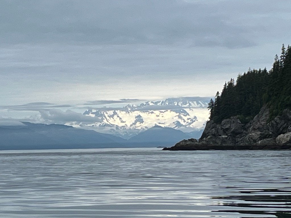
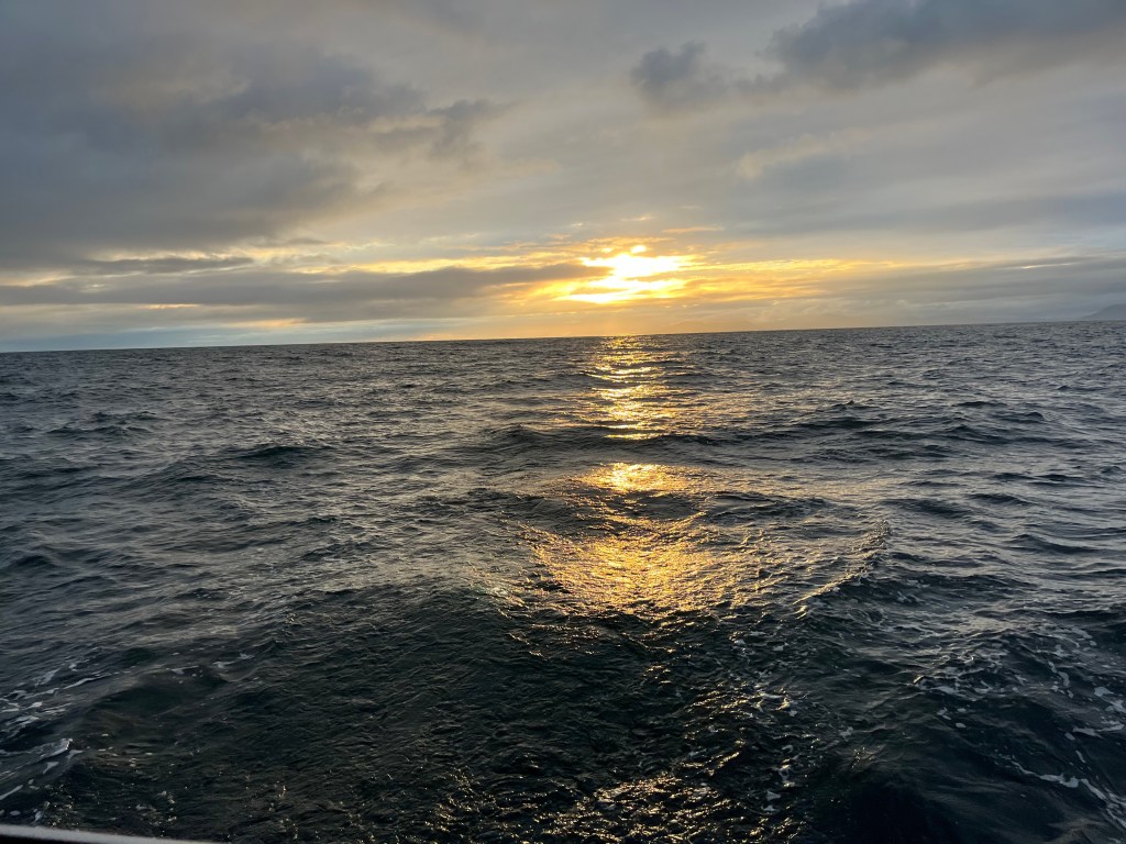
Weather Gods were on our side heading out of Winter Harbor to the Brooks Peninsula with Cape Cook and Solander Island at and off its western tip. With a 6am start, we passed Cape Parkins lighthouse at 0646 and motor-sailed between Cape Cook and Solander at 1000 paralleling long-period southwesterly swell. Tufted Puffins, Leach’s Storm Petrels, and sandpipers of some sort were prevalent along with gulls.
Cape Parkins lighthouse in the dawn
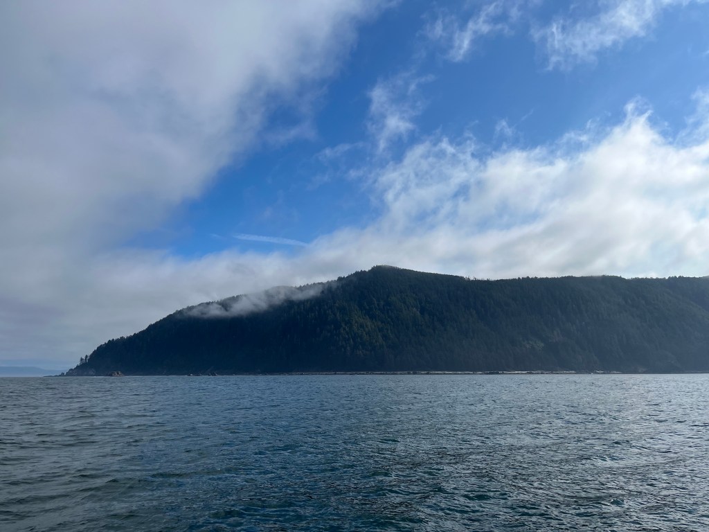
Brooks Peninsula (left); Cape Cook (right)

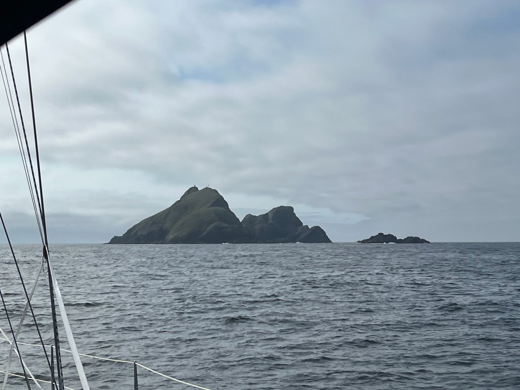
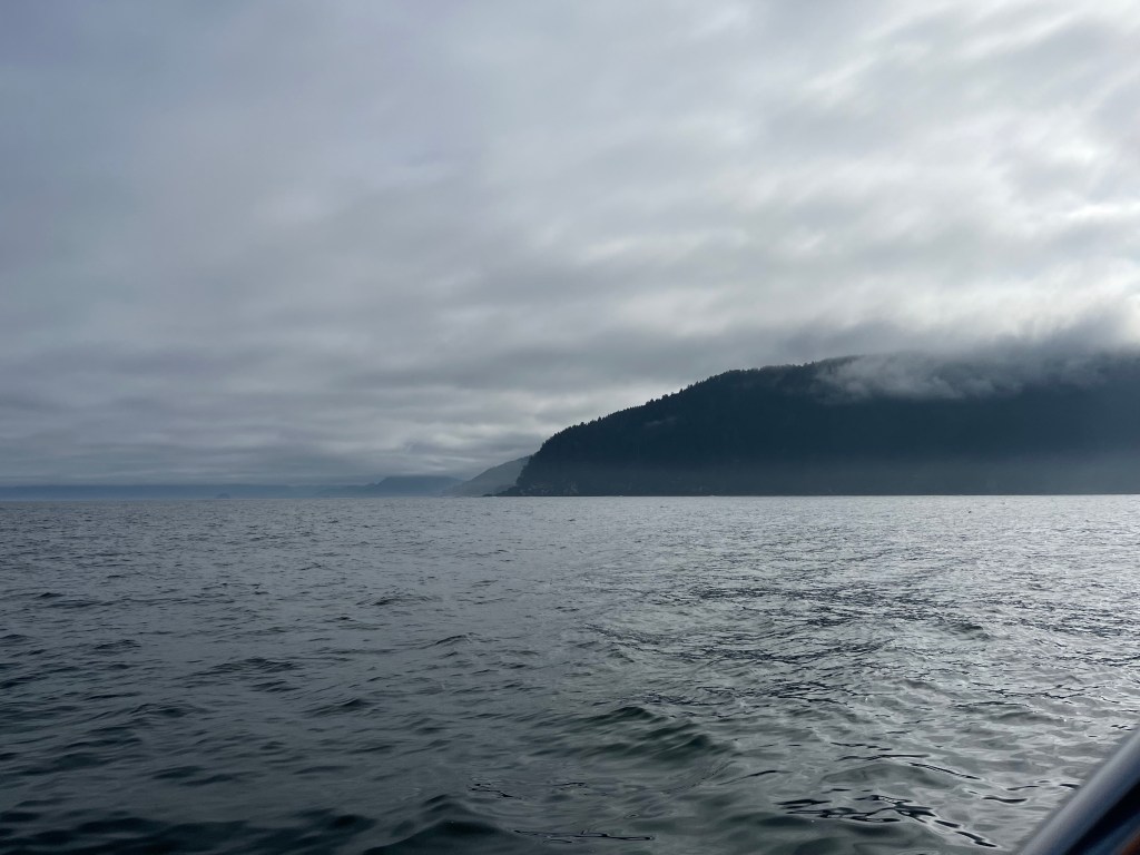
Different perspectives on Solander Island: (middle – approach; left – between Cape Cook and the island; right – passing in calm seas and sunshine!
Using the sonar-layer on my chart plotter, I noticed some submerged high points in otherwise deeper water south of Clerke Point – the opposite corner of Brooks Peninsula. Having learned that these were the kind of places at which to catch fish, I first trolled, motoring slowly, then jigged with the motor off. On the first cast, with lure not even out of sight, a Black Rockfish hit my lure. And I missed it only to have it strike a second time – its last! With one fish aboard, I lowered my lure to the bottom as we drifted bare pole southeast at less than a knot. Less than ten minutes later, I hooked a much bigger fish, a handsome Red Snapper or perhaps Canary Rockfish. Engine on, I proceeded to fillet and skin both fish, vacuum-packed the Snapper, refrigerated the Rockfish for dinner, and cleaned up the after cockpit having made less of a mess than ever before. I didn’t gut these fish which was the trick I’d learned watching a fishing guide at Winter Harbor.
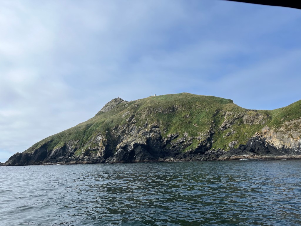
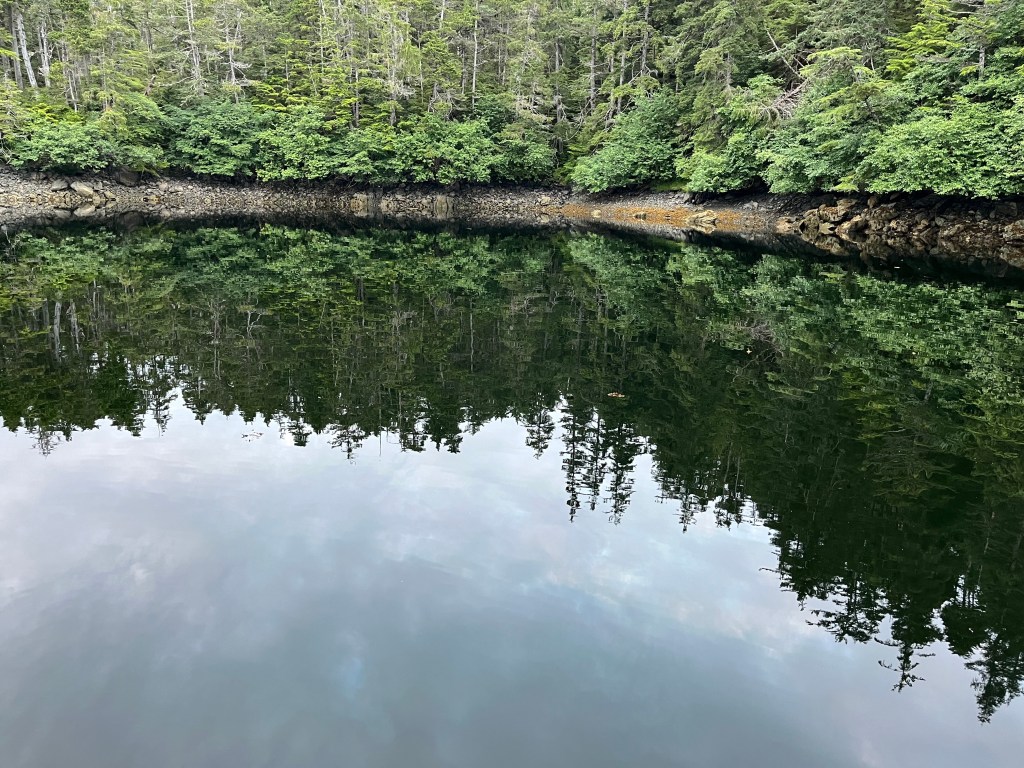
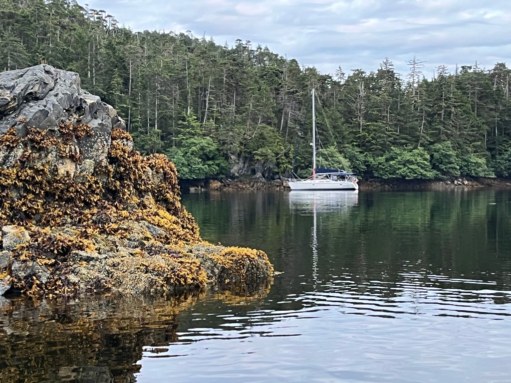
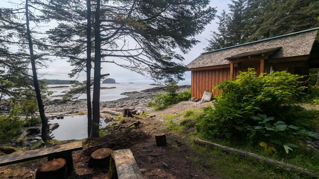
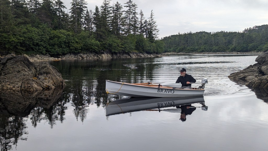
Middle Bunsby Island (below) afforded us a protected anchorage surrounded by oodles of rocks and islets. We saw three kayakers who were camping on one of the islets paddling around that islet.
Tuesday, 13 August
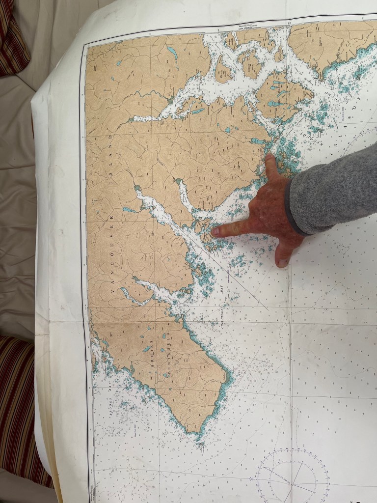
Middle Bunsby Island to Walters Cove in Kyuquot Sound (pronounced Kee-YOO-kit): 50-01.6N 127-22.5W
It was fun to again make use of paper charts Dean Dale had given me for the west side of Vancouver Island. Though smaller scale, these charts afford MUCH easier route planning than digital means.
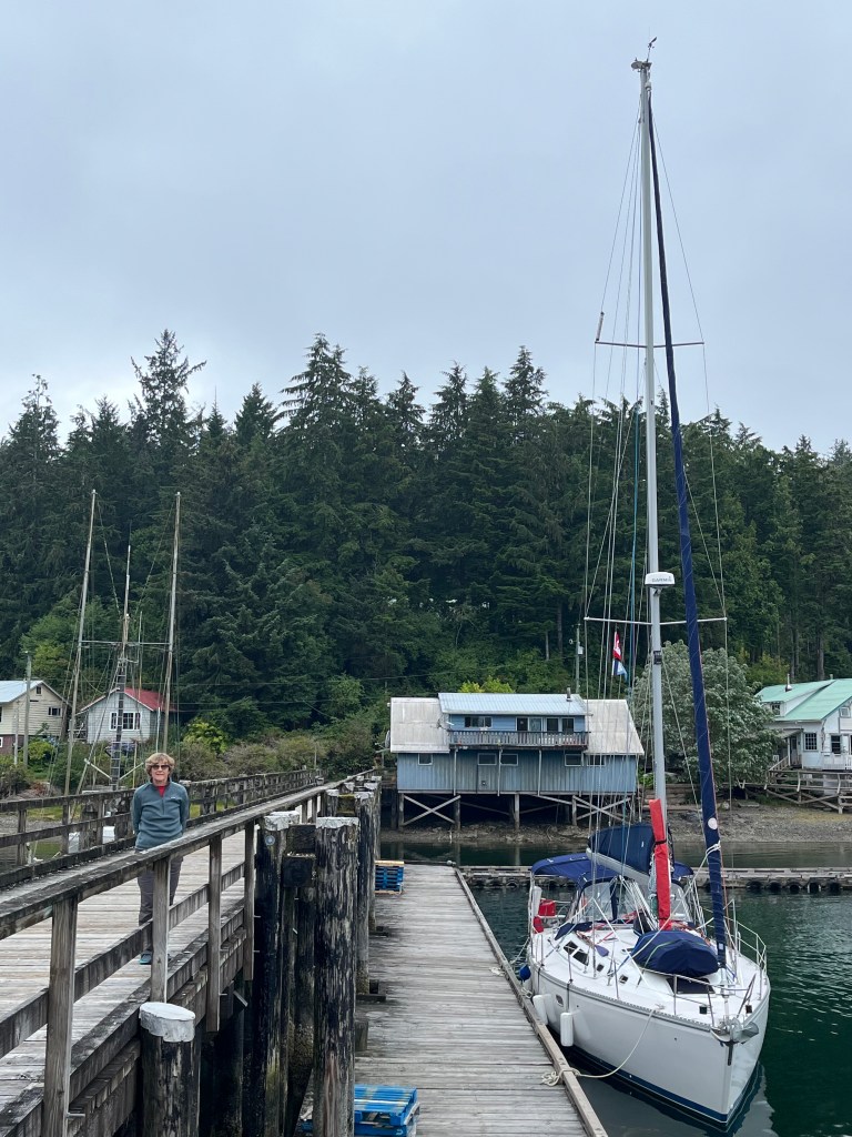
Ah the lure of free WiFi … only to learn that Java the Hutt coffee shop, a short 0.5km walk from the government dock to which we moored on a well-worn foot path) is now only open Tuesday (thank God) through Saturday, 4:30-8:00pm. Dang it. Typing this aboard Encore.
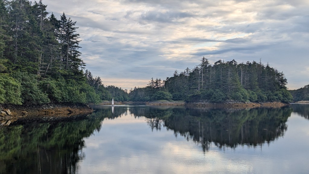
The barrier islands along the coast of Vancouver are far more scattered and generally less wooded than those on Chichagof or Baranof Islands making navigation easier but non-trivial. We’ve observed them so far only under gray, humid skies that shroud the tops of adjoining coastal hills. Perhaps they’re mountains.
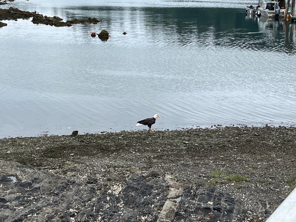
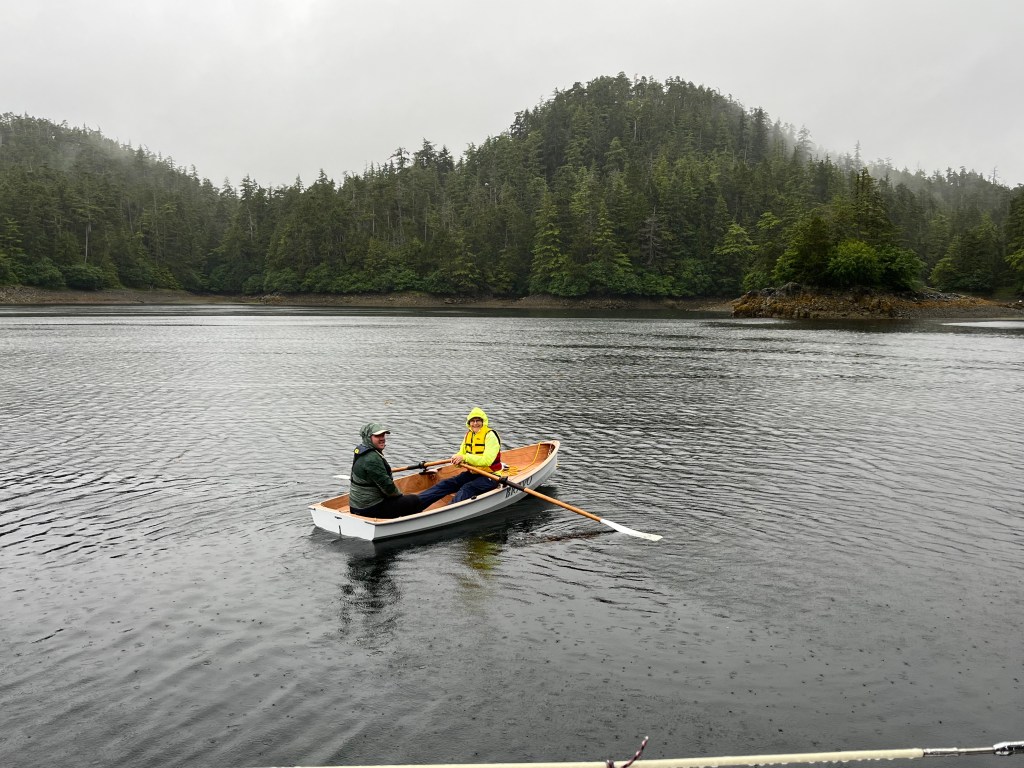
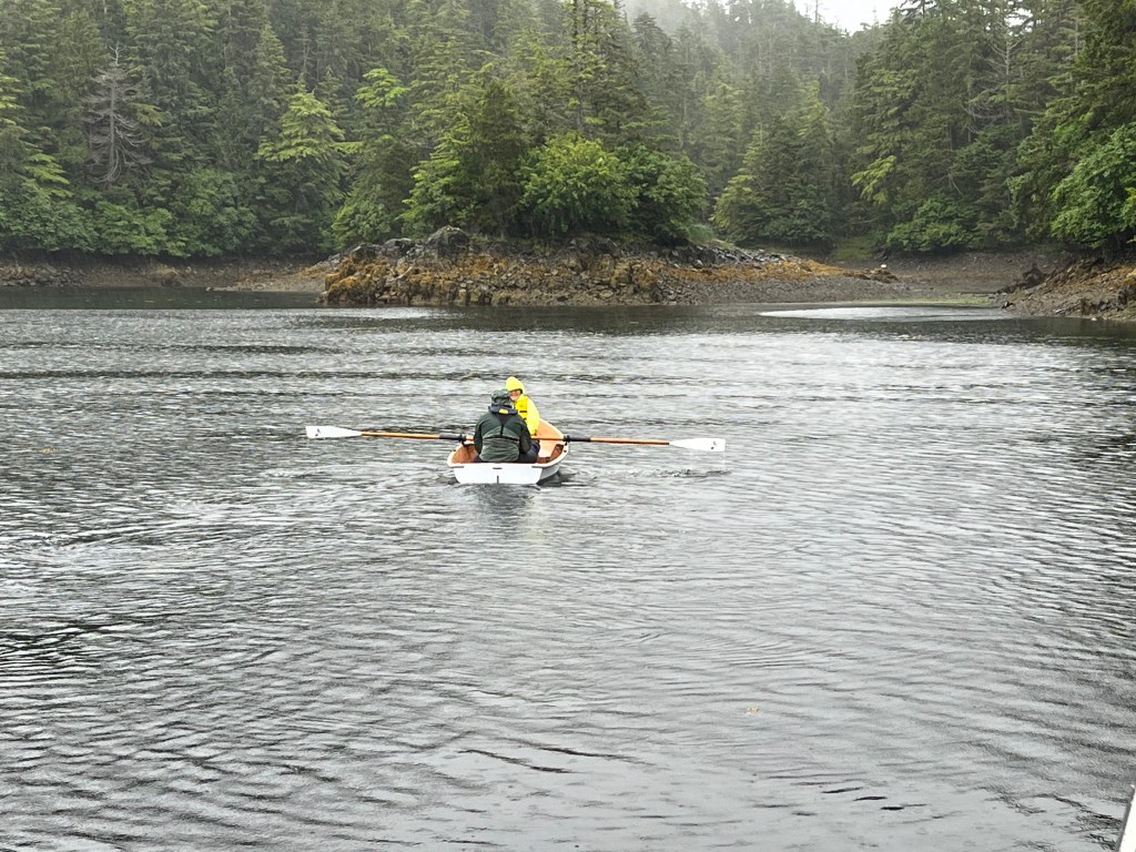
In search of an ATM, we assembled Bravo and pressed her into service with motor to check out “town” across from the dock … and came across a Bald Eagle feasting on a what was left of a halibut carcass. We figured the post office at the head of the government dock might have an ATM, but office hours are a leisurely M, W, F … 1330-1630!
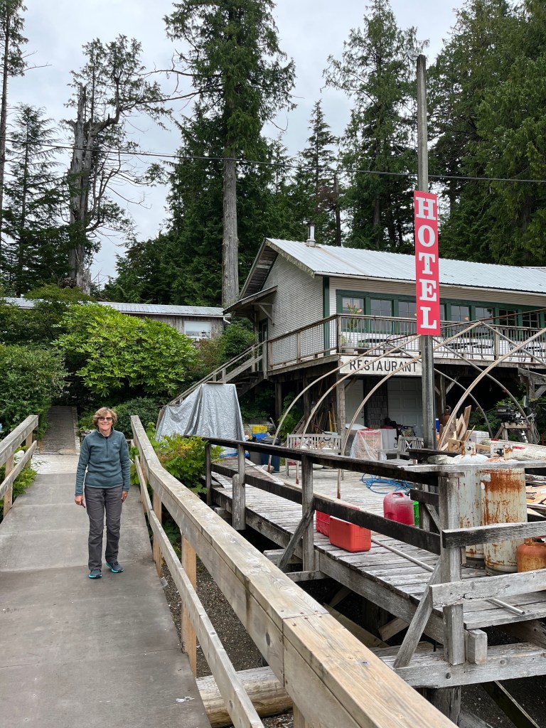
After finding no ATM in town, we motored across to Eric’s Java (below) to confirm he’d be okay with a check (he was) and then returned to Encore.
We walked a similar 0.5km in the opposite direction to explore a “stack” akin to Eddystone Rock and “Eddystone 2” (Hobart Bay) that we’d seen from town and came across a number of Mountain Ash trees loaded with berries. One of them was growing out of a seemingly bare rock.
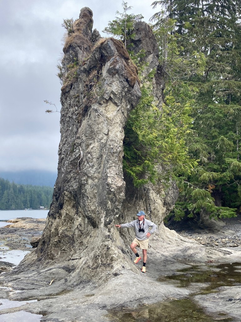


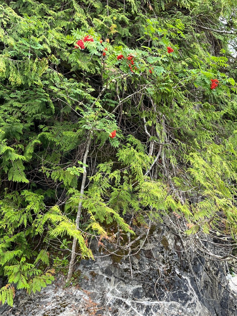

Lots of Mountain Ashes … which apparently can grow from a bare rock!
Wednesday, 14 August
Walters Cove to Dixie Cove (50-03.2N 127-12.1W) and Rugged Point (49-58.2N 127-14.9W)
Leaving Walters Cove by a route different from the way in presented an unexpectedly elevated pucker factor. Planning for a blind turn to port at one point, we had the addition surprise of two sports fishing boats zipping around the corner right at us at close range.
Dixie Cove has both an outer and inner part, and we chose to drop the hook in the inner cove just for a few hours for lunch and then paddled around both. Upon noisily dropping the anchor, we notice scarcely a hundred yards from Encore a sacked out Sea Otter and watched it with binoculars for quite a while before it woke up, no doubt hungry again.

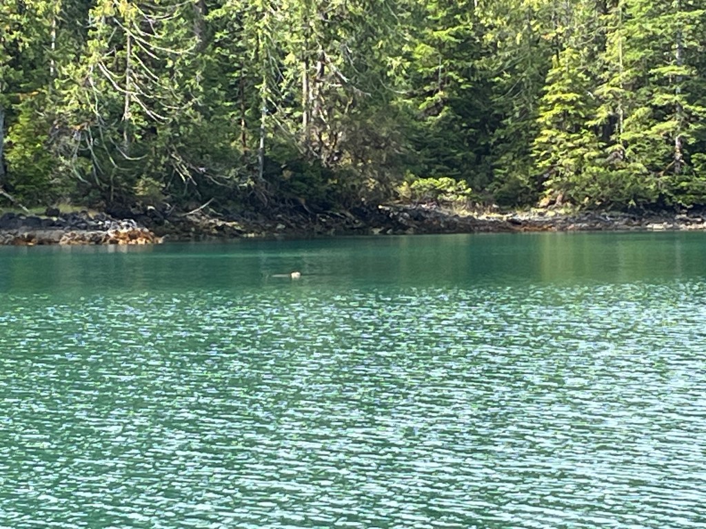
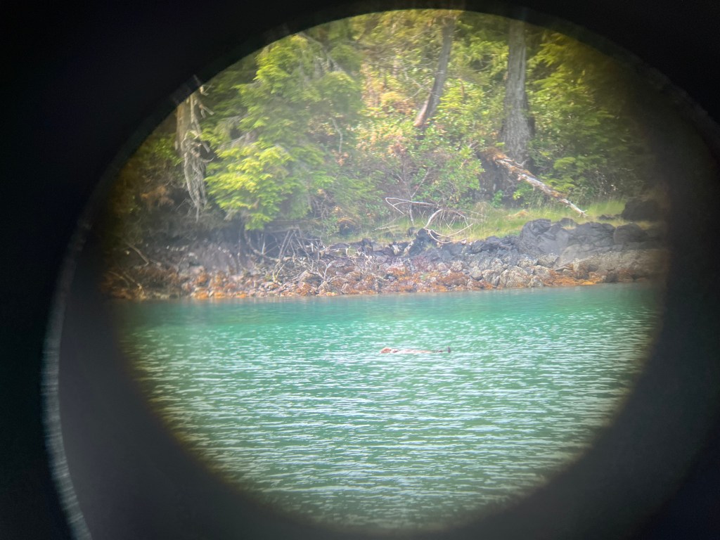
For want of a bigger lens!! Binoculars just don’t cut it.

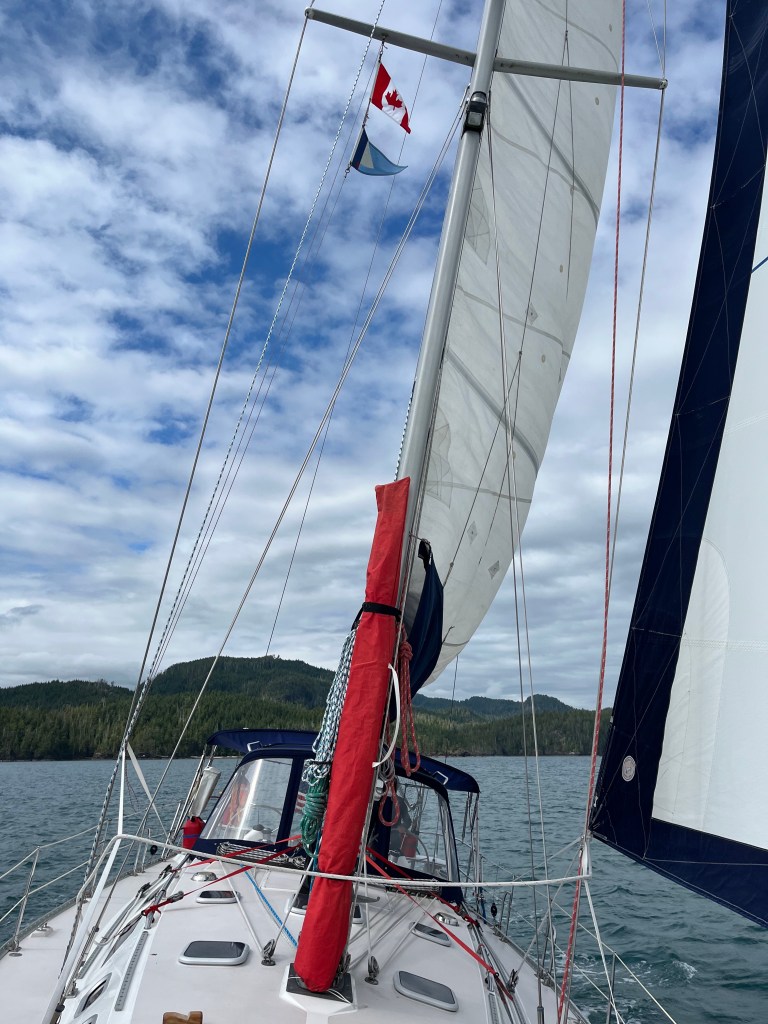
A rare pleasure, we sailed most of the eight miles to Rugged Point.
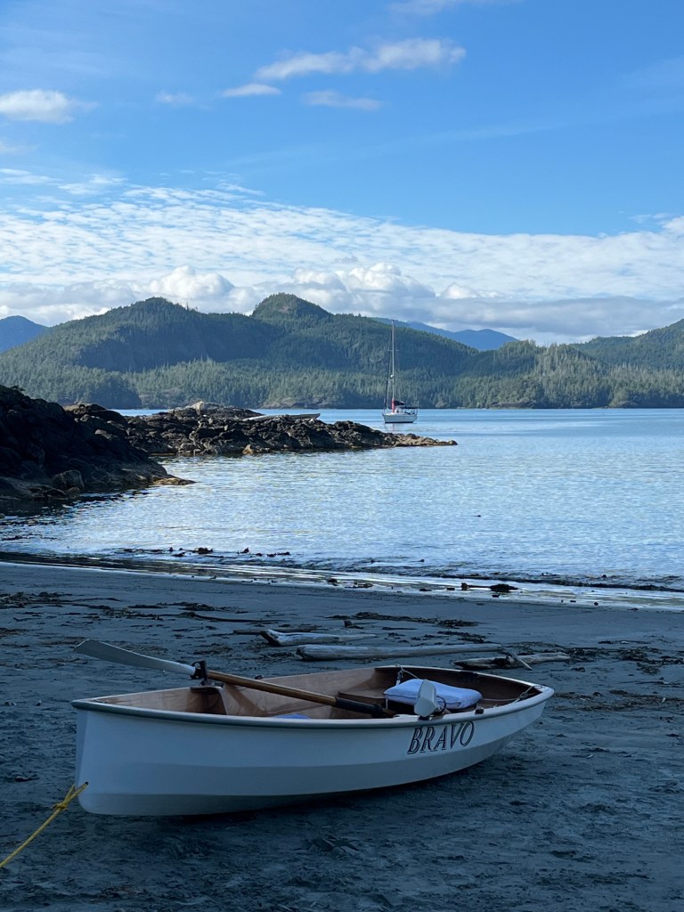
Taking Bravo ashore, we walked across Rugged Point via a Marine Park boardwalk to its incredible beach facing the ocean and saw many small, busily feeding [—— SANDPIPERS] Sandpipers.


Walking back to the north beach, I reflected on the marvelously endless recycling within our natural world: fauna, flora, geology, and hydrology. Pretty amazing. Pretty taken for granted.
The lowering sun afforded a nice 360 video. (video)
Thursday, 15 August
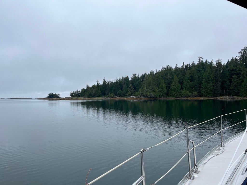
Rugged Point to Nuchalitz Marine Park (49-48.5N 126-57.7W)
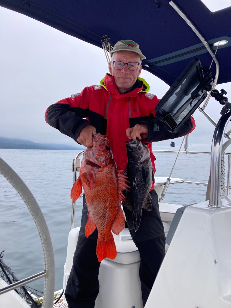
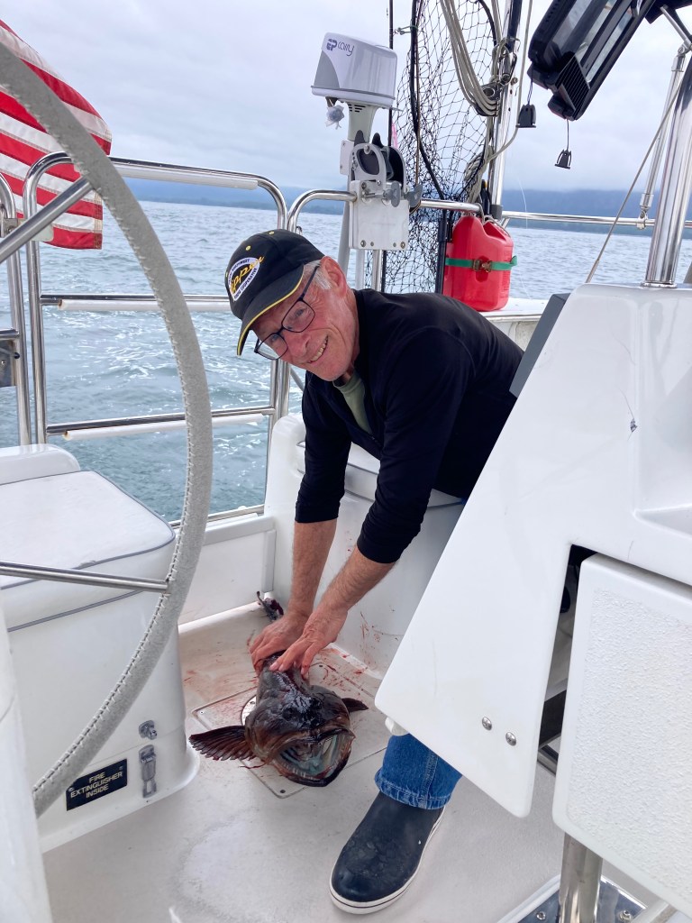
Between Gregoire Point and McQuarrie Islets during our short transit between Rugged Point and Nuchalitz Marine Park I landed a Black Rockfish with the yellow guppy and a much bigger fish with a big head and big teeth using the Coho Killer: A Cabezon. At long last, having sorted out field dressing mess-control, I carved out and skinned four respectable fillets whilst standing up for the first time at the kitchen counter opposed to hunched over on the bow or between the lazaret drop-ins aft or in bouncing Bravo.
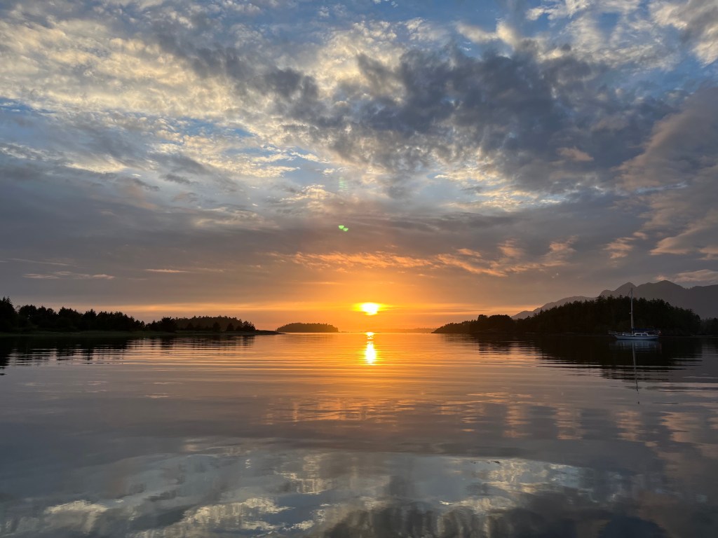
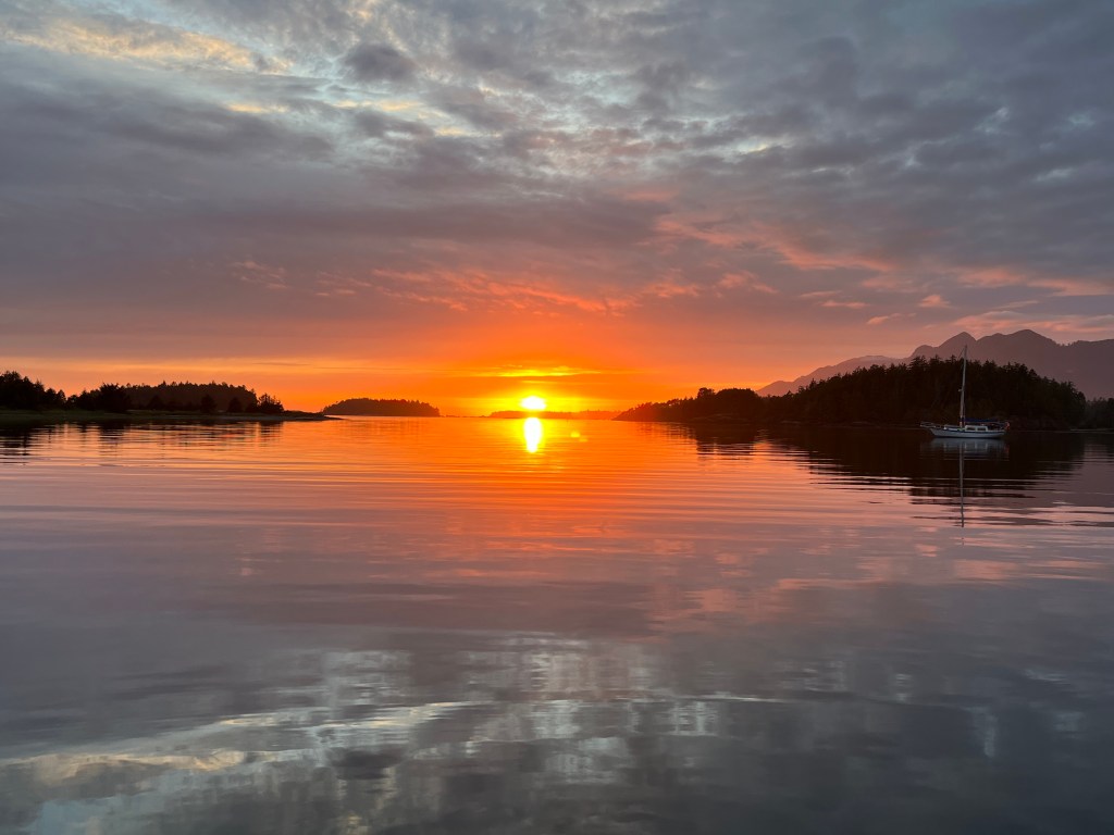
The 38’ Wayfinder, San Francisco, followed us in to the marine park not long after we arrived having motored around Estevan Point from the south. Retired electrical engineer Peter is single-handing his maiden voyage of Wayward, a new steel cutter-rigged sloop that he finished building at the boat-building coop in Port Townsend. Its salon is bigger and more functional than Encore’s, though it has no aft berth, with lots of head room. Lithium batteries power an induction stove among many other things. Pretty tricked-out boat! He wasn’t sure of his plans heading clockwise around Vancouver but recognized Alaska wasn’t within reach this fall. We talked about our trip and gave him a number of great spots to aim for if he chooses to go for Prince Rupert. Nice chap. He served us tea in a fast-boil electric teapot.
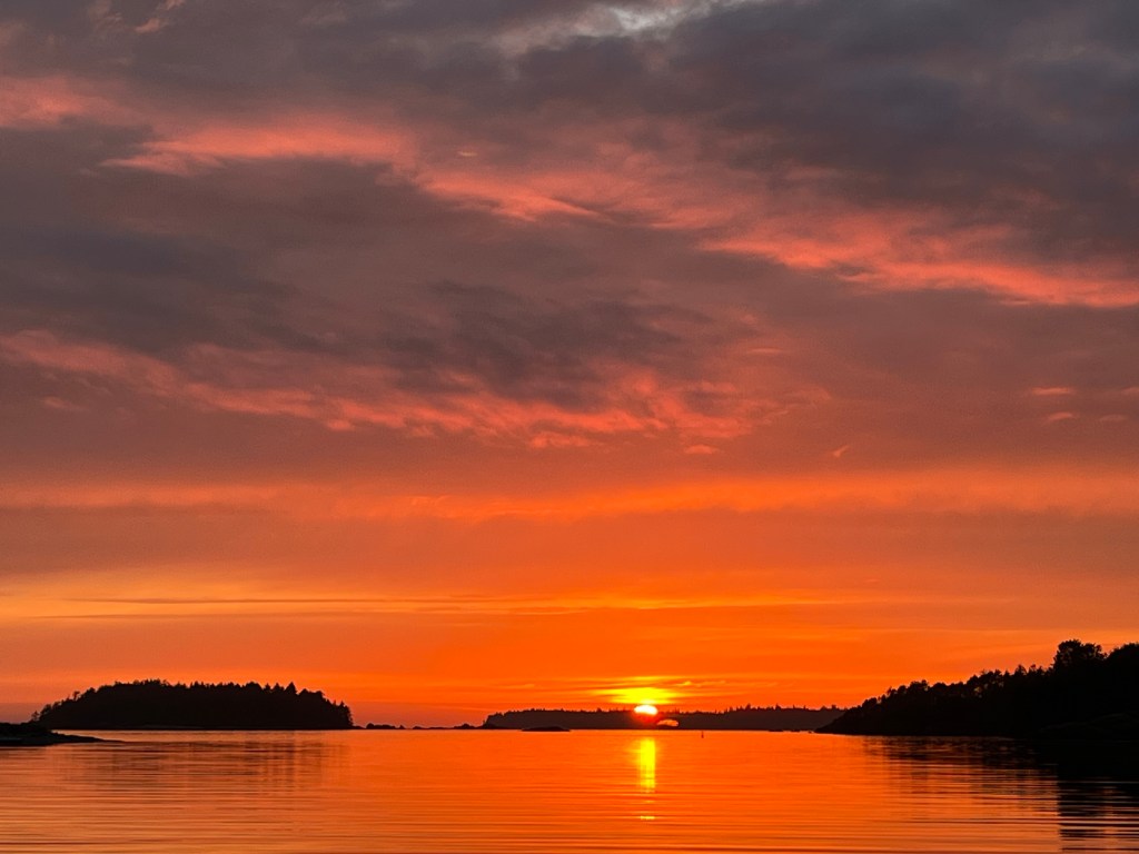
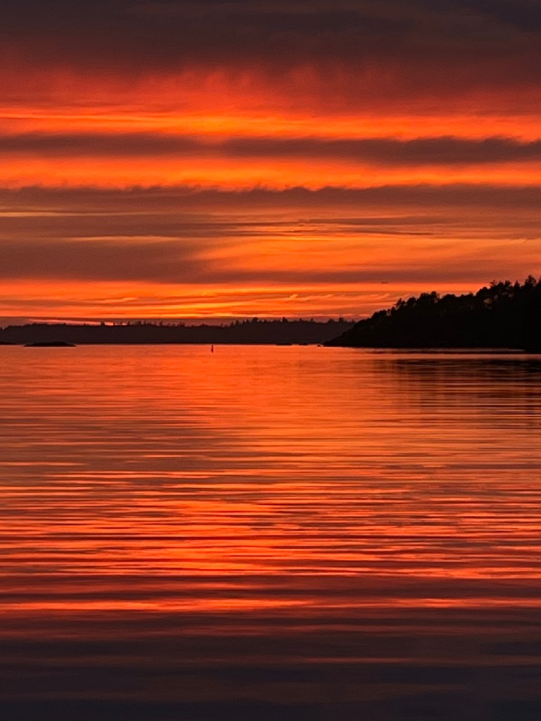
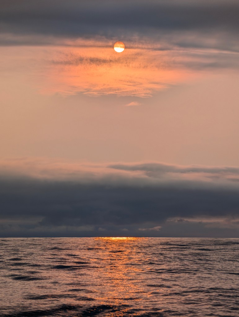
We watched our most beautiful sunset this trip. Too many pictures taken!
Friday, 16 August
Nuchalitz MP to Tahsis: (49-55.0N 126-39.8W)
In search of an ATM, we shifted our sights today to the village of Tahsis, an old logging town that has sadly collapsed with that industry. Waggoner’s Guide says that the Westview Marina in Tahsis is helping keep the place afloat. Having moored there – tres chere – we will agree.
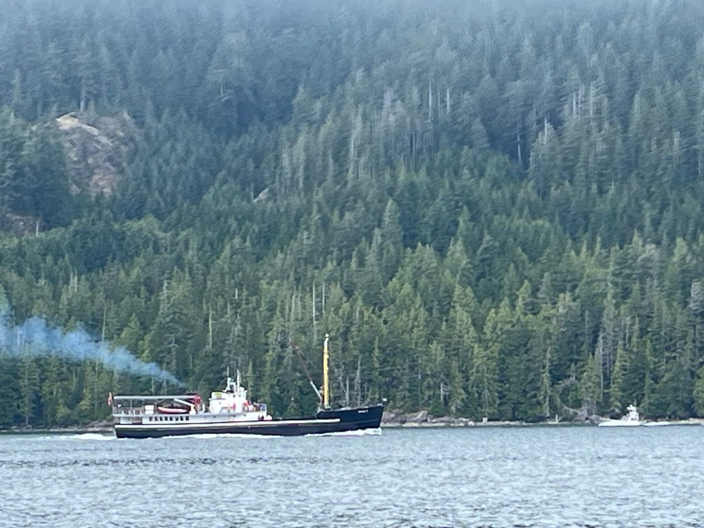
We had the fortune of being passed by Uchuck II, Vancouver BC, a provisioning vessel for numerous small communities up and down the west coast of Vancouver … like Walters Cove, Tahsis (where we are spending the night), etc. For the discerning eye, there’s a similar but much smaller provisioning boat that’s like a Navy Mike Boat in the distance south-bound. The Uchuck II and cousin Uchuck III also deliver and retrieve kayakers along the coast!
Subscribe to get access to the rest of this post and other subscriber-only content.
Subscribe to get access to the rest of this post and other subscriber-only content.
One correction, one important addendum:
Correction: “From one local fisherman PLYING his trade, “this is my home.”
Addendum: Bird Notes: I had mentioned seeing my first Black-footed Albatross on 24 July. During the passage, I saw a few more on the evening watch 30 July AND identified a NEW BIRD, many Leach’s Storm Petrels.
Prequel: The Black Turnstones arrived in Prince Rupert yesterday. Locals call them Kee Kee birds for their incessant, loud chatter which is quite similar to that of their cousin, the Ruddy Turnstone.
A float-full of Black Turnstones trying successfully to keep a Short-billed Gull in their midst from getting a decent nap.
Exhaustion and lateness of the hour motivated me to draw a line at 20 July on my last posting on Sunday, 28 July. Monday we departed Sitka for our first-ever passage. Read on for details about that epic adventure! But first, 21-28 July…:
Sunday 21 July
Blue Mouse Cove to Bartlett Cove: 58-27.5N 135-53.2W
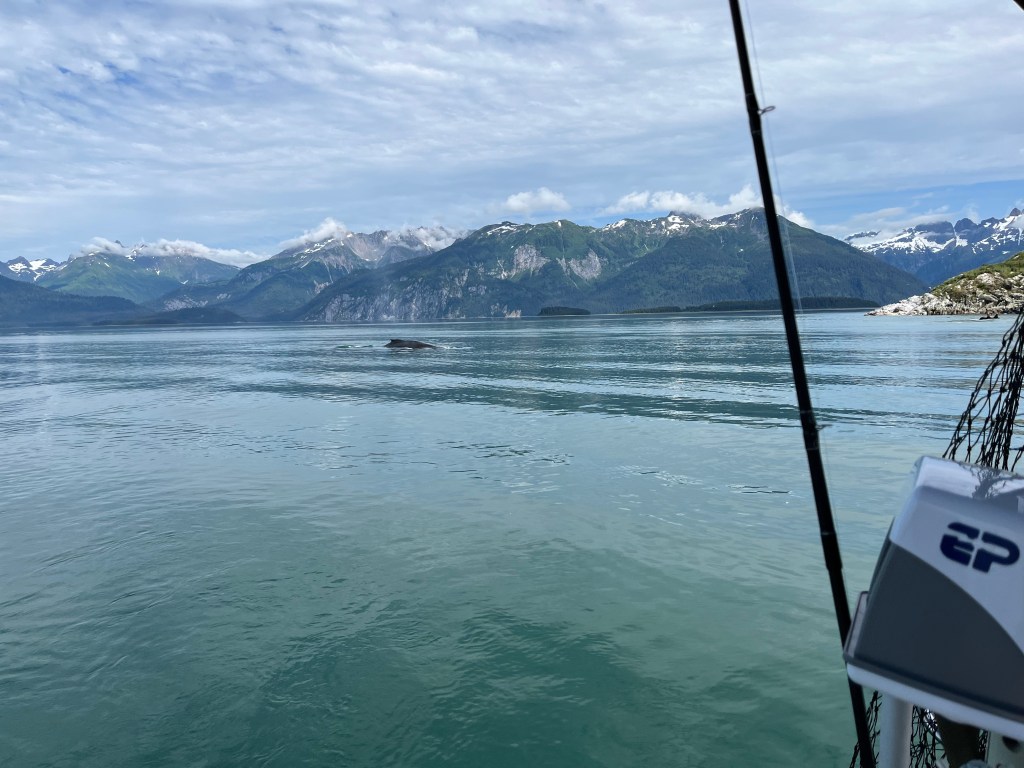
Harbor Porpoises circle Encore three times in early dawn, and Humpback Whales visited.
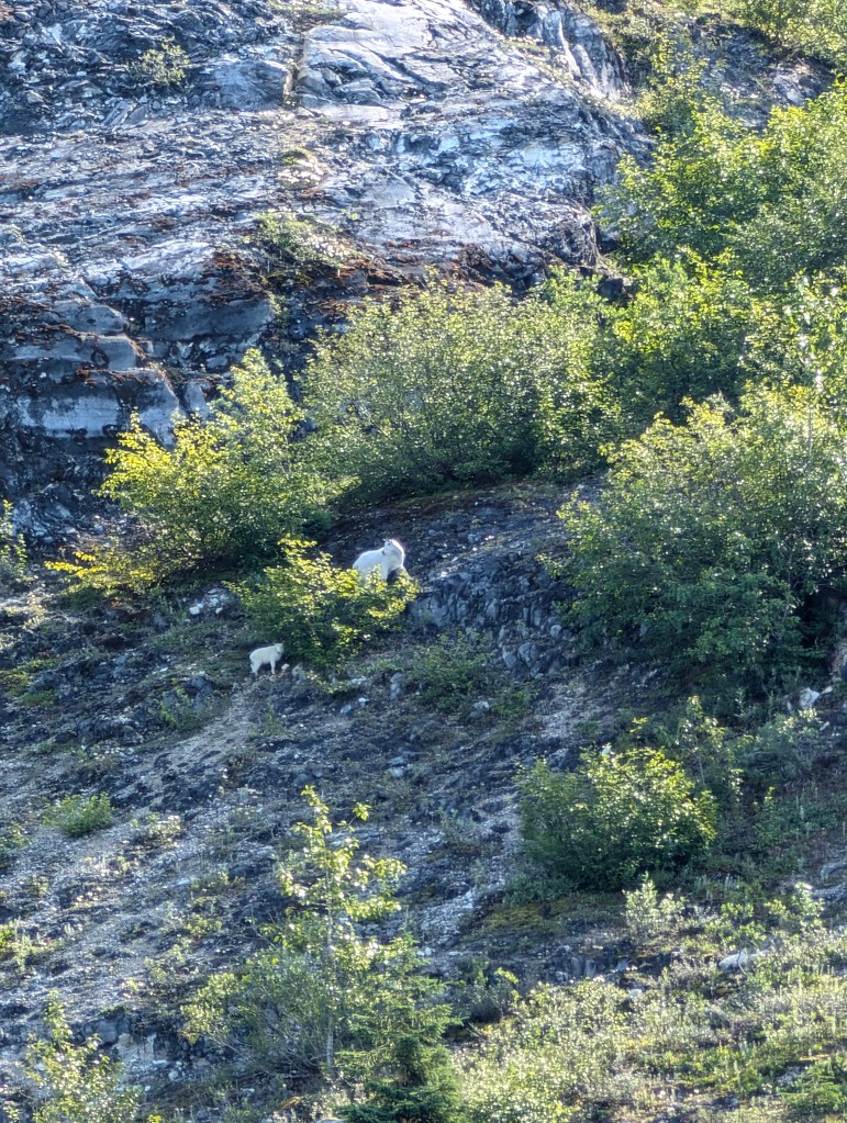
We revisited Gloomy Knob in search of Mountain Goats and spotted eight!
Motoring south, we passed North and South Marble Islands finding Tufted and Horned Puffins, Humpback Whales, and fragrant Stellar’s Sea Lions again on the south island.
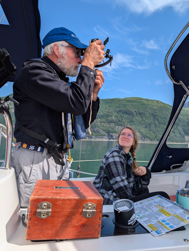
Smooth water afforded excellent opportunity for me to exercise very long-dormant skill using a sextant (Thank you Penn State classmate and Triangle Fraternity brother Captain Edward Zurey!) and the chance for Robin and Sophie to try it out.
We are sad to leave Glacier Bay National Park behind, a southwest wind permitted entry into Bartlett Cove under sail where we fueled and pumped out.
Monday 22 July
Bartlett Cove to Green Top Harbor: 57-52.2N 136-26.9W
After observing a perfect sunrise, we sped from Glacier Bay National Park on a huge ebb, and passed south around Lemesurier Island into to South Inian Pass where we encountered waters more turbulent than Deception Pass under flood conditions that clawed progress down to a knot and da half at times for over an hour. Orcas seemed to enjoy it.
Big majestic mountains of the Fairweather range and the mighty Brady Glacier loomed among clouds to north as we approached Cape Spencer.
This afternoon presented us the first of two very tricky approaches to secluded anchorages through rock-strewn channels, and it was flawlessly executed at the approach of lower high tide with the boys at bow watch, Jane watching the chart plotter, and Sophie watching and reporting depth.

We launched Bravo after anchoring to row around the secluded inlet as evening arrived…
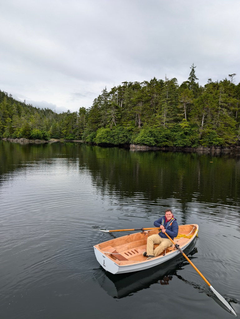
… and brought her aboard the next morning after a couple more spins during the morning -2’ tide.
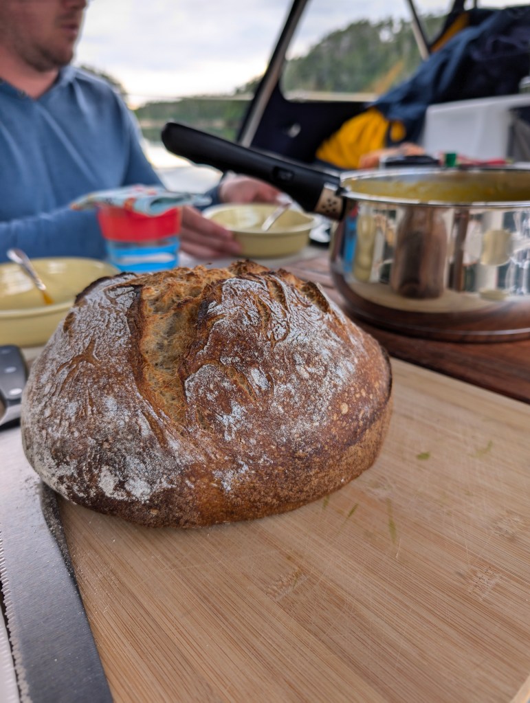
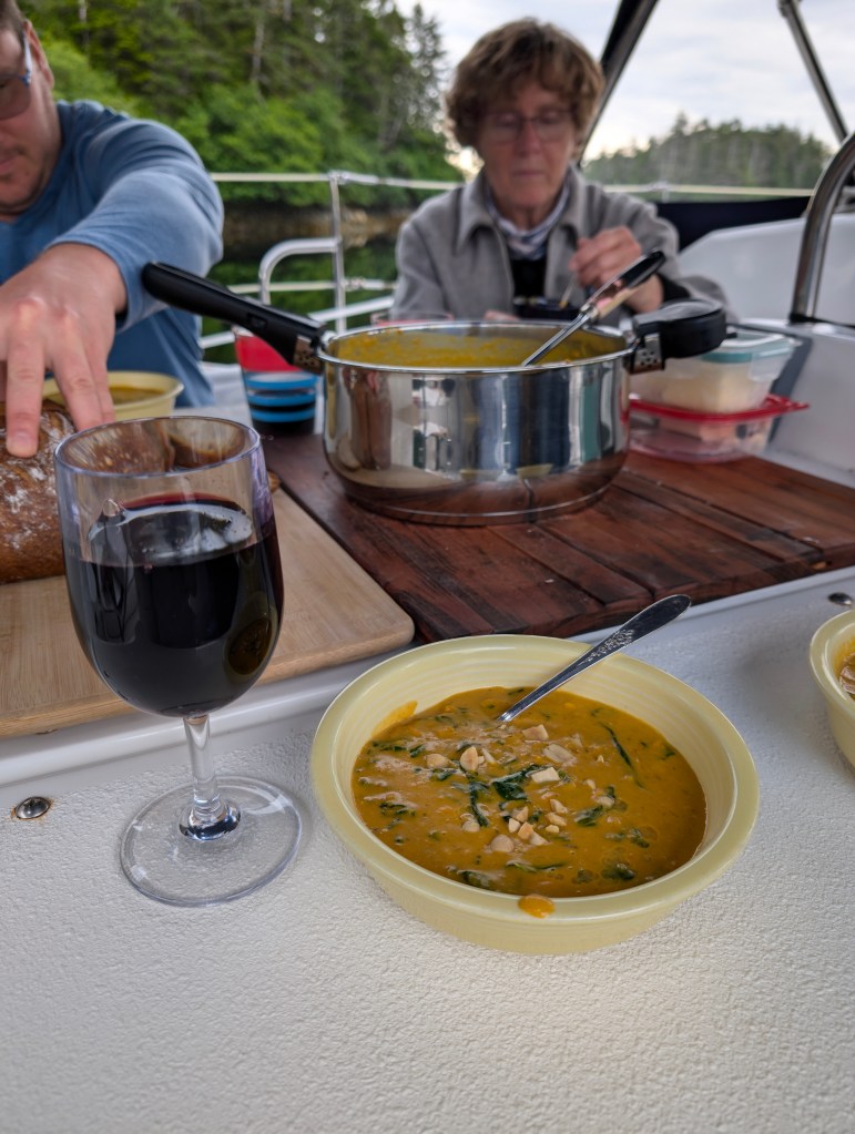
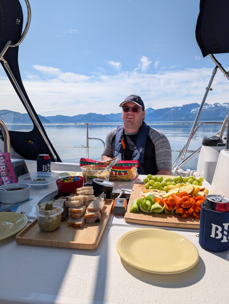
We ate like kings and queens!
Tuesday 23 July
Green Top Harbor to West Arm: 57-47.8N 136-20.1W
We dined on homemade cinnamon rolls this morning, before realizing what lay ahead!

Feeling our way out of Greentop Harbor at the approach of Tuesday’s lower high tide, we launched into the roughest sailing day ever for any of us. 22-25kt winds that had developed state 3+ seas overnight that were on the bean with 2m waves and occasional steep 4m rollers. We motor-sailed scarcely two hours across Lisianski Channel with a small triangle of jib out. Driving rain on the starboard quarter made me thankful for having switched from glasses to contact lenses this morning. Between rain and very foggy conditions, finding the channel into West Arm was nerve-wrackingly possible only with the aid of GPS and a chart plotter that Jane had to wipe off every minute or few.
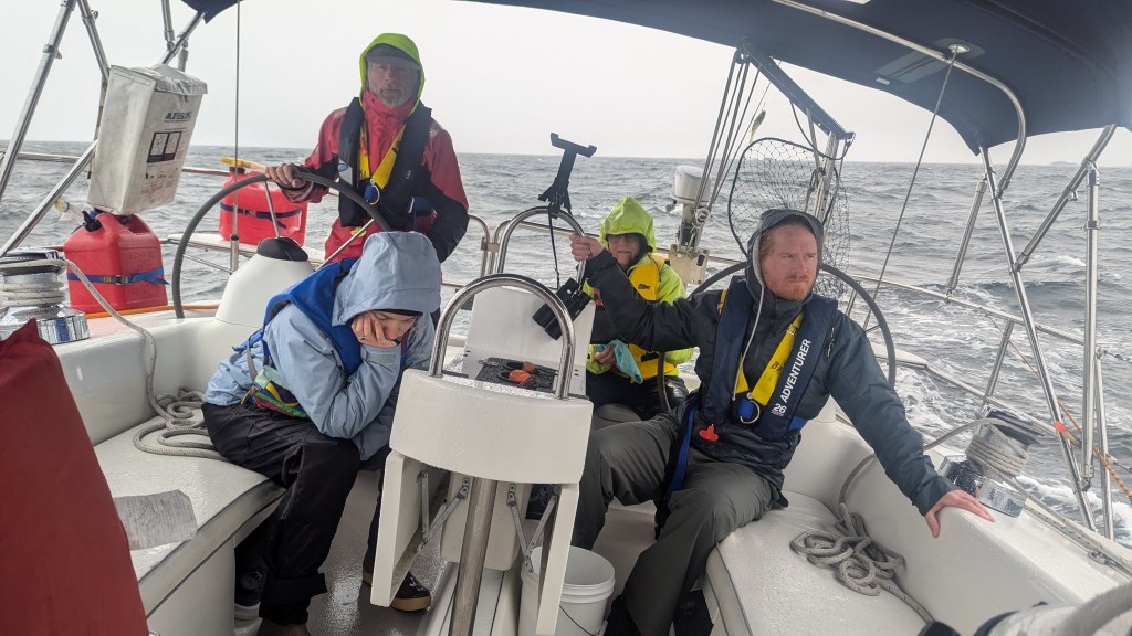
Thankfully the exhausting trip that had us all soaked was short. Immensely relieved by reaching flat conditions between Kinky and Fleming Islands, my nerves began tingling upon seeing several uncharted ISLANDS (vs singleton shallow points), let alone differences between two Navionics chart renditions of West Arm and also the Douglass and Douglass sketch. Thankfully, I had timed our arrival to be just past the lower high tide. We crept over shallow ridges between charted rocks and managed to avoid bottoming at the point we reached the head of the bay in a scant seven feet.
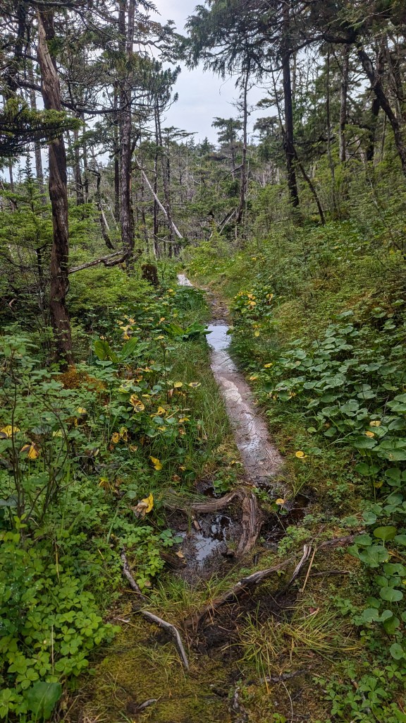
Completely drenched, we launched Bravo for a very short trip ashore to the trailhead to White Sulphur Springs hot springs. Advertised as a fifteen minute walk along a “boardwalk,” Jane, Andrew, and I seriously discussed turning back for fear we had missed a turn somewhere at thirty minutes. Andrew thankfully suggested pushing on. The rustic boardwalk was generally sturdy, but in many places moss was encroaching on both sides of 2”x16” planks. Many planks were submerged in water even to the point of serving as stream beds given such rainy conditions.
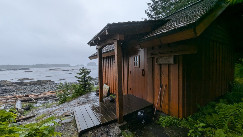
Spotting a large solid structure through the trees brought huge sighs of relief all around, and shortly we stepped into a fortress of a bathhouse reconstructed just eleven years earlier to behold a large, enclosed pool the size of a small living room overlooking the bay through two retracted windowed heavy barn doors. The floor of the chest-deep pool took advantage of a broad notch in an immense boulder, walled off at the sea-side end, the crotch of which had been filled with concrete over roughly 25 square feet.
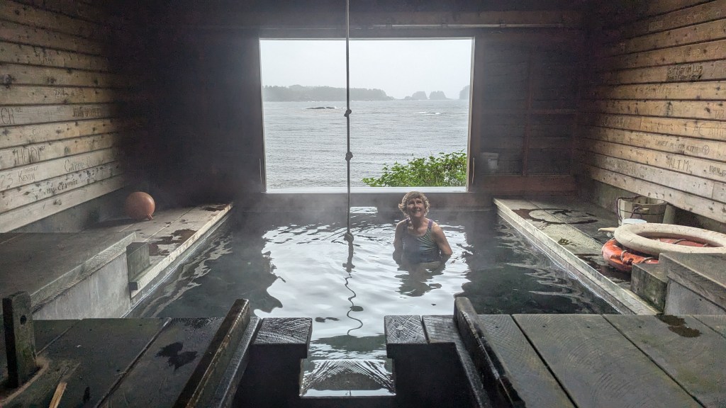
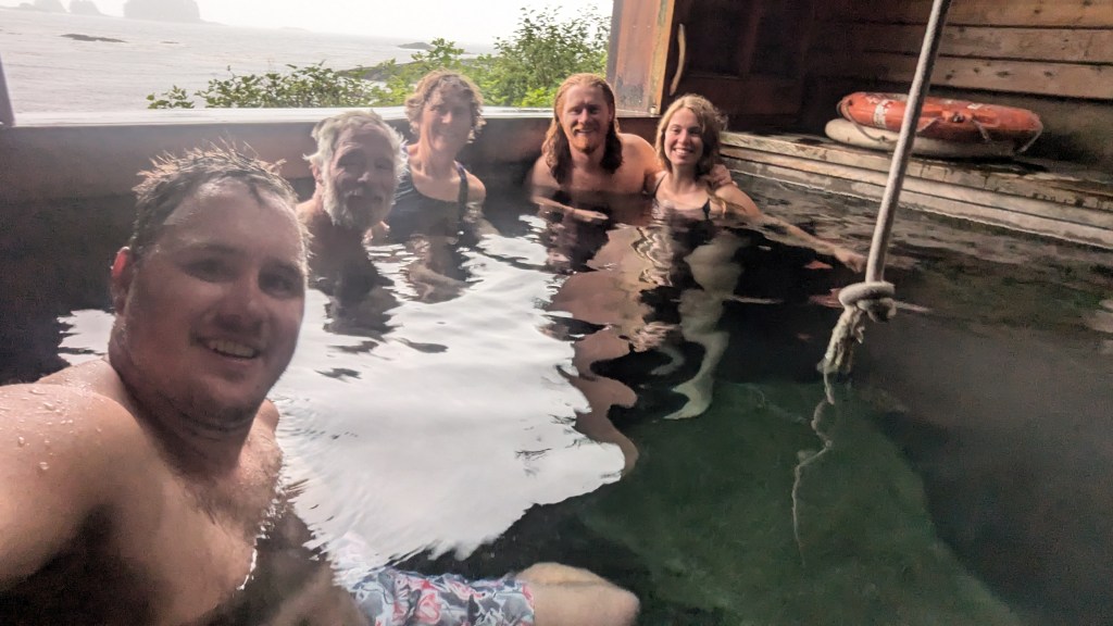
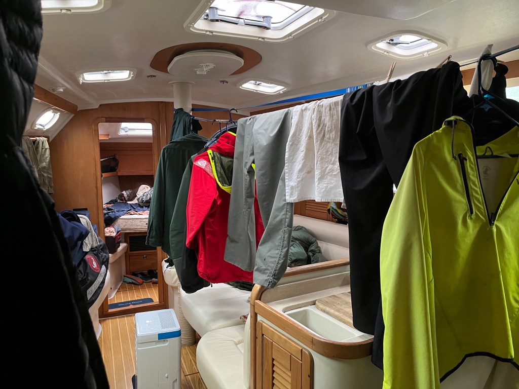
I trudged back to Bravo to fetch Robin and Sophie, an hour after setting off the first time, and assured them White Sulphur Springs was worth the hike. The five of us enjoyed the hot spring, which had to be close to 105F, for close to an hour before returning to Encore around 8pm. Seeing depth at 0 feet, the suggestion was made and accepted that we relocate Encore to the middle bay in, at that point, 11 feet of water. I began running the dehumidifier on Honda generator power.
Relocated position: 57-47.7N 136-19.8W
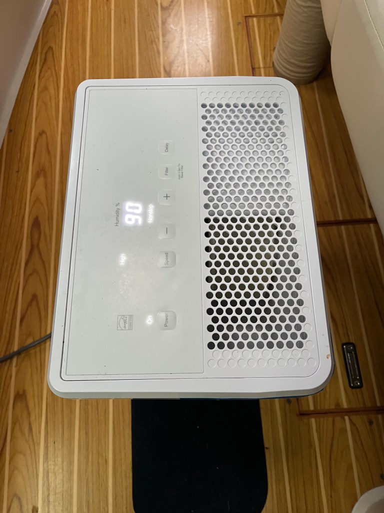
Note the humidity …
Wednesday 24 July
West Arm to Kalinin Inlet, Kruzof Island: 57-19.2N 135-47.2W
After breakfast in West Arm and just beyond a -1.2 foot tide on the flood, I shuttled the kids for a final visit to the hot springs as we continued, for over six hours, running the dehumidifier awaiting the next high tide on which to depart.

I then followed Andrew’s excellent suggestion to trace paths from anchorage to the West Arm channel inlet aboard Bravo using iPad Navionics with Bad Elf GPS by which we navigate Encore. Having done so clarified just what cartographers had had in mind with scanty markings of a few rocks here and there. The scouting trip raised hackles on my neck when I realized that our turn into West Arm, shy of Mirror Cove, carried Encore across an invisible saddle between two invisible pinnacles a boat-length apart. The saddle was now fully three feet out of the water. The trip back to sea at the mid-afternoon’s lower high tide approached was a breeze following such effective scouting.
West Arm rocks were unkind to Bravo.
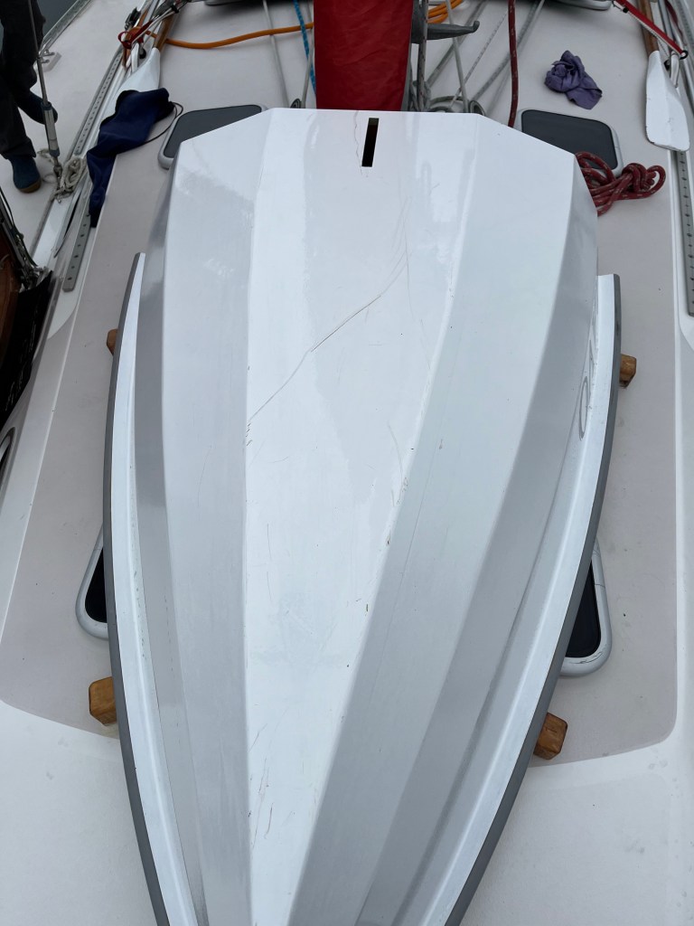
Bravo took some battle damage at the beach trailhead.
Lovely rolling seas persisted under higher clouds and light wind. Gentler seas were much appreciated by all!
A Black-footed Albatross zoomed past us at one point, vanishing briefly in 3m rollers, and wheeled around for a second look at us.
The sun made a welcomed appearance.
The verdant coastline resembled French Polynesia with tall, steep cloud-capped mountains.
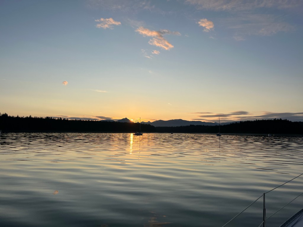
A unique upside-down sunset appeared behind us.
A Humpback Whale close aboard welcomed us into Kalinin Inlet on Kruzof Island, home of Mt Edgecumbe to the south, where we anchored at 2100.
Today was unique with not a single AIS contact and only three other boats, fishing boats, observed at sea.
Bird Notes: Western Flycatcher, Kingfisher, three Greater Yellowlegs, Black-footed Albatross (NEW BIRD!)
Thursday 25 July
Kalinin Inlet to Sitka: 135-03.6N 136-21.3W
It was a mostly uneventful last leg to dockside moorage at Sitka highlighted by our circumnavigation of Chichagof Island, capping off having rounded Baranof Island on 1 July and Admiralty Island on 2 July. I celebrated by shaving the blanket off my face. Still need a haircut….
Bird Notes: Early up and on deck, I found it a pleasure to hear the first Varied Thrush in five days. A Kingfisher, Bald Eagle, and Ancient Murrelet also made appearances.
Friday 26 July – Sitka: 135-03.6N 136-21.3W
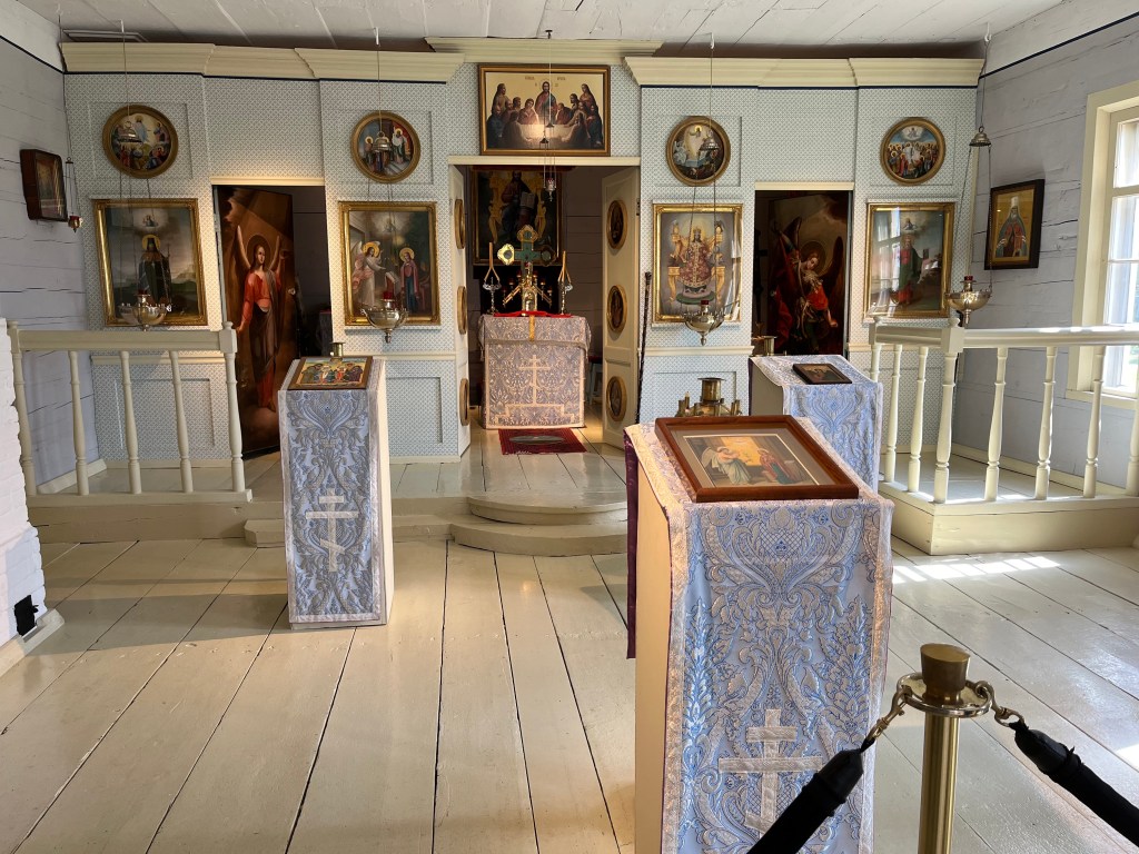
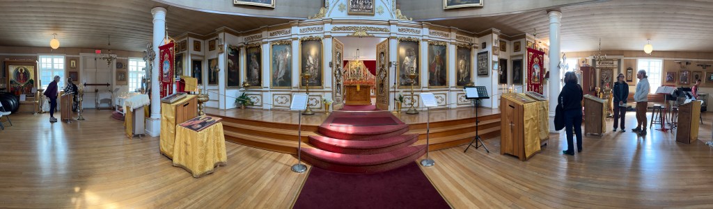
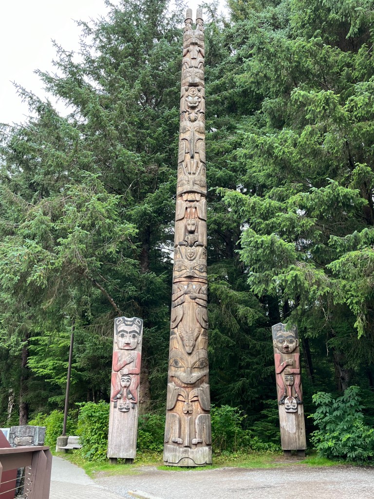
We spent a good part of today on foot exploring the intriguing town of Sitka – its historical buildings (Bishop’s House and St Michael’s Cathedral), museums, and waterfront parks.
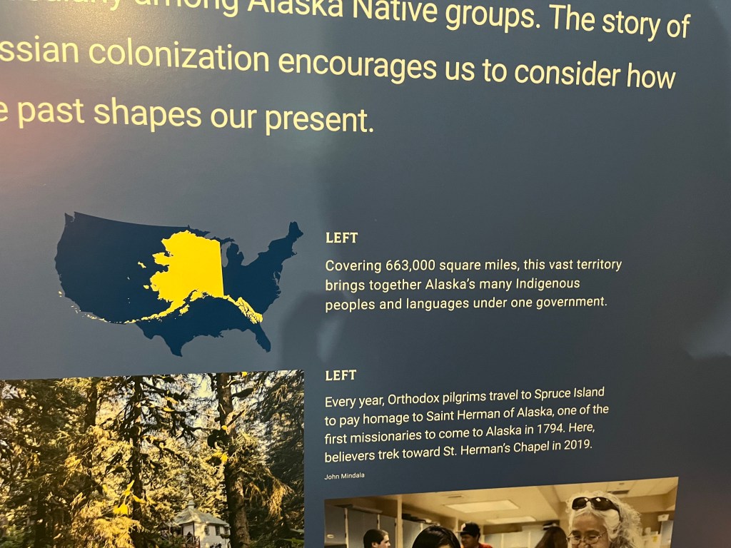
Note the size of Alaska relative to the rest of the U.S.
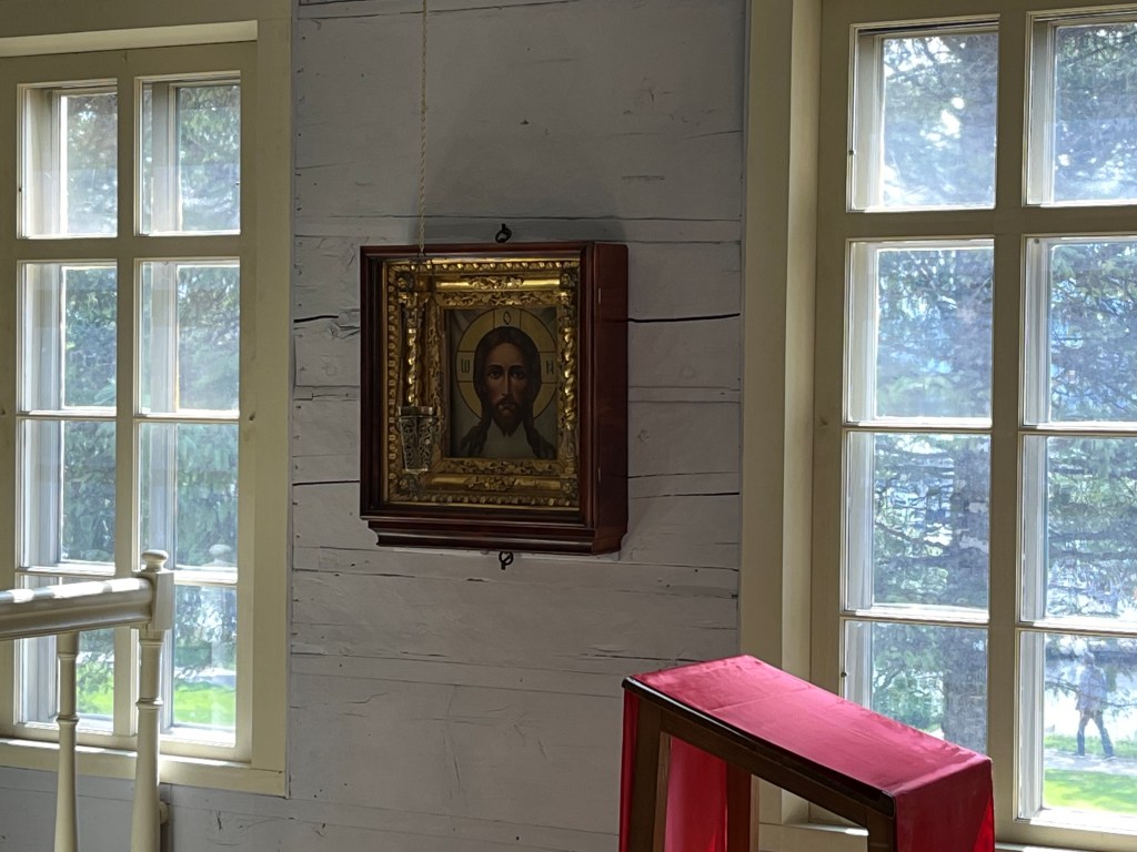
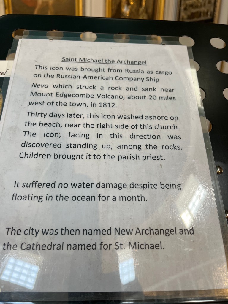
Imagine what discovering this icon must have been like for the populace…. All aboard the Neva were lost at sea.
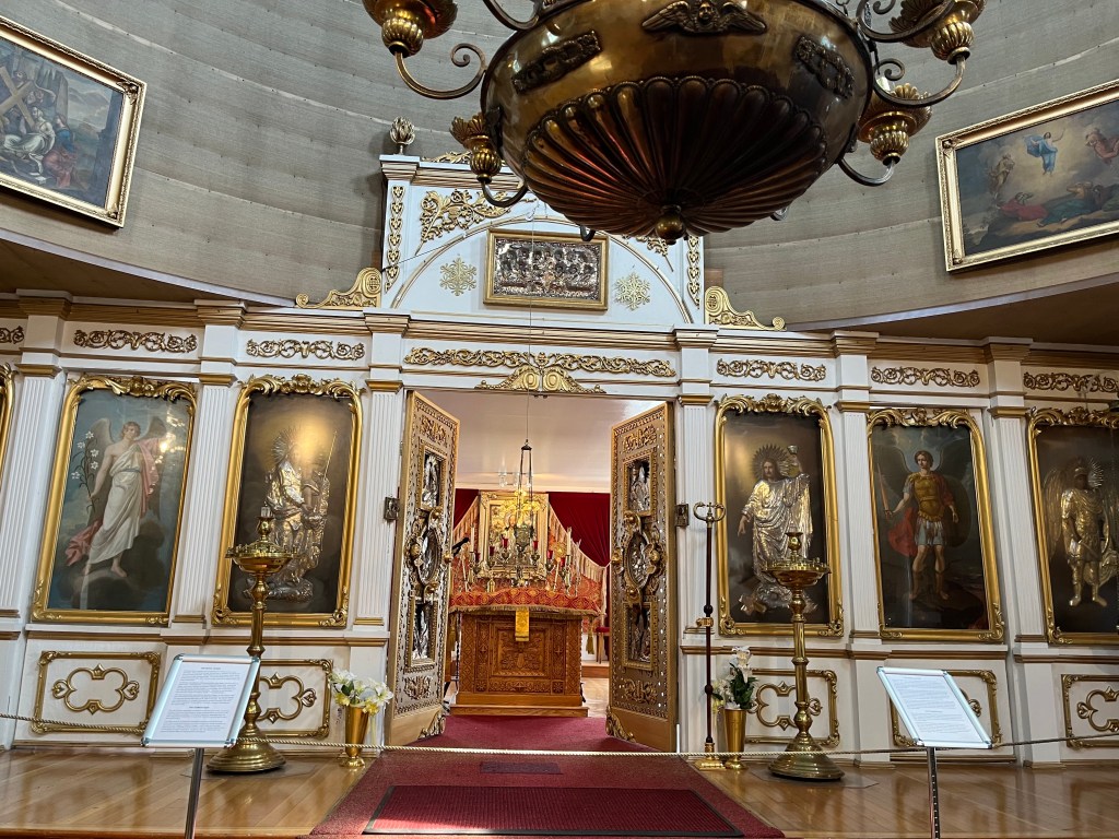
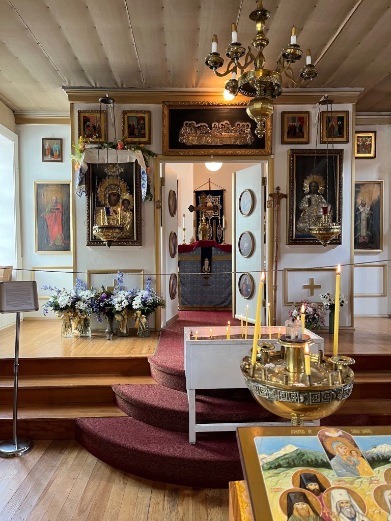
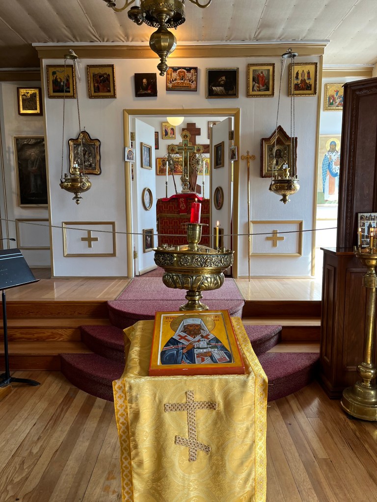
Central (left) sanctuary, adjoining sanctuaries (left, center and right, right-most)
The museum video provided an intriguing introductory perspective: From a modern-day fisherman dying his trade from Sitka, “this is my home.” From a modern-day Russian woman working in Sitka, “this is my home.” From a modern-day Tlingit living in Sitka, “this is my home.”
Dinner at Ludwigs Bistro, Sitka.
Saturday 27 July – Sitka: 135-03.6N 136-21.3W
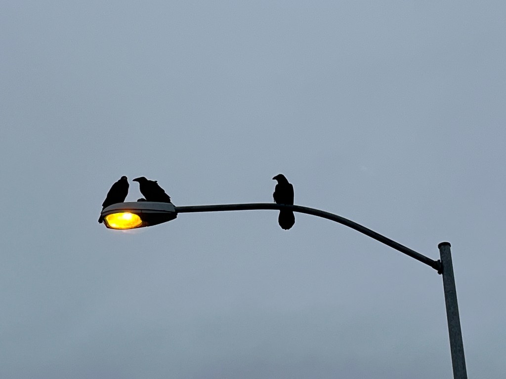
Despite their forlorn appearance on a very wet early morning, these Ravens are among oodles suggesting that Sitka is the Raven capitol of the world. Perhaps this is a connection to the Tlingit world. Sitka is also the runner-up Bald Eagle capitol of the world (second to Auke Bay).
Today Andrew, Robin, and Sophie departed for the lower 48 this afternoon.
Sunday 28 July and Monday-Wednesday 29-31 July – Prince Rupert:
Sunday we prepared for our first-ever passage (translation, overnight sailing) with the initial intent to make it first to Craig, AK then on to Prince Rupert. Trepidation was in the air.
We set off from Sitka early Monday morning saying farewell to that fine town and looking forward to roughly 30 hours of underway time to reach Craig.
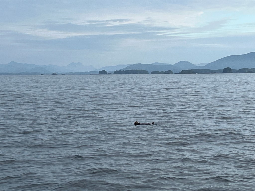
A Sea Otter bid us fair weather and following seas. This was to be the case … for the first fifteen hours…! Later Monday, Jane took the 2100 watch (we started 3 hours on, 3 off at 1800) as we watched a couple of Humpbacks leap into the air seven times interspersed with fluke-flaps perhaps a quarter mile off the starboard bow. The impressive concussions of body- and fluke-impacts with the water, time-delayed with the distance, surprised us. We’d not heard that when we watched whale leaps on 18 July.
At the point we reached the entry point for Craig we were pretty tired from a rough, noisy night of motor-sailing. But the call to press on, backstopped by “reasonable” weather forecasts ahead through Dixon Entrance, exceeded the longing for a break. The Environment Canada predictions for Dixon Entrance and Hecate Strait were less onerous than those from Juneau for Dixon Entrance to Cape Decision and South Chatham Strait and were consistent with our observations at the moment. So we pressed on.
Sailing at night is not for the faint of heart. On a cloudless, rough, dark, and at times wet night, the helmsman has a single reference point to steer by – the compass – which is not in the least steady, but, by all accounts, it is steadier than ones GPS heading. It is hard for either of us to describe the exhausting challenge of standing or sitting, even for three hours, while steering a bucking “small boat” like Encore, through waves some of which were amply large enough to “swallow” the hull from view, with just a dim and wandering compass by which to steer.

Note that the horizon is defined by the wave next to the boat.
There are certain things about passage sailing that entice …
We made it and are proud to have completed a 53 hour, 300nm passage. Customs check-in, final docking, and a beer at The Breakers Pub preceded ten hours of dead sleep. We had made it!
Subscribe to get access to the rest of this post and other subscriber-only content.
Subscribe to get access to the rest of this post and other subscriber-only content.
Subscribe to get access to the rest of this post and other subscriber-only content.
Bird Note!
Jane reminded me this afternoon that yesterday, as we were about to turn away from the Leconte Glacier, a hummingbird, no doubt a Rufus, zipped in the lee of our dodger, hovered over the companionway and checked out Jane’s steering, and, then seeing all was well, sped off.
