Home stretch and last 200 or so miles

5.12.26 – Wednesday

There is little that is quite so comforting as a long, relatively straight down-wind sail on easy seas, even if the motor is also running. The five and a half hour trip took us south of Savary Island south of Lund thence southwest to Deep Bay. We took the opportunity to sail a new stretch between Denman and Hornby Islands and topped off freshwater tanks from Deep Bay’s supply of the best water along the inside Vancouver Island coastline.

5.13.26 – Thursday

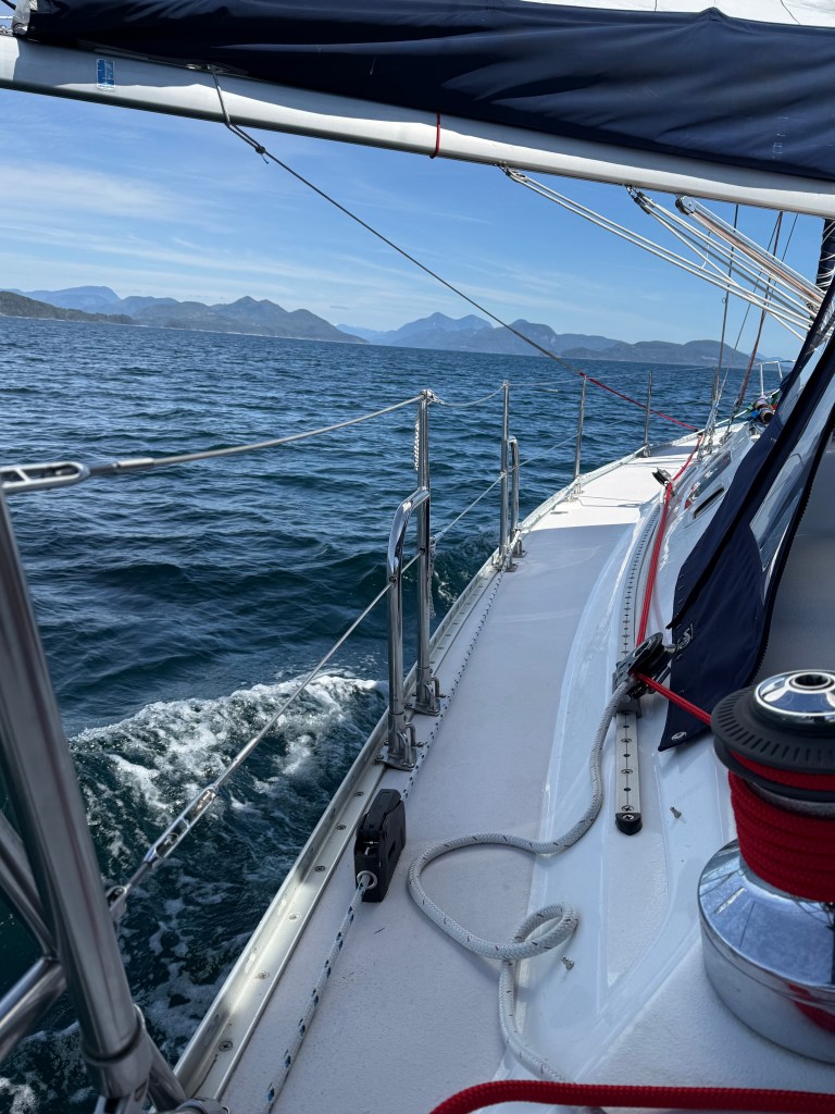
With a 0542am departure from Deep Bay heading for Silva Bay on Gabriola Island 47 miles to the south, we were expecting a moderate westerly breeze and were surprised to encounter 22-24 kt true wind from the west … but not in hindsight. The marine weather broadcast for the Strait of Georgia north of Nanaimo frequently caveats wind speeds as such and such “except for Qualicum Bay” which are typically ten knots higher. I should have done better homework both this trip and earlier ones regarding this geographic and meteorological novelty to actually determine just where Qualicum Bay is. Sure enough, it is ten miles south of Deep Bay. With full sails flying from the start, an hour and a half underway we first reefed the jib to 30% (fully reefed for that sail) and soon thereafter muscled the main to it’s first reef position which provided a much better ride for both us and the Hydrovane.

We’d seen few mammals this trip and were pleasantly surprised to see two whales venting at considerable distance out in the strait roughly three hours underway. Forty five minutes later, the wind died, and we lowered sails to motor. To our anguish, 10kt southeast winds arose (not in the forecast) on the bow (of course) and with surprisingly developed seas. We turned ashore to duck behind a few islands north of Nanoose Bay to alleviate pitching but later had to face seas again passing Nanaimo. The final three and a half hours were slow and a bit uncomfortable. We approached Silva Bay via the north entrance, new to us, and tied up uneventfully at the “hammerhead” of B dock after 8.5 hours underway – a longish day. I’d not heard the term”hammerhead” used before, but it’s rather fitting.

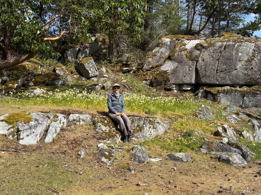
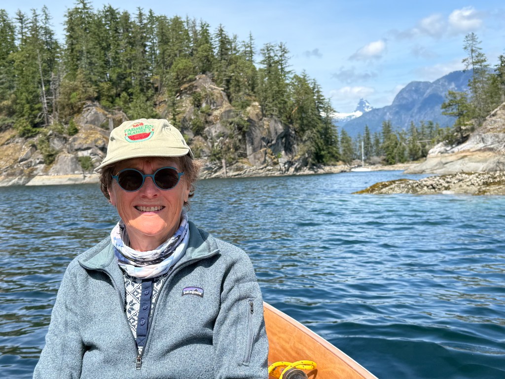
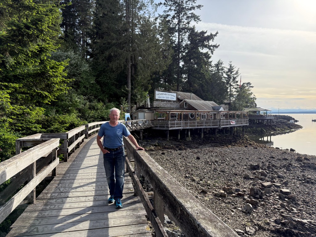
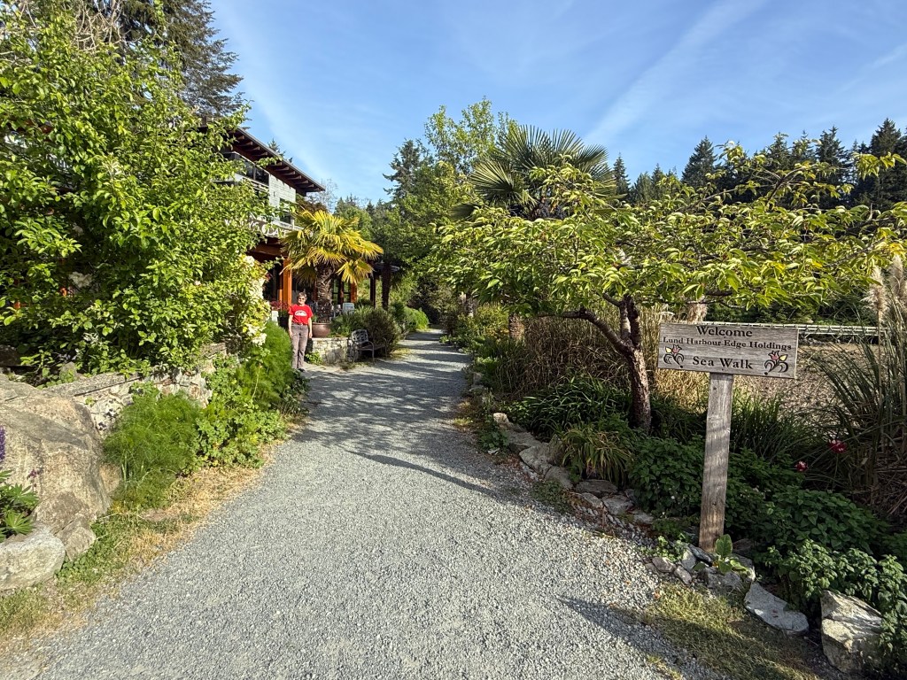
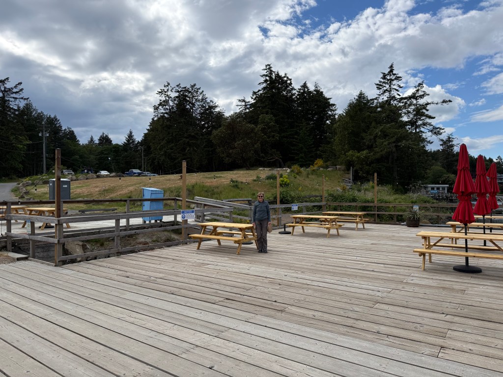
Our last visit to Silva Bay was with Robin and Mary aboard in 2010. We first anchored – to tend to misfortune with one of Palancar’s spinnakers, a story which I’ll not dwell on, and then moved to a dock. In 2017, the really nice restaurant that sat on a rise overlooking the Silva Bay Marina caught fire, burned to the ground, and has yet to be replaced. We learned of two issues delaying progress. The first is the discovery of middens on the plot. Really? The second is more plausible – the limited availability of water coupled with the zoning and water rights involving that parcel. The group that’s trying to rebuild has spent time and money perking up marina docks and other infrastructure and assures the public that it’s just a matter of time before a new restaurant will appear. We are not holding our breath. The photo of Jane below standing on a newish part of the shoreward dock is of the lonely and bare hillside.

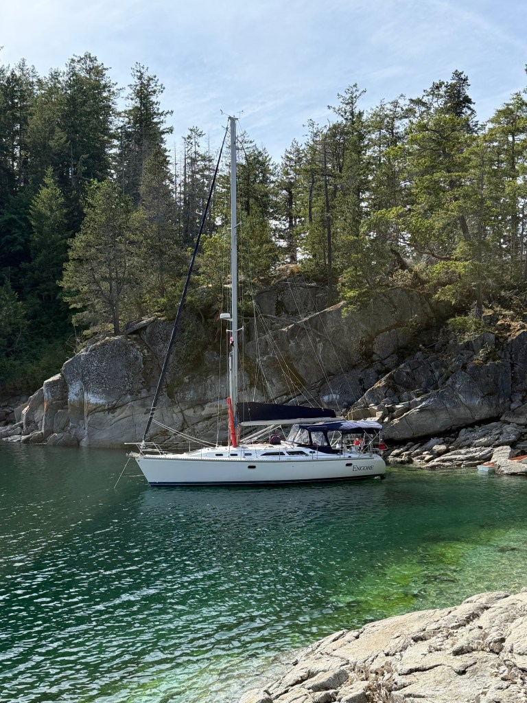
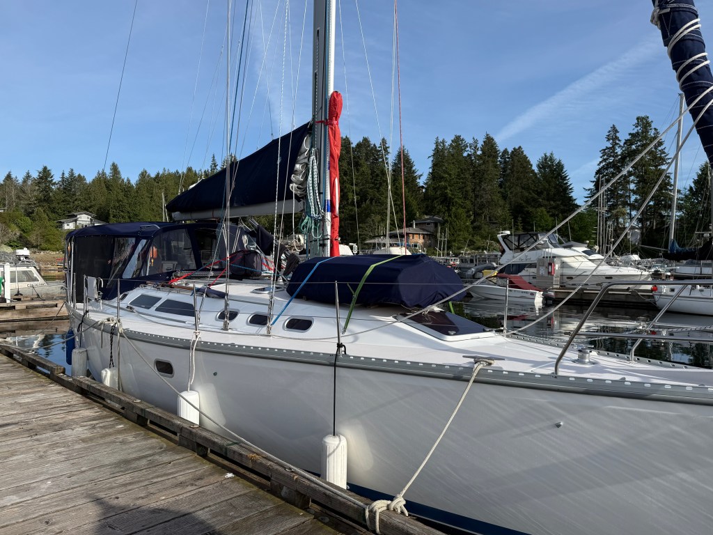
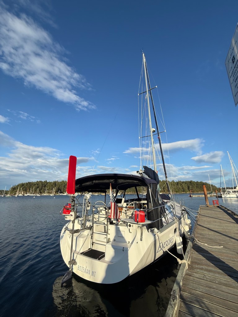
Silva Bay is a beautiful setting as captured in this picture of Encore on the “B” dock hammerhead.

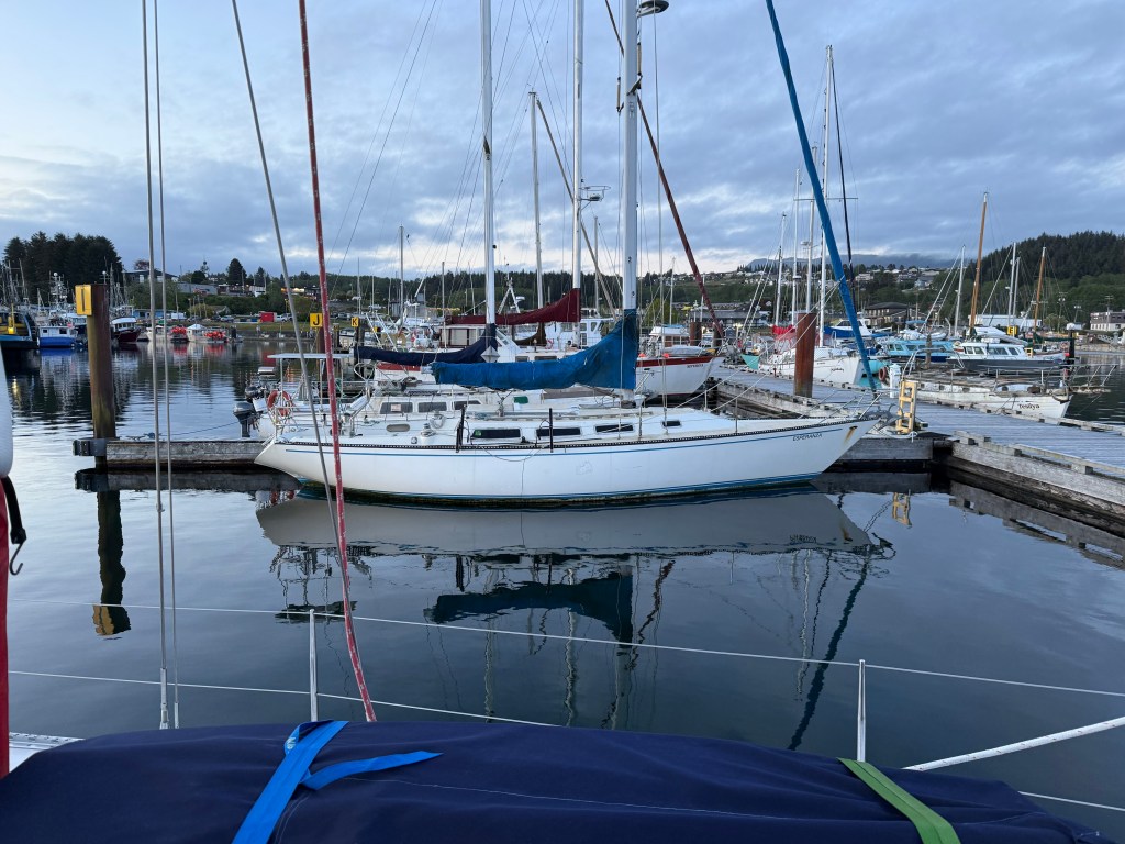
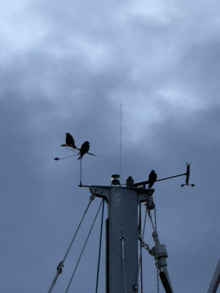
Several Purple Martins were about early the next morning as we endeavored to make the most of a strong ebb tide on our way to Montague Harbor.

5.14.26 – Friday

Some sailing days carry more adventure than others. Our Yanmar’s alternator did not start recharging the battery banks when I started the engine a 0545am, something that normally happens without a fuss. That Balmar component and its two related Balmar regulators had been black boxes to me and were front and center to provide me an educational opportunity. Poring over the well-written alternator and primary regulator manuals was quite helpful as I began poking around with a voltage tester. I noted a 360 (local to home) area code phone number in the regulator manual and pessimistically gave it a try. To my complete shock, a young man by the name of Chris answered his phone in Marysville at 0710am! We talked through the indications, and he provided some recommendations to determine if the problem lay with the regulator, the alternator, or the wiring between the two which I said I’d undertake and get back to him. The wiring connections appeared fine, so I was left with the belief that I needed a new alternator. After talking with my main on-island electrician and one more call to Marysville, I was eyeballing a plug connector that supplies a variable field current to the alternator. In trying to pry it apart, I discovered that it was mostly undone all by itself. I jammed the two plug ends together, started the engine again, and batteries started charging. Problem solved!

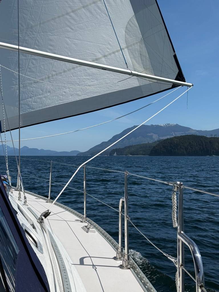
Soon after departing Silva Bay, we turned right to fly through Gabriola Passage between Valdes and Gabriola Islands. This is the northern most entrance into the Canadian Gulf Islands from the Strait of Georgia aside from the usual Dodd Narrows south of Nanaimo, and it was a fun and zippy ride for Jane steering Encore at 10.7kts at the peak! Anticipating, with appropriate skepticism, the marine forecast for westerly winds across the gulf islands, we were hoping for a nice broad reach coupled with the southerly ebb and were happily not disappointed. Four hours after anchoring, the gusty westerlies led us to consider shifting our anchorage to a more protected one inside Montague Harbor and Winstanley Point to the west. Glad we did for two reasons. Around 7pm that evening, the only Orca we’d spotted the entire trip announced its presence venting a couple of times some 350-400 yards north. The next venting was quite close aboard coming from the opposite direction south of us! Quite a big Orca it was!

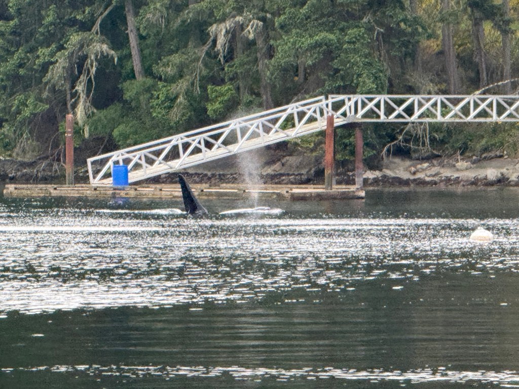
Here is a second and interesting video link. Watch the huge dorsal fin flop to port just as the guy/gal submerges. All I can imagine is that it was laughing having scared the pants off four nested cruisers moored just off its path to the left of the dock visible above.

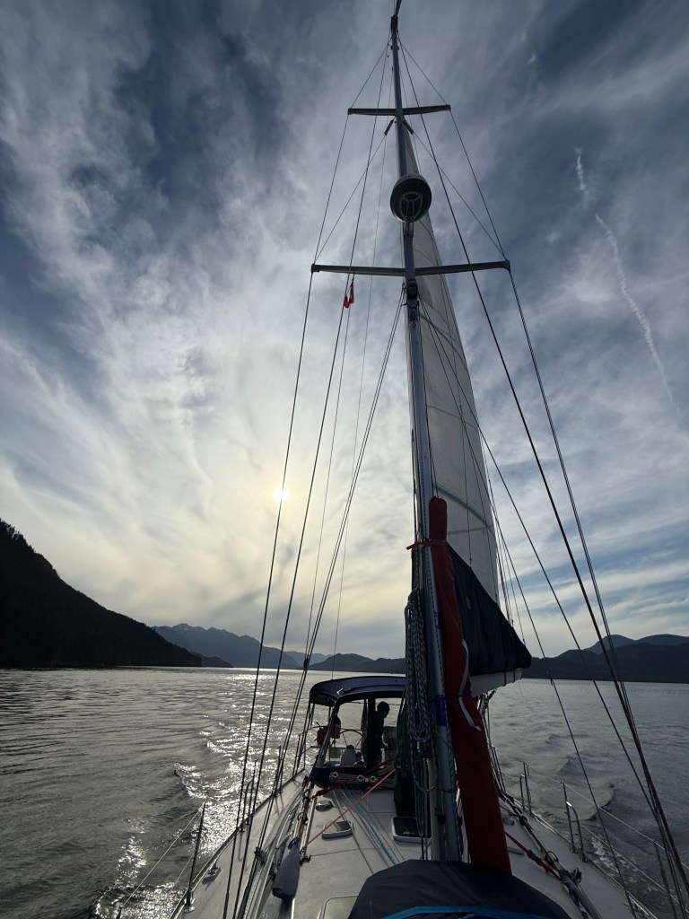
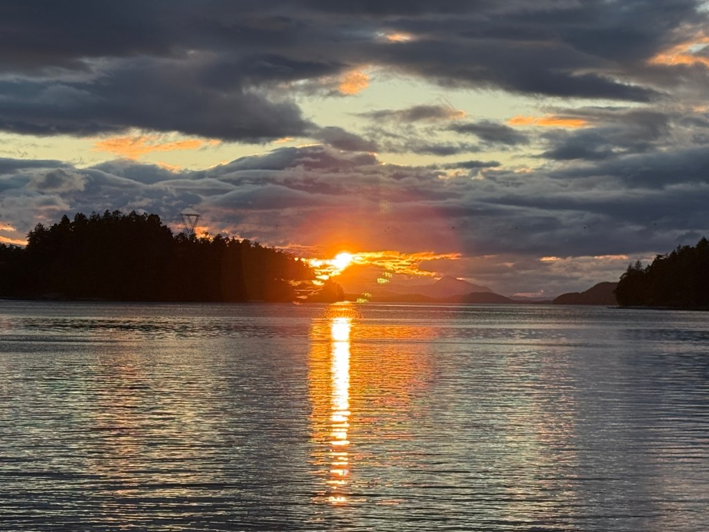
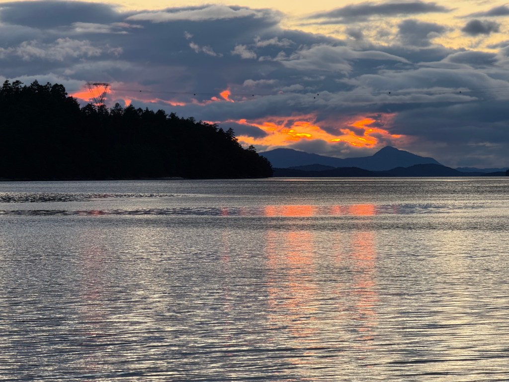
We have seen some remarkable sunsets in the vicinity of Montague Harbor in years past, and this trip blessed us with another one.

5.15.26 – Saturday

After an expected rodeo crossing Haro Strait from the Gulf Islands with respectable west winds revving up against an equally strong westerly ebb tide, we painlessly checked back into the United States using the CBP Roam app while underway and moored to refuel at Friday Harbor. At $226 for 30 gallons of diesel, that refueling took top honors not in terms of gallons but certainly in cost. Thankfully, Encore is a sloop with a miserly fuel diet.

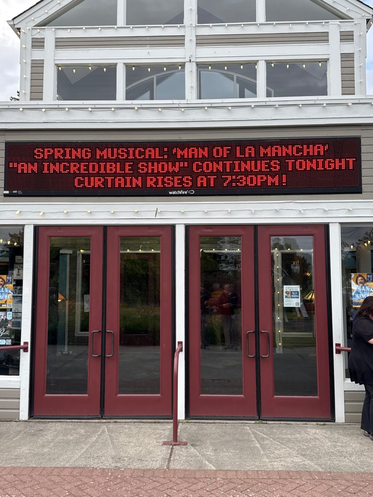
Without a doubt, the best part of our stay in Friday Harbor – the first since 2015 – was watching The Man Of Lamancha, the spring musical put on by the San Juan Community Theater. For those who’ve never seen this show as we hadn’t, put it on your list ASAP (https://en.wikipedia.org/wiki/Man_of_La_Mancha_(film)). There is much about this story that a lifetime of snippets doesn’t remotely satisfy. You will not be disappointed. Our friend from Scouting Days, Jean Wilson, played a supporting role. Who knew she had such a voice and one backed by a music degree from long ago!

5.16.26 – Sunday – the final leg home

It’s a long way from Friday Harbor to Eagle Harbor, 67nm to be exact. This was not our longest trip, which, at 70nm, was from Port McNeill to Thurston Bay at the junction of Johnstone Strait and Discovery Passage north of Campbell River. It just shy of 12 hours nonetheless.

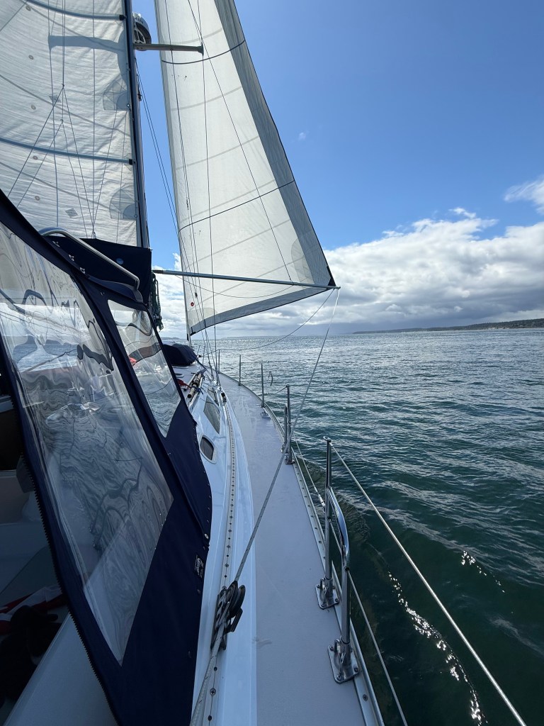
Most sailors of smaller, slower boats who ply the Puget Sound know the tide game pretty well and are particularly alert for the wind against tide factor that can arise making passage both very slow and similarly uncomfortable. We had a taste of that off Point Wilson at Port Townsend but after an especially satisfying crossing of Rosario Strait on a broad reach with beam seas under Hydrovane’s control having rocketed through Cattle Pass between San Juan and Lopez Islands at 13.4kts on an ebb. That set us up for a fast crossing … only to meet the large ebb tide still-disgorging from Admiralty Inlet into the east end of the Strait of Juan de Fuca … and into 15kt westerly winds. Dang! At fully an hour and a half, it was our longest and most lively rodeo of the entire trip. This video doesn’t do it justice.

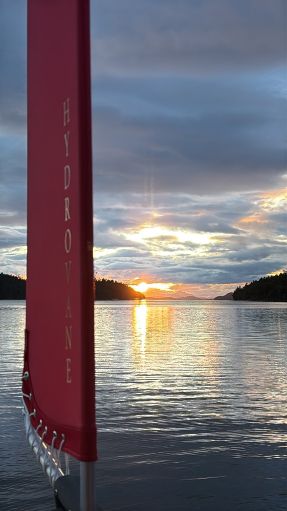
As all tides shift, the flood began as we were working around Marrowstone Point giving us several hours of following wind and seas. It enabled us to explore further the use of our new whisker pole and confirm both a better routing of the jib sheets when the pole is in use and how best to route a downhaul line should winds become gusty. It also allowed testing the Hydrovane sailing pretty much dead downwind, and it worked quite well!

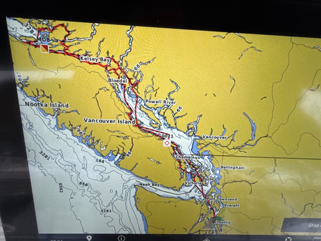
The picture below, taken of our Garmin 1243 chart plotter, provides the track of our entire three and a half week voyage. Sobering to realize that the entire journey was the distance to Ketchikan, Alaska!

Vital Trip Statistics:

Miles traversed in 21 days of underway time: 705nm

Average miles each underway day: 37

Total engine hours: 95

Average engine hours each underway day: 4.7 (We enjoyed several sailing-only hours!)

Engine efficiency (a): 0.7 gallon per hour Engine efficiency (b): 7.4 miles per hour Engine efficiency (c): 10.6 miles per gallon  

Moorage fees – total: $320

Fuel costs – total: $460

Total cost, less provisioning, for three weeks underway: $780

A Different Johnstone Strait, New Gunkholes, and Nostalgia: 7-11 May

Off-grid sailing has its advantages but pokes the guilty button of having not posted a thing since Port McNeill. I am trying to catch up during our morning in Lund, BC.

Johnstone Strait can be formidable to the point of dissuading any save the intrepid Row2AK competitors that take what Mother Nature hands them in a 700 mile grind from Victoria to Ketchikan. That was not our fortune a few days ago when we clocked our longest leg of the trip thus far. Planning to stop mid-way at Kelsey Bay, we were blessed mid-afternoon by the coupling of following winds, following seas, and fair skies that pushed us at times over 8 knots. What’s another 35 miles when you’re cruising at that rate?!

JohnstoneStrait.MOV

This extra time underway with following wind afforded us the opportunity to further dial in our preventer line configuration (the line that holds the boom forward and prevents a potentially deadly uncontrolled jibe) and practice using our new whisker pole.

We stayed at Thurston Bay Marine Park just up the Nodales Channel – a new one for us – before revisiting the Okisollo Channel the next morning. The lower and upper rapids there were benign as was our second passage this trip through the Hole in the Wall west to east. We entered Lewis Channel and took advantage of being ahead of schedule to beat into the wind for a couple of hours. This netted us an underwhelming 3.4 nautical miles … 1.7kts … before we visited Teakerne Arm on West Redonda Island and Cassel Lake Falls before retiring to Squirrel Cove and calmer water for the night.

A video of Cassel Lake Falls descending into Teakerne Arm

Seventeen years ago, Jane and I visited Desolation Sound for the first time and discovered just how warm the waters become mid-summer. While just reaching 65F on this visit, the waters in this part of British Columbia are quite comfortably above the low 50’s of Puget Sound to the south and Queen Charlotte Strait to the north.

No, we didn’t go swimming this time, but we were fortunate enough to find the very spot on Scobell Island where we had moored long ago, dropped the hook there and rigged a stern tie as before.

A 360-video of our anchorage on Scobell Island

A Bald Eagle had watched over us in 2009. Perhaps this is an offspring…?

Ah! A fresh oyster! It was hugely satisfying to discover that among what appeared to be a mortuary of dead big oysters that there were ample numbers of live ones.

Spending a second day, we tackled what we thought would be a straightforward two mile hike out of Melanie Cove past three fresh water lakes, to salt water at Tenedos Bay. Despite a beautiful setting, we found trail conditions difficult, made it only as far as the near end of the third lake in an hour and three quarters, a quarter-mile shy of Tenedos Bay, and turned around.

A video of the stream flowing from Lake #2 to Unwin Lake

We find it pleasurable these days to find things as they were. Such is the case of Lund, BC. To describe it as a bedroom community of Powell River is an overstatement, but Nancy’s Bakery and the Boardwalk Restaurant are still here just as they were in 2009 serving pastries and fish and chips every bit as delicious as we remember!

Nancy’s Bakery right, Boardwalk Restaurant left

Today we will continue our southerly track home. First stop, Deep Bay Marina which we visited on 28 April north-bound; then Silva Bay near Gabriella Island in the Canadian Gulf Islands; then Montague Harbor that we’ve visited numerous times adjacent Galliano Island; then Friday Harbor to check back into the United States and watch a play staring a friend of ours, Jean Wilson; and last, a 70 nautical mile trudge back to Bainbridge Island. The forecast for the last two days is looking quite good for both following seas and following winds!

Queen Charlotte Strait, Port McNeill, … and the path ahead

I had a good sleep while it lasted(!) An hour and a half ago, nature called after which I couldn’t force my mind to settle down and go back to sleep. Half an hour ago I arose, dressed, and am sipping a cup of coffee presently. My mind was going everywhere after I crawled back in bed. Too many thoughts in too many random directions. Thankfully, not all mornings are like this!
First, I make a couple of notes about Echo Bay and Booker Lagoon where we stayed after visiting Kwatsi Bay. Echo Bay hasn’t fully wakened from winter. Its redeeming aspects were Chip, the black lab mutt, who has learned to walk along 4″ wide borders around the coarse steel grating decks, and more PACIFIC LOONS calling from the outer bay. Booker Lagoon was a fabulous gunk hole that, while tough to get in and out of owing to a narrow tidal current-affected channel, is decent sized, had reasonably nice winds, and afforded us the longest continuous sail aboard our dinghy Bravo since I built it.

The essence of boating and especially sailing, in sporty conditions was captured in a hilarious article in Cruising World I read late yesterday that made me laugh. A guy recalled his earliest sailing (racing) experience on the Thames River in Connecticut aboard small boats. It was rude, unforgiving, and, as he put it, the fastest path ever to getting better. Every move, every thought, every reaction within a small boat had immediate and usually good or bad consequences the sum of which amounted to losing, far more often than not, a race. Each race left the students with much to discuss. That was yesterday after we flew out of Booker Lagoon’s very narrow channel in pre-dawn darkness with a two to three knot and growing ebb. That’s one way to spell t-e-n-s-i-o-n.
The wider channel wasn’t wide enough leaving us to wish we could raise the main. Shortly later we encountered what was a spot-on forecast for 15-20kt winds in Queen Charlotte Strait, turned into it to raise the main, and got the sail up only to see that our very long new top reef line (longest of any aboard pushing 100 feet) had knotted itself six feet below the Antal ring through which it passed coming back down to the boom. Murphy suffers no one fools or not! In the gyration that followed, we slacked the main four feet to generate slack in the knotted reef line so I could try to muscle out the knot from the end of the boom (failed), turned down-wind to reduce relative wind speed, which resulted in the second from top leach batten hooking the starboard lazy jack line creating an most ugly hourglass in a big sail not designed for that (failed to eliminate the knot), and then turned upwind with the intent of fully dropping the main. With Murphy come miracles, sometimes. Having pulled considerable slack out of both first and second reef lines going down wind, and with apparent wind gusts breaking 20kts, I looked up with considerable relief to observe the knot had vanished. Had we been smarter at that moment, we would have pulled hard on the first reef line and set the main accordingly. We were not, raised the sail fully, turned south to Port McNeill, and very carefully deployed the Genoa to its second reef mark. I chose to test our new Hydrovane on a broad reach with Encore lunging forward in moderately rough seas at 6.5-7kts. We should have reefed the main. While it “worked”, Encore wanted badly to round up forcing me to set a port main rudder bias of several degrees to “assist” the Hydrovane. This is not how one is supposed to use a Hydrovane. It (we really need to come up with a name) is much happier working with balanced sails. So on we raced reaching at top speed, captured by instruments, of 8.8kts until we passed into the lee of Malcolm Island in an hour and a half.
If you look on a map, you will find Port McNeill south of Port Hardy and north of Telegraph Cove along the northeast shore of Vancouver Island. The little town that could, and we loved it, and not just because of affording us the first showers since 26 April. All the key elements are within a short walk within a few blocks. Restaurants. Showers. Grocery. Bank. And Devil’s Bath Brewery. And ready access to people and tools to fix most things on one’s boat. To boot, people are really friendly. We will come back!
Anticipating poor internet accessibility in the next four days, I pass along the itinerary that we roughed out last night. Over the next two days, we will transit the infamous Johnstone Strait. Day one, today, will bring a northwest wind – the axis of the strait giving us a dead run – to carry us 46 miles to Kelsey Bay. That sounds wonderful and it will be … until the tide becomes an ebb around 9am and carries on until 3pm. Water flowing against a wind becomes unhappy and choppy just like we experienced coming along the strait westbound four days ago. It will be interesting to compare the downwind experience to last week’s upwind jaunt. And after yesterday’s flail, we will take no chances and start with both main and jib reefed. Mid-afternoon, we’ll get a decent flood to carry us the last ten or so miles. Will let you know how that goes. Day two, a leg of only 31 miles, will bring no wind and another tidal cycle shifted an hour later. That sets the stage for a wild morning the third day shooting first the lower Okisollo rapids immediately followed by a left turn to race through the Hole In The Wall. We were there leaving Octopus Islands on May Day morning and hit, for us aboard Encore, a speed record of 13.4kts to give you a sense of what tidal velocities can be like in this part of the world. Day three will take us to Scobell Island in Desolation Sound where we first found this piece of heaven in 2009, and we’ll depart there for Lund (and internet) after two nights on the hook with a stern-tie for the first time this trip. We’ll then cross the Strait of Georgia to Deep Bay (recall it’s a new favorite place), thence visit Silva Bay on Gabriola Island southeast of Nanaimo, wander south to Montague Harbor adjacent Galliano Island, at which we’ve stayed numerous times, and finally check in to US customs at Friday Harbor, San Juan Island on 15 May. The 16th affords us a 65nm transit to Eagle Harbor Marina, with following seas and hopefully a following breeze.
I’ve babbled enough and with no pictures to share since Kwatsi Bay save the one below shot this morning at Port McNeill Harbor! Some might note that, Esperanza, the boat in the foreground is a vintage Catalina 38 like Palancar that we enjoyed sailing for 15 years, in fact on our first visit to Desolation Sound!

White Mountain, Barnaby Buttes, and Louis Lake – a short hiking adventure to central Washington

As a former neighbor and friend of mine since 1968 in Pocatello Idaho, Joe Hearst and I go back a long way. Besides hanging out off and on, hiking and camping on local hills, and playing kick the can at his place during the four years my family lived in Pocatello, Joe & I hiked 70 miles in the Sawtooth Mountains west of Stanley Basin, Idaho in late spring 1972 after my family moved to State College, Pennsylvania, and we then hiked up the Little Wood River, over a 10,000 foot pass, and into the White Cloud Mountains east of Stanley Basin on the 4th of July, 1982. In the summer of 2003 after son Robin’s Scout summer camp, Joe and I backpacked three days along Mount Rainier’s Wonderland Trail departing counter-clockwise from Sunrise. And just last weekend we car-camped a couple of nights at two different spots near White Mountain and Barnaby Buttes which lie roughly twenty miles southeast of Republic, Washington. We agreed that waiting another twenty years to go hiking together again would be … risky.

Indicative of shallow research on our parts of the region’s climatology, we were caught a bit flat-footed by pouring down rain with intermittent drizzle and temperatures just over half the 90+ degrees we had encountered at the U.S./Canadian border enroute Tonasket. Who knew we would find lush green and an explosion of wildflowers fully three weeks into July around White Mountain and Barnaby Buttes? Who knew we would discover in our cat-holes at both camps, beneath a mere inch of duff, four inches of ash delivered courtesy of Mount Saint Helens 44 years earlier?

Monday we hiked half a day, about ten miles round-trip along a uniform, moderate grade up 1788 feet to the summit of White Mountain and remnants there of a lookout tower dismantled long ago. We were grateful for very mild wind given the cool temperatures and complete cloud cover all day. At least the cloud ceiling was high enough to afford decent views of surrounding countryside though it was hazy, likely a mix of ‘marine air’ and summer fires distant but in Washington State.

The photo doesn’t do justice to the number and colors of wildflowers along the trail as we approached the summit.

Fireweed (we think) seems to be everywhere – and quickly overtakes burned areas (left). The big fire on White Mountain happened in 1988. Joe (right) standing next to the foundation of a lookout tower dismantled years before.

I’ve seldom seen so many Lupine as on the north side of White Mountain.

Perfect lunch setting.

Huckleberries provided frequent excuses for a short breaks both up and down.

Tuesday, having relocated camp Monday evening, our aspirations were throttled by fog on the ridges upon our departing camp at 7:30am. Additionally, we were skittish about the wet and stormy forecast for the afternoon … which never materialized, at least at that vicinity. By the time we’d reached the ridge between White Mountain and the buttes, fog was sporadically lifting to afford views of White Mountain and, eventually, the buttes. Our five hour round-trip trek with 1600 feet of elevation gain carried us to the base of Barnaby Buttes and back at which point, despite enticing sun-breaks, we opted for relocating some 22 miles south of Twisp and the chance for an actual backpacking trip up to Louis Lake – and warmer drier weather.

Joe on the trail Day 2 and White Mountain, summited the day before, beyond.

We camped Tuesday night at the mouth of South Creek at its junction with the Twisp River, launched early for Louis Lake, and arrived before noon – a five mile, 2253 foot, decidedly steeper climb. Who knew we’d encounter four different edible and ripe berries?! Salmon Berries came first at lower elevation. Huckleberries pretty much lined the trail once we were heading up Louis Creek. To our surprise came a substantial thicket of Raspberries in a boulder field more than halfway up, and finally a lone Currant bush. All tasty excuses for short breaks.

Left, our South Creek-Twisp River camp. Right, ever-present Fireweed (we think!) which clearly loves burned-over areas.

Oodles of ripe Raspberries!

Above shots capture a small portion of the many wildflowers in bloom along all the trails we trekked.

Three shots above of Louis Lake. The effluent stream flowed lazily beneath the many logs I walked along. This video is a panorama, complete with fingers and a bad tilt near the end.

Lone frog … and a short video showing how happy he was.

Sunset at Louis Lake

After a starry and comfortable crisp night free of flies and mosquitoes that plagued us the afternoon before, we descended at a reasonable pace and with a single break at the South Creek bridge. Somewhere, with less than a mile to go, the trail split, and we missed it. Having forgotten (this happens at our age more often than we’d care to admit), that we crossed South Creek early on the way up, imagine our surprise when we encountered a bridge over the Twisp River at the bottom. The car was a mere 300 yards away across South Creek and required every bit of thirty minutes of difficult hazardous bush-whacking to reach.

For those who’ve not driven the North Cascade Highway (Route 20) or haven’t in a long time, its breath-taking, awe-inspiring beauty is most worthy of the effort, despite lots of traffic and road-painting crews at work.