Sunday, 11 August
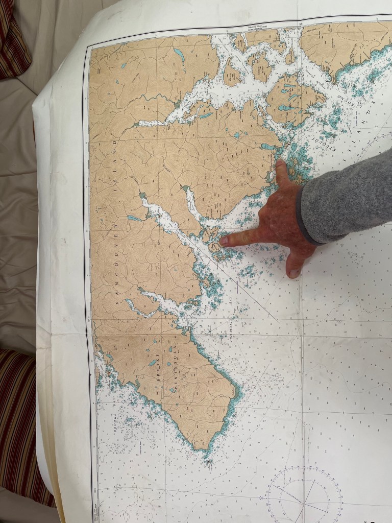
Browning Inlet to Winter Harbor: 50-30.7N 128-01.7W
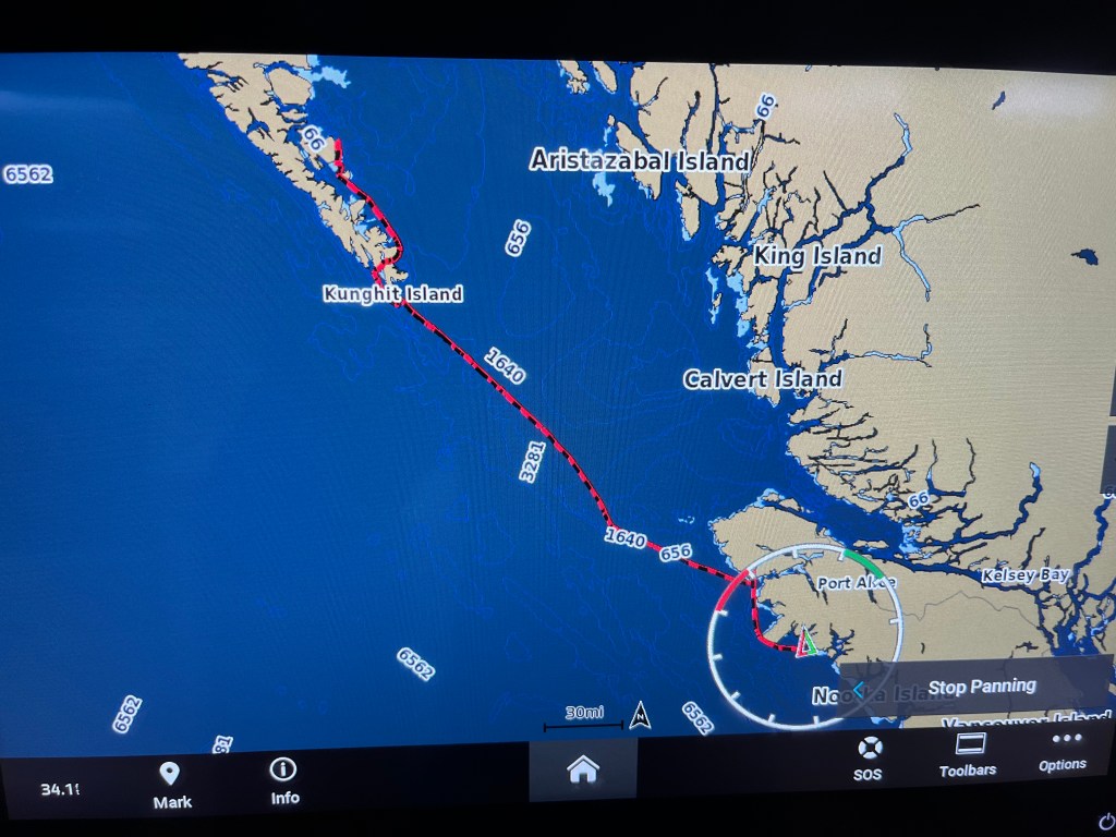
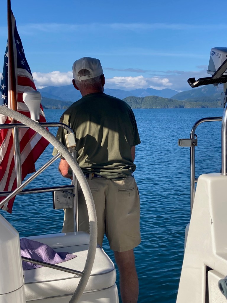
A short 30-minute trip at noon put us dockside at Winter Harbor Outpost at which we enjoyed paid-for the WiFi by which I sent my last posting. I realized a day late that I had a pretty cool track of our crossing on the new NavStation Garmin.
A Winter Harbor fishing guide taught me useful lessons in distinguishing Flounder from Halibut and taking fillets without first gutting the fish. He also pointed out the need to only cut at most seven pieces from the two fillets off a Halibut one of which had to contain the tail and pectoral fin from one side so that length could be determined. One is allowed two Halibut under 90cm and one over 90cm. Salmon processing must keep the tail. Good to know … now. And now to catch a Halibut….
Sunday evening, we learned, was a community fish fry to which all were welcomed. It was the lead cook, Joe’s, birthday to whom we all sang Happy Birthday. The charming store owners, husband and wife, hosted the event at their wharf overlooking Winter Harbor. All comers were represented, residents (of which there are only 6-8 in Winter Harbor), fishermen (most of whom were Ukrainian, sports fishermen, part-time residents (a couple from Alberta and their adult son), and travelers (us.) What a friendly, fascinating mix of generous people.
And we didn’t take a single picture during our visit to Winter Harbor. A sad first.
Monday, 12 August
Winter Harbor to Middle Bunsby Island: 50-06.2N 127-55.3W
Weather Gods were on our side heading out of Winter Harbor to the Brooks Peninsula with Cape Cook and Solander Island at and off its western tip. With a 6am start, we passed Cape Parkins lighthouse at 0646 and motor-sailed between Cape Cook and Solander at 1000 paralleling long-period southwesterly swell. Tufted Puffins, Leach’s Storm Petrels, and sandpipers of some sort were prevalent along with gulls.
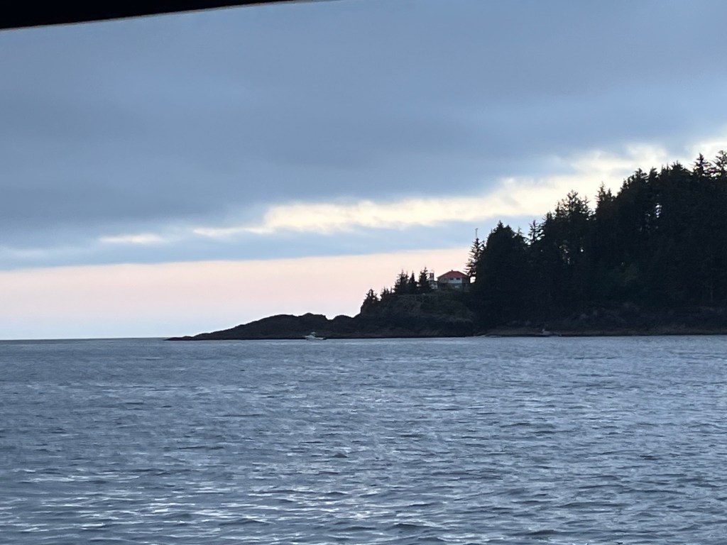
Cape Parkins lighthouse in the dawn
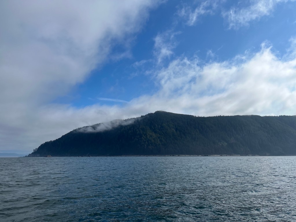
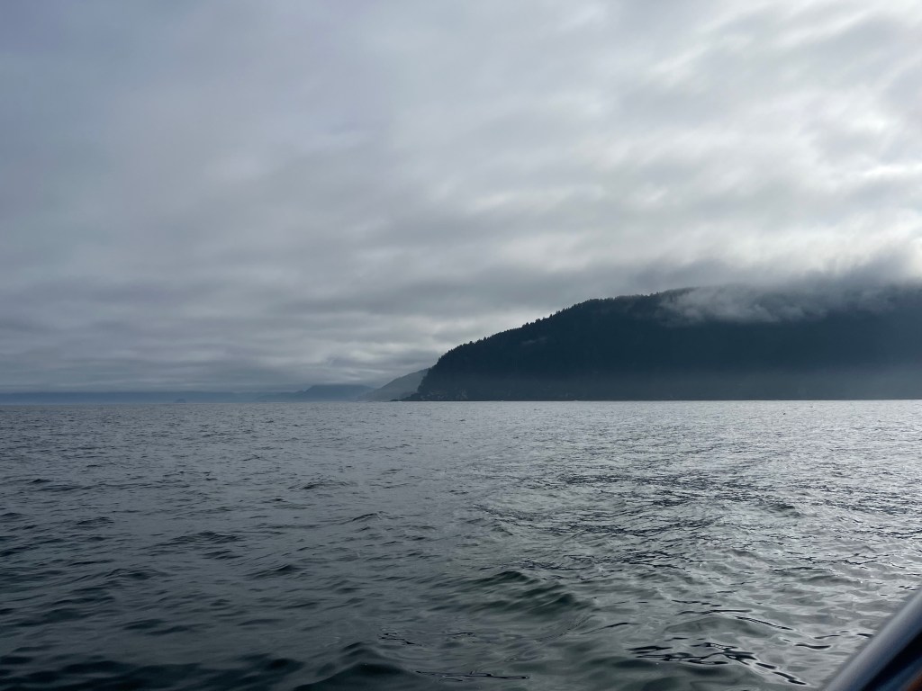
Brooks Peninsula (left); Cape Cook (right)

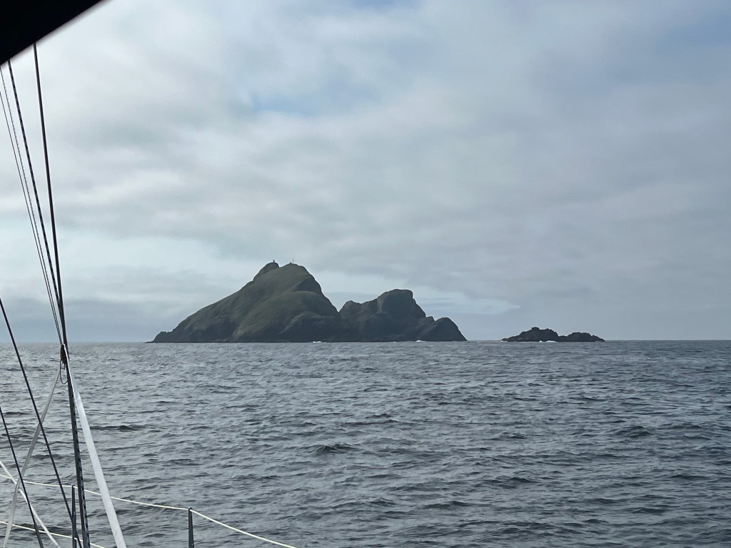
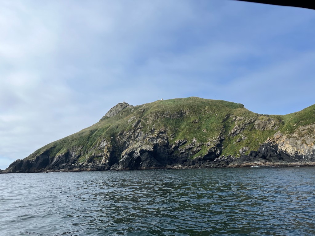
Different perspectives on Solander Island: (middle – approach; left – between Cape Cook and the island; right – passing in calm seas and sunshine!
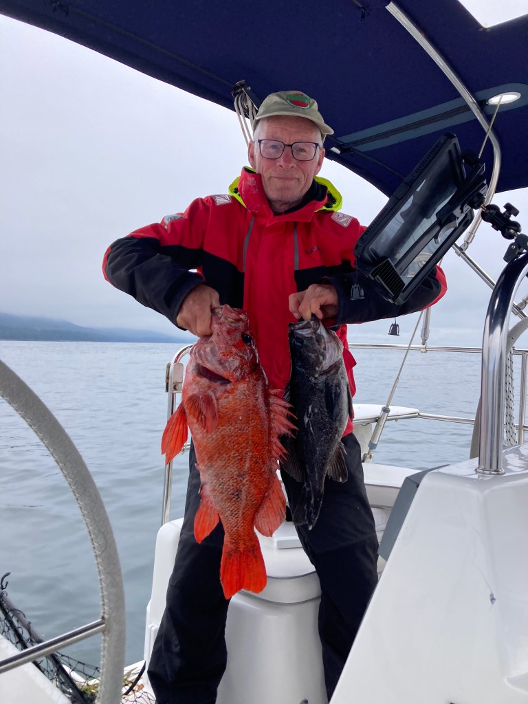
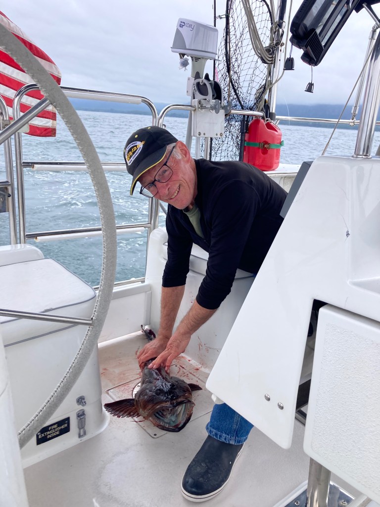
Using the sonar-layer on my chart plotter, I noticed some submerged high points in otherwise deeper water south of Clerke Point – the opposite corner of Brooks Peninsula. Having learned that these were the kind of places at which to catch fish, I first trolled, motoring slowly, then jigged with the motor off. On the first cast, with lure not even out of sight, a Black Rockfish hit my lure. And I missed it only to have it strike a second time – its last! With one fish aboard, I lowered my lure to the bottom as we drifted bare pole southeast at less than a knot. Less than ten minutes later, I hooked a much bigger fish, a handsome Red Snapper or perhaps Canary Rockfish. Engine on, I proceeded to fillet and skin both fish, vacuum-packed the Snapper, refrigerated the Rockfish for dinner, and cleaned up the after cockpit having made less of a mess than ever before. I didn’t gut these fish which was the trick I’d learned watching a fishing guide at Winter Harbor.
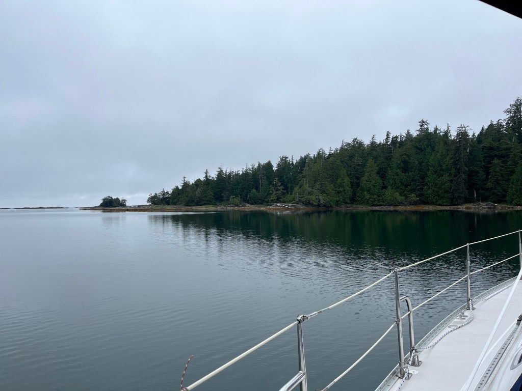
Middle Bunsby Island (below) afforded us a protected anchorage surrounded by oodles of rocks and islets. We saw three kayakers who were camping on one of the islets paddling around that islet.
Tuesday, 13 August
Middle Bunsby Island to Walters Cove in Kyuquot Sound (pronounced Kee-YOO-kit): 50-01.6N 127-22.5W
It was fun to again make use of paper charts Dean Dale had given me for the west side of Vancouver Island. Though smaller scale, these charts afford MUCH easier route planning than digital means.
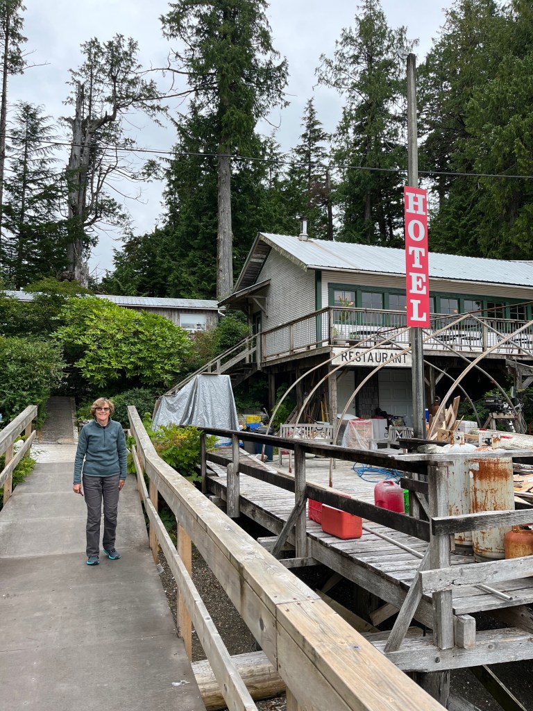
Ah the lure of free WiFi … only to learn that Java the Hutt coffee shop, a short 0.5km walk from the government dock to which we moored on a well-worn foot path) is now only open Tuesday (thank God) through Saturday, 4:30-8:00pm. Dang it. Typing this aboard Encore.
The barrier islands along the coast of Vancouver are far more scattered and generally less wooded than those on Chichagof or Baranof Islands making navigation easier but non-trivial. We’ve observed them so far only under gray, humid skies that shroud the tops of adjoining coastal hills. Perhaps they’re mountains.
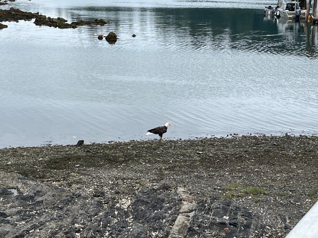
In search of an ATM, we assembled Bravo and pressed her into service with motor to check out “town” across from the dock … and came across a Bald Eagle feasting on a what was left of a halibut carcass. We figured the post office at the head of the government dock might have an ATM, but office hours are a leisurely M, W, F … 1330-1630!
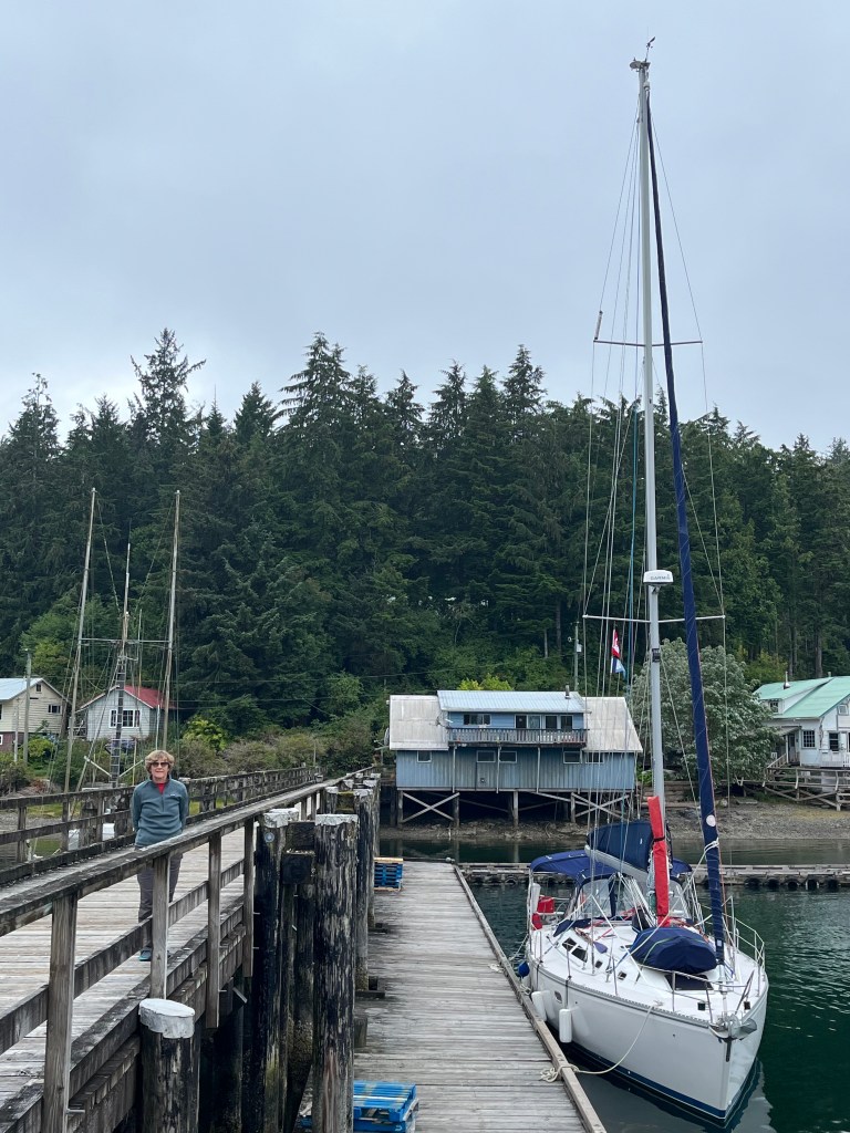
After finding no ATM in town, we motored across to Eric’s Java (below) to confirm he’d be okay with a check (he was) and then returned to Encore.
We walked a similar 0.5km in the opposite direction to explore a “stack” akin to Eddystone Rock and “Eddystone 2” (Hobart Bay) that we’d seen from town and came across a number of Mountain Ash trees loaded with berries. One of them was growing out of a seemingly bare rock.
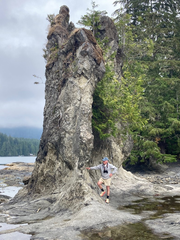


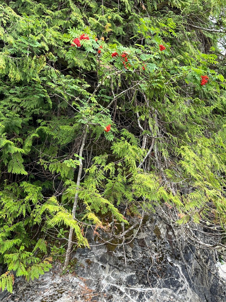

Lots of Mountain Ashes … which apparently can grow from a bare rock!
Wednesday, 14 August
Walters Cove to Dixie Cove (50-03.2N 127-12.1W) and Rugged Point (49-58.2N 127-14.9W)
Leaving Walters Cove by a route different from the way in presented an unexpectedly elevated pucker factor. Planning for a blind turn to port at one point, we had the addition surprise of two sports fishing boats zipping around the corner right at us at close range.
Dixie Cove has both an outer and inner part, and we chose to drop the hook in the inner cove just for a few hours for lunch and then paddled around both. Upon noisily dropping the anchor, we notice scarcely a hundred yards from Encore a sacked out Sea Otter and watched it with binoculars for quite a while before it woke up, no doubt hungry again.

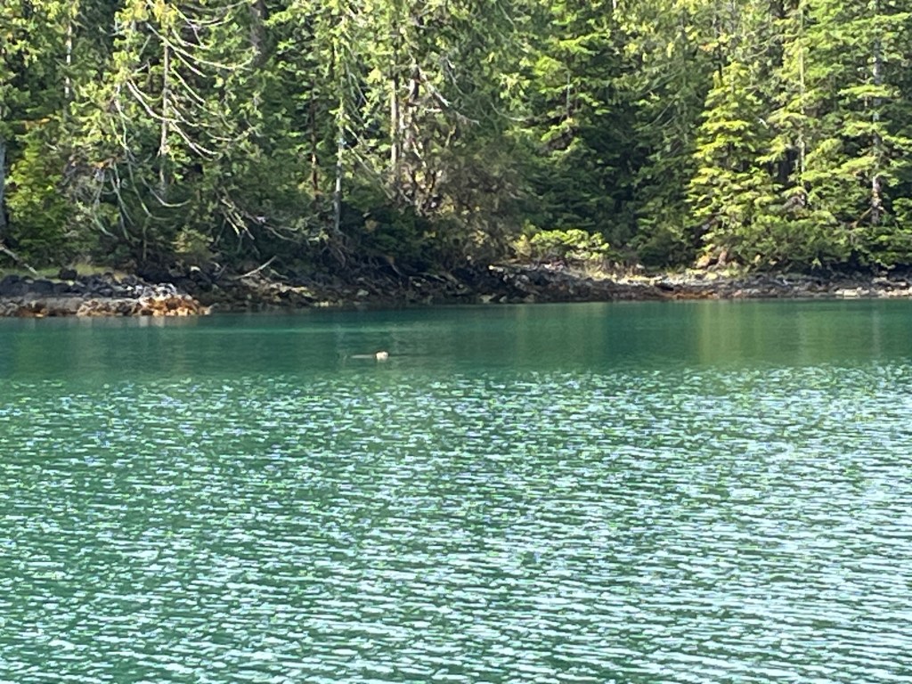
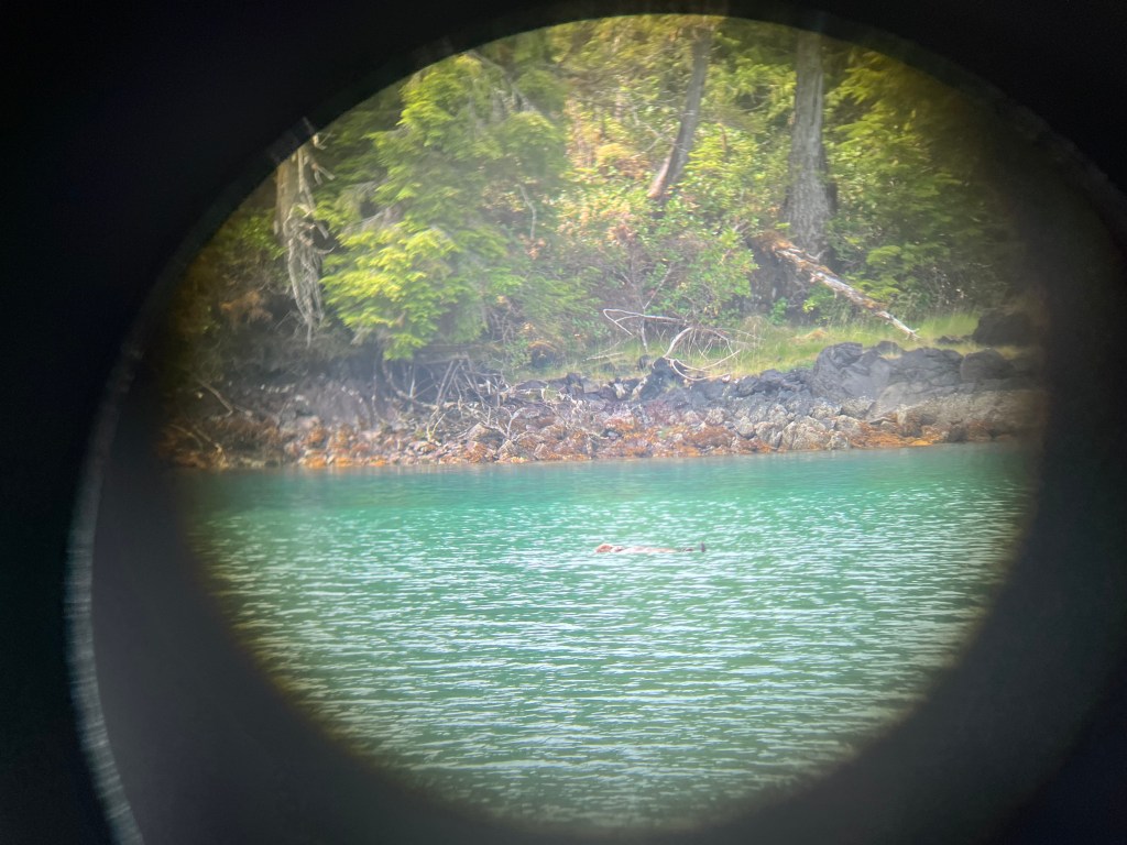
For want of a bigger lens!! Binoculars just don’t cut it.

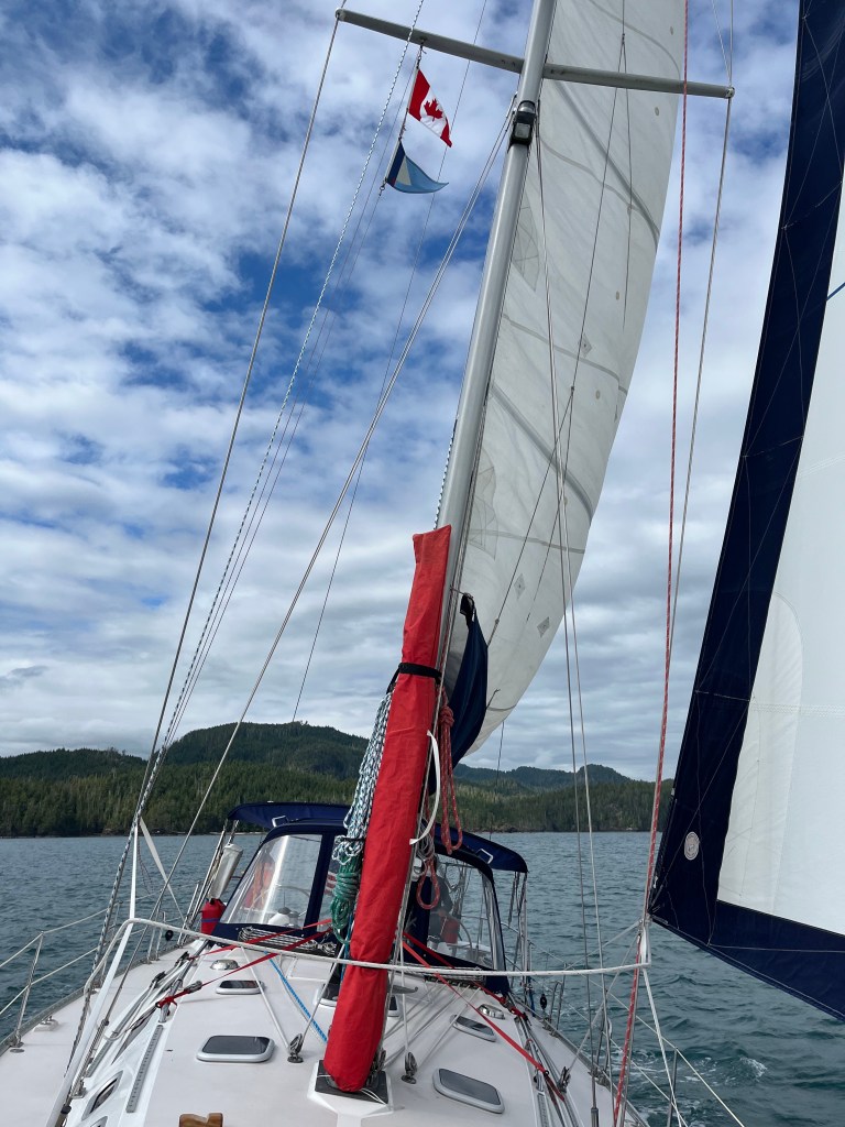
A rare pleasure, we sailed most of the eight miles to Rugged Point.
Taking Bravo ashore, we walked across Rugged Point via a Marine Park boardwalk to its incredible beach facing the ocean and saw many small, busily feeding [—— SANDPIPERS] Sandpipers.


Walking back to the north beach, I reflected on the marvelously endless recycling within our natural world: fauna, flora, geology, and hydrology. Pretty amazing. Pretty taken for granted.
The lowering sun afforded a nice 360 video. (video)
Thursday, 15 August
Rugged Point to Nuchalitz Marine Park (49-48.5N 126-57.7W)
Between Gregoire Point and McQuarrie Islets during our short transit between Rugged Point and Nuchalitz Marine Park I landed a Black Rockfish with the yellow guppy and a much bigger fish with a big head and big teeth using the Coho Killer: A Cabezon. At long last, having sorted out field dressing mess-control, I carved out and skinned four respectable fillets whilst standing up for the first time at the kitchen counter opposed to hunched over on the bow or between the lazaret drop-ins aft or in bouncing Bravo.
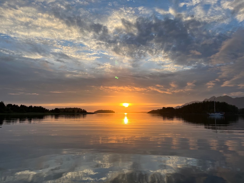
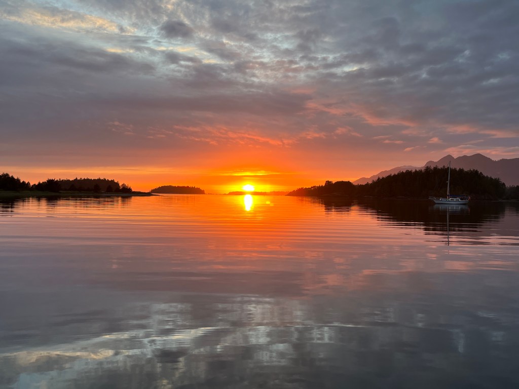
The 38’ Wayfinder, San Francisco, followed us in to the marine park not long after we arrived having motored around Estevan Point from the south. Retired electrical engineer Peter is single-handing his maiden voyage of Wayward, a new steel cutter-rigged sloop that he finished building at the boat-building coop in Port Townsend. Its salon is bigger and more functional than Encore’s, though it has no aft berth, with lots of head room. Lithium batteries power an induction stove among many other things. Pretty tricked-out boat! He wasn’t sure of his plans heading clockwise around Vancouver but recognized Alaska wasn’t within reach this fall. We talked about our trip and gave him a number of great spots to aim for if he chooses to go for Prince Rupert. Nice chap. He served us tea in a fast-boil electric teapot.
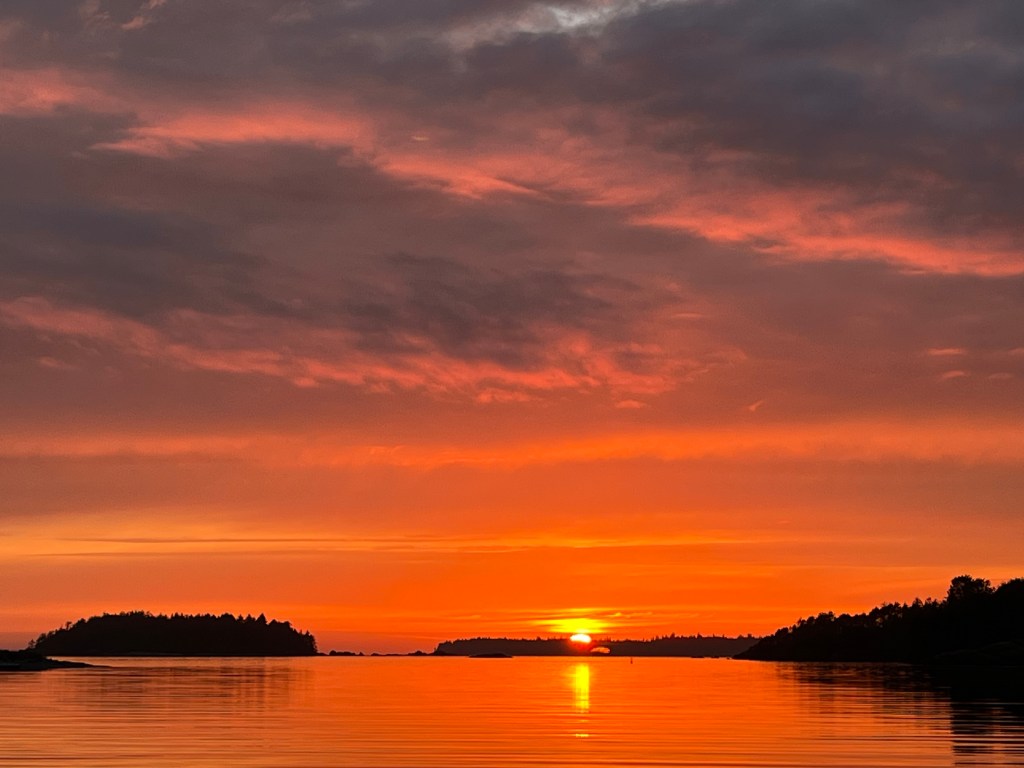
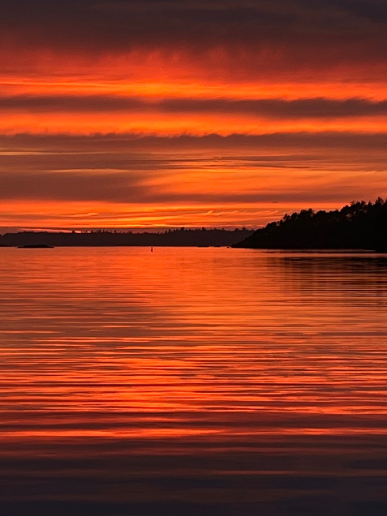
We watched our most beautiful sunset this trip. Too many pictures taken!
Friday, 16 August
Nuchalitz MP to Tahsis: (49-55.0N 126-39.8W)
In search of an ATM, we shifted our sights today to the village of Tahsis, an old logging town that has sadly collapsed with that industry. Waggoner’s Guide says that the Westview Marina in Tahsis is helping keep the place afloat. Having moored there – tres chere – we will agree.
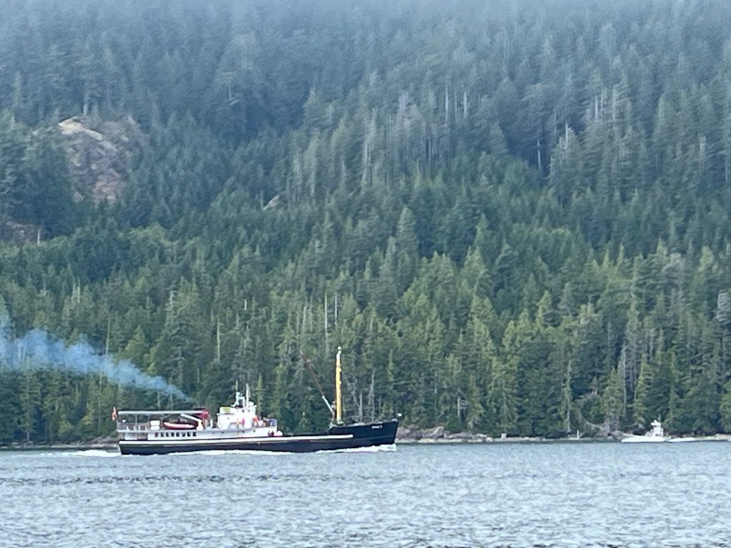
We had the fortune of being passed by Uchuck II, Vancouver BC, a provisioning vessel for numerous small communities up and down the west coast of Vancouver … like Walters Cove, Tahsis (where we are spending the night), etc. For the discerning eye, there’s a similar but much smaller provisioning boat that’s like a Navy Mike Boat in the distance south-bound. The Uchuck II and cousin Uchuck III also deliver and retrieve kayakers along the coast!

I’ve only had Cameron once and I found it delicious. I bet the rockfish were amazing! Wonderful pics as always guys. See you soon.
Redge
LikeLike
Love the blog!! I’ve been following your travels all summer… vicarious adventure for sure. Glad to see summer looks to be creeping up northward for you… and that your fishing prowess is increasing. What an adventure. How will you ever return to “normal” life on BI after such a trip? Hello to Jane!!!
LikeLike