Exhaustion and lateness of the hour motivated me to draw a line at 20 July on my last posting on Sunday, 28 July. Monday we departed Sitka for our first-ever passage. Read on for details about that epic adventure! But first, 21-28 July…:
Sunday 21 July
Blue Mouse Cove to Bartlett Cove: 58-27.5N 135-53.2W
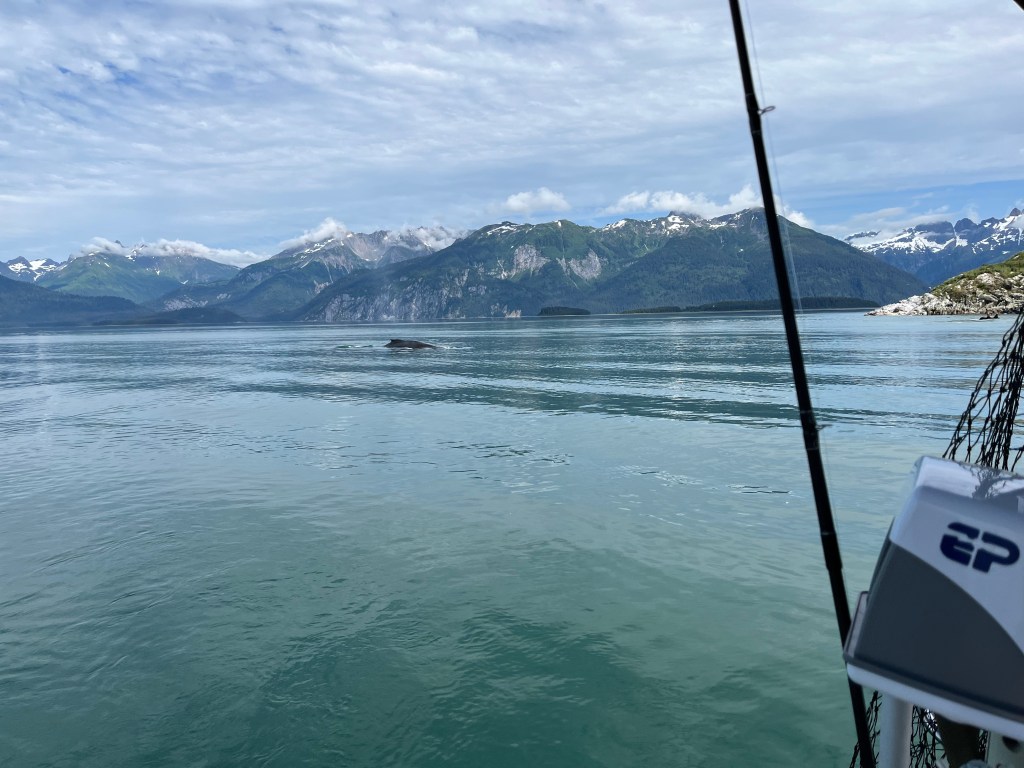
Harbor Porpoises circle Encore three times in early dawn, and Humpback Whales visited.
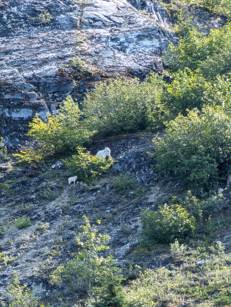
We revisited Gloomy Knob in search of Mountain Goats and spotted eight!
Motoring south, we passed North and South Marble Islands finding Tufted and Horned Puffins, Humpback Whales, and fragrant Stellar’s Sea Lions again on the south island.
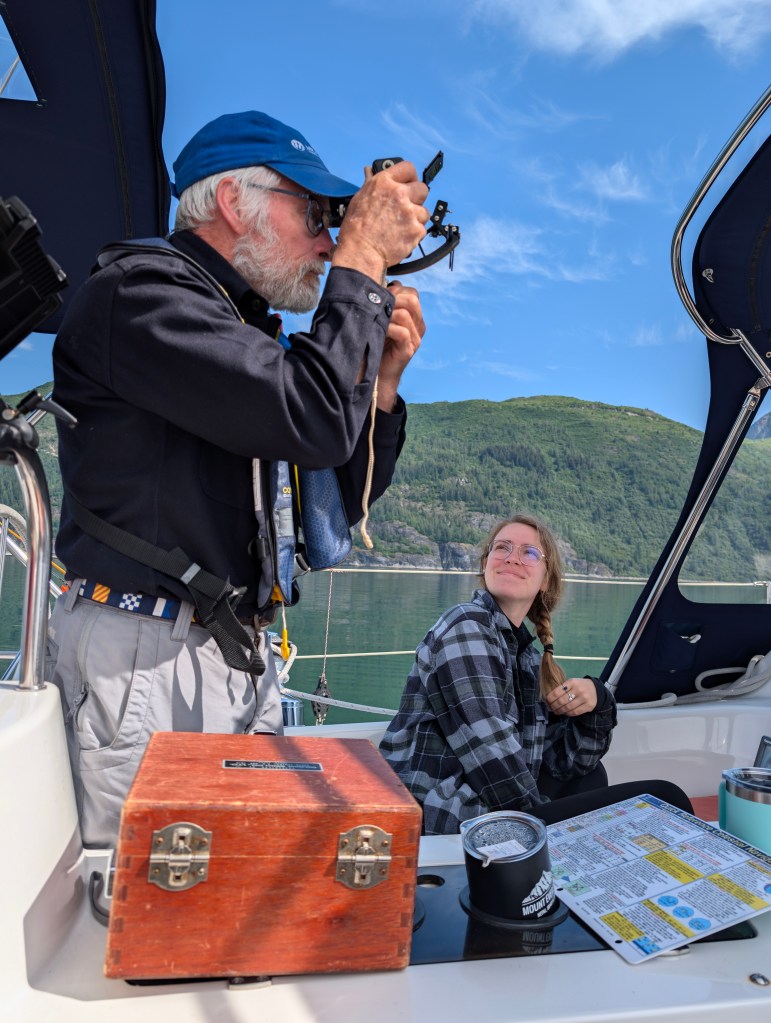
Smooth water afforded excellent opportunity for me to exercise very long-dormant skill using a sextant (Thank you Penn State classmate and Triangle Fraternity brother Captain Edward Zurey!) and the chance for Robin and Sophie to try it out.
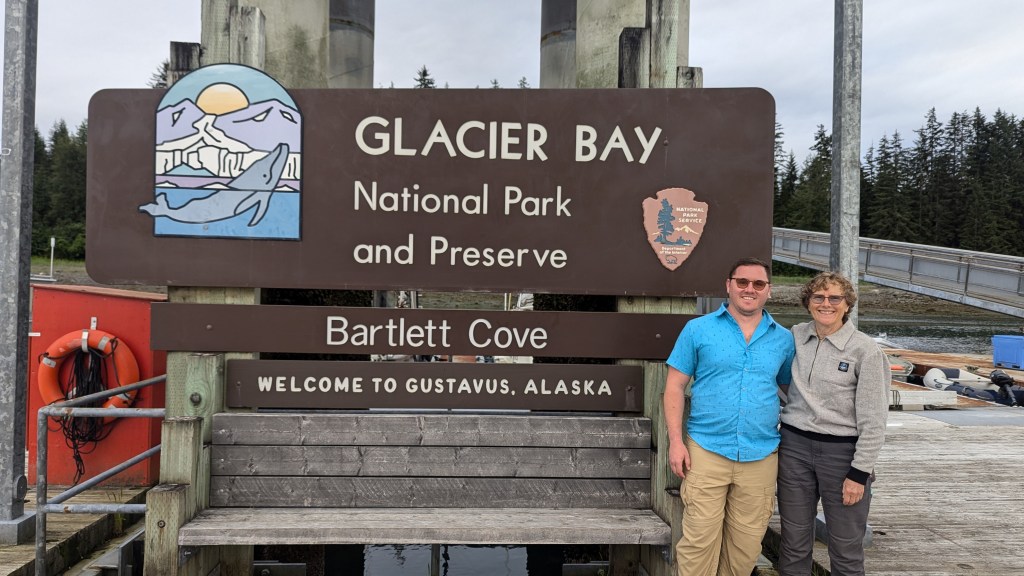
We are sad to leave Glacier Bay National Park behind, a southwest wind permitted entry into Bartlett Cove under sail where we fueled and pumped out.
Monday 22 July
Bartlett Cove to Green Top Harbor: 57-52.2N 136-26.9W
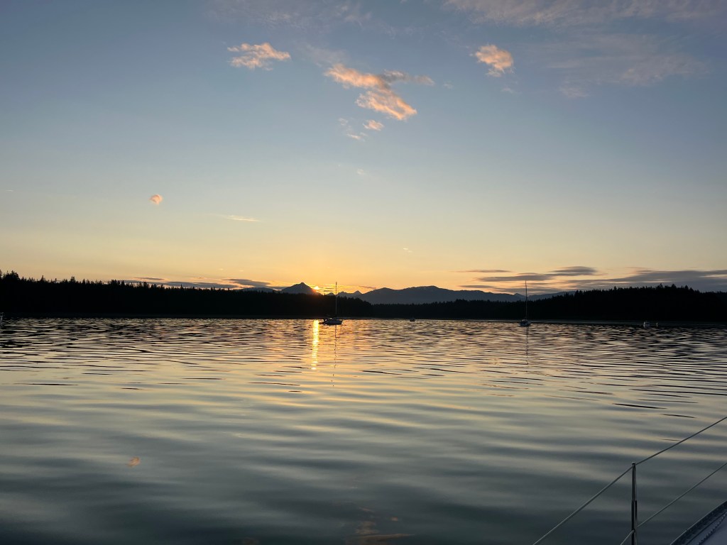
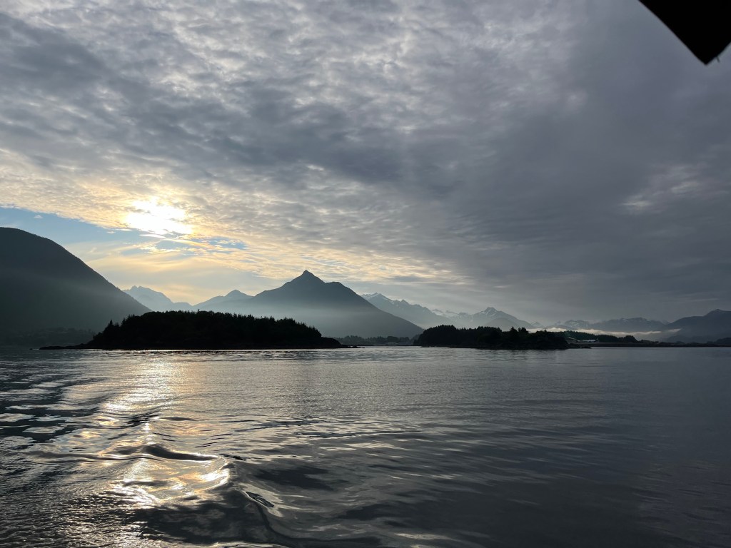
After observing a perfect sunrise, we sped from Glacier Bay National Park on a huge ebb, and passed south around Lemesurier Island into to South Inian Pass where we encountered waters more turbulent than Deception Pass under flood conditions that clawed progress down to a knot and da half at times for over an hour. Orcas seemed to enjoy it.
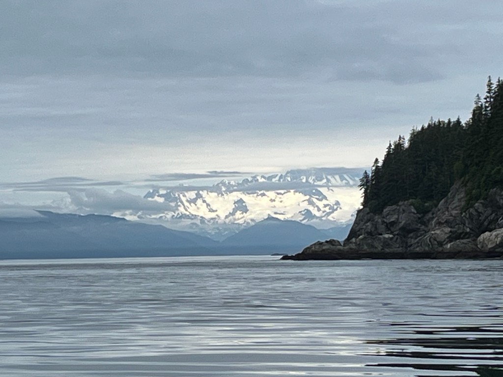
Big majestic mountains of the Fairweather range and the mighty Brady Glacier loomed among clouds to north as we approached Cape Spencer.
This afternoon presented us the first of two very tricky approaches to secluded anchorages through rock-strewn channels, and it was flawlessly executed at the approach of lower high tide with the boys at bow watch, Jane watching the chart plotter, and Sophie watching and reporting depth.
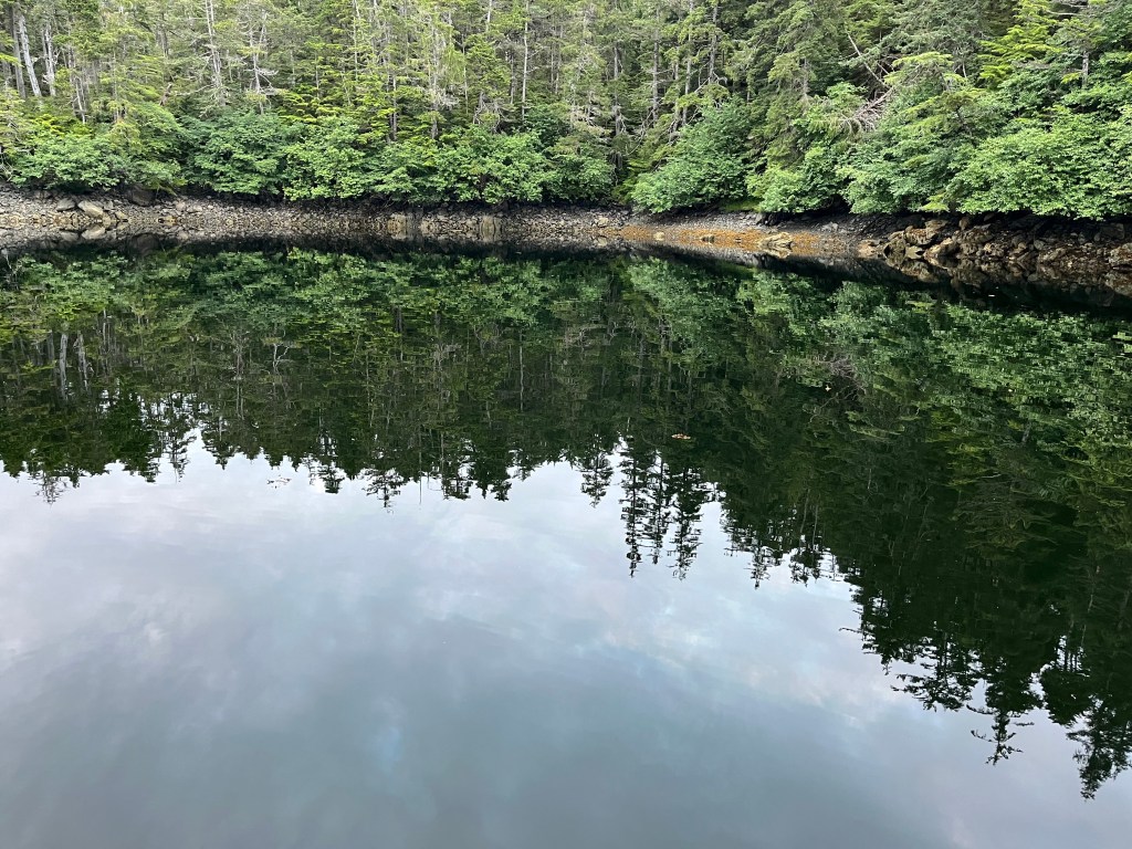

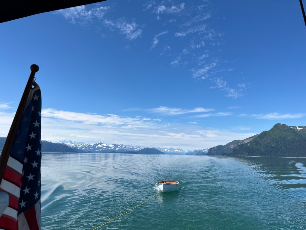
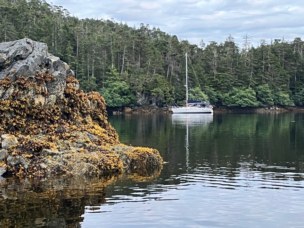
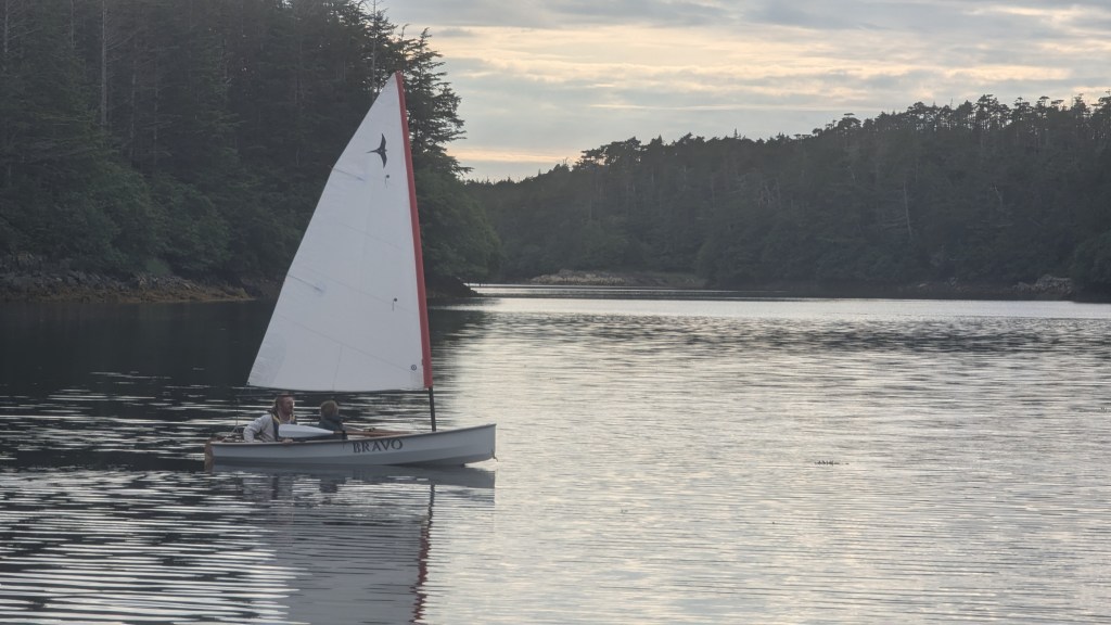
We launched Bravo after anchoring to row around the secluded inlet as evening arrived…
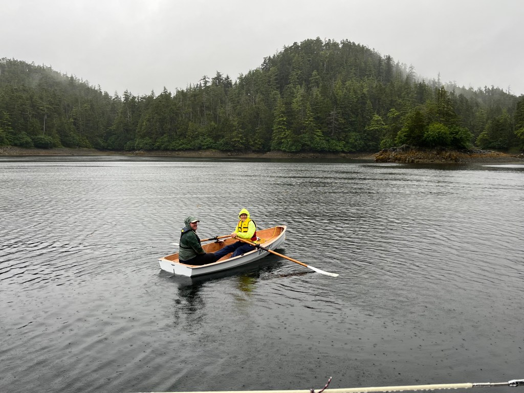
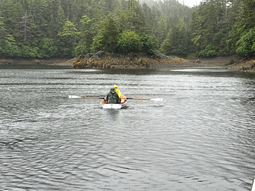
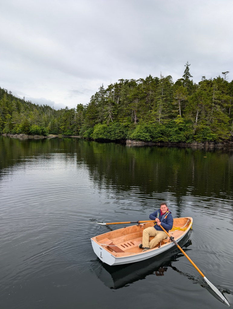
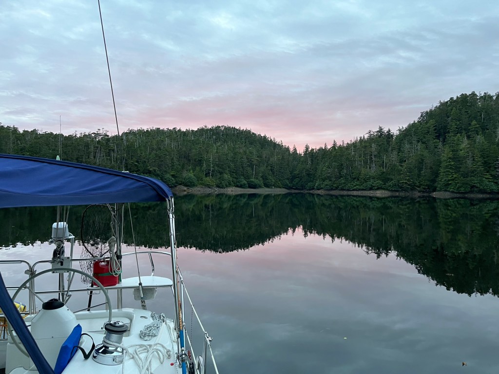
… and brought her aboard the next morning after a couple more spins during the morning -2’ tide.
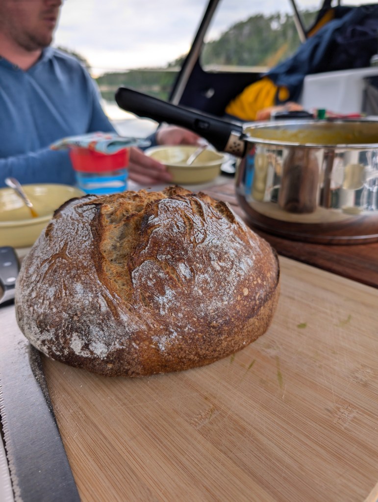
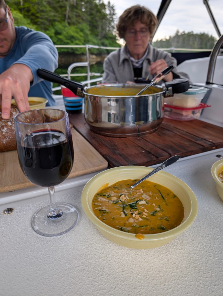
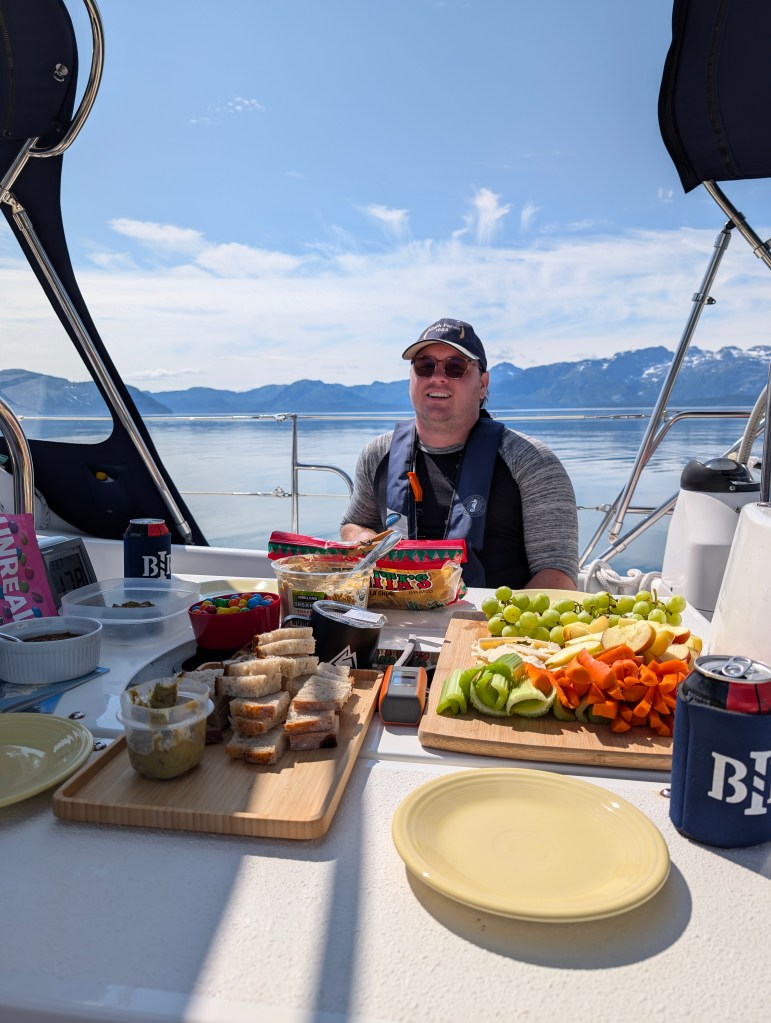
We ate like kings and queens!
Tuesday 23 July
Green Top Harbor to West Arm: 57-47.8N 136-20.1W
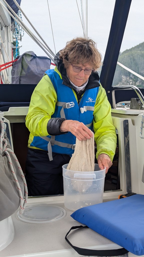
We dined on homemade cinnamon rolls this morning, before realizing what lay ahead!

Feeling our way out of Greentop Harbor at the approach of Tuesday’s lower high tide, we launched into the roughest sailing day ever for any of us. 22-25kt winds that had developed state 3+ seas overnight that were on the bean with 2m waves and occasional steep 4m rollers. We motor-sailed scarcely two hours across Lisianski Channel with a small triangle of jib out. Driving rain on the starboard quarter made me thankful for having switched from glasses to contact lenses this morning. Between rain and very foggy conditions, finding the channel into West Arm was nerve-wrackingly possible only with the aid of GPS and a chart plotter that Jane had to wipe off every minute or few.
Thankfully the exhausting trip that had us all soaked was short. Immensely relieved by reaching flat conditions between Kinky and Fleming Islands, my nerves began tingling upon seeing several uncharted ISLANDS (vs singleton shallow points), let alone differences between two Navionics chart renditions of West Arm and also the Douglass and Douglass sketch. Thankfully, I had timed our arrival to be just past the lower high tide. We crept over shallow ridges between charted rocks and managed to avoid bottoming at the point we reached the head of the bay in a scant seven feet.
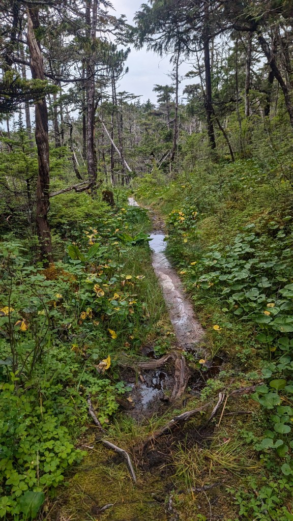
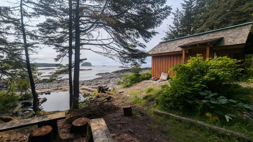
Completely drenched, we launched Bravo for a very short trip ashore to the trailhead to White Sulphur Springs hot springs. Advertised as a fifteen minute walk along a “boardwalk,” Jane, Andrew, and I seriously discussed turning back for fear we had missed a turn somewhere at thirty minutes. Andrew thankfully suggested pushing on. The rustic boardwalk was generally sturdy, but in many places moss was encroaching on both sides of 2”x16” planks. Many planks were submerged in water even to the point of serving as stream beds given such rainy conditions.
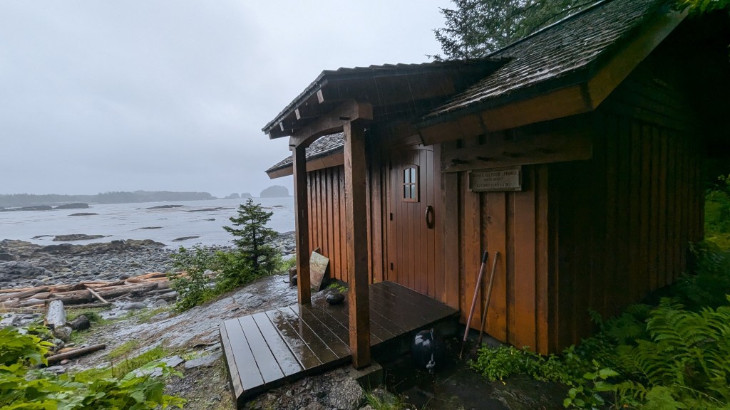
Spotting a large solid structure through the trees brought huge sighs of relief all around, and shortly we stepped into a fortress of a bathhouse reconstructed just eleven years earlier to behold a large, enclosed pool the size of a small living room overlooking the bay through two retracted windowed heavy barn doors. The floor of the chest-deep pool took advantage of a broad notch in an immense boulder, walled off at the sea-side end, the crotch of which had been filled with concrete over roughly 25 square feet.
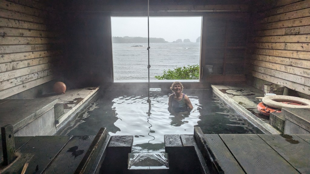
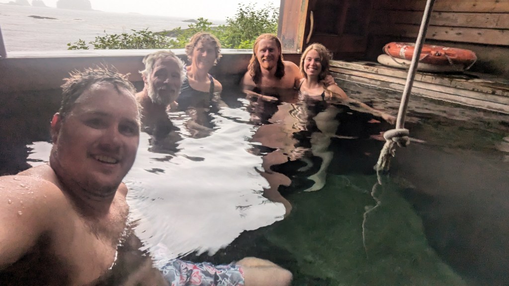
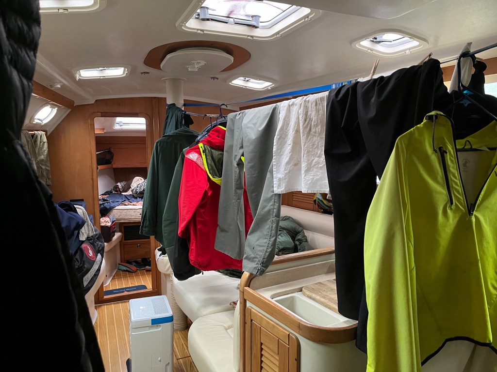
I trudged back to Bravo to fetch Robin and Sophie, an hour after setting off the first time, and assured them White Sulphur Springs was worth the hike. The five of us enjoyed the hot spring, which had to be close to 105F, for close to an hour before returning to Encore around 8pm. Seeing depth at 0 feet, the suggestion was made and accepted that we relocate Encore to the middle bay in, at that point, 11 feet of water. I began running the dehumidifier on Honda generator power.
Relocated position: 57-47.7N 136-19.8W
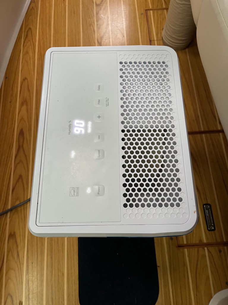
Note the humidity …
Wednesday 24 July
West Arm to Kalinin Inlet, Kruzof Island: 57-19.2N 135-47.2W
After breakfast in West Arm and just beyond a -1.2 foot tide on the flood, I shuttled the kids for a final visit to the hot springs as we continued, for over six hours, running the dehumidifier awaiting the next high tide on which to depart.

I then followed Andrew’s excellent suggestion to trace paths from anchorage to the West Arm channel inlet aboard Bravo using iPad Navionics with Bad Elf GPS by which we navigate Encore. Having done so clarified just what cartographers had had in mind with scanty markings of a few rocks here and there. The scouting trip raised hackles on my neck when I realized that our turn into West Arm, shy of Mirror Cove, carried Encore across an invisible saddle between two invisible pinnacles a boat-length apart. The saddle was now fully three feet out of the water. The trip back to sea at the mid-afternoon’s lower high tide approached was a breeze following such effective scouting.
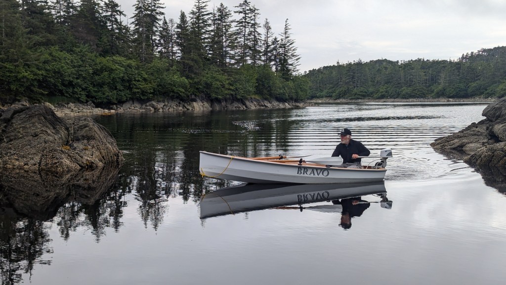
West Arm rocks were unkind to Bravo.
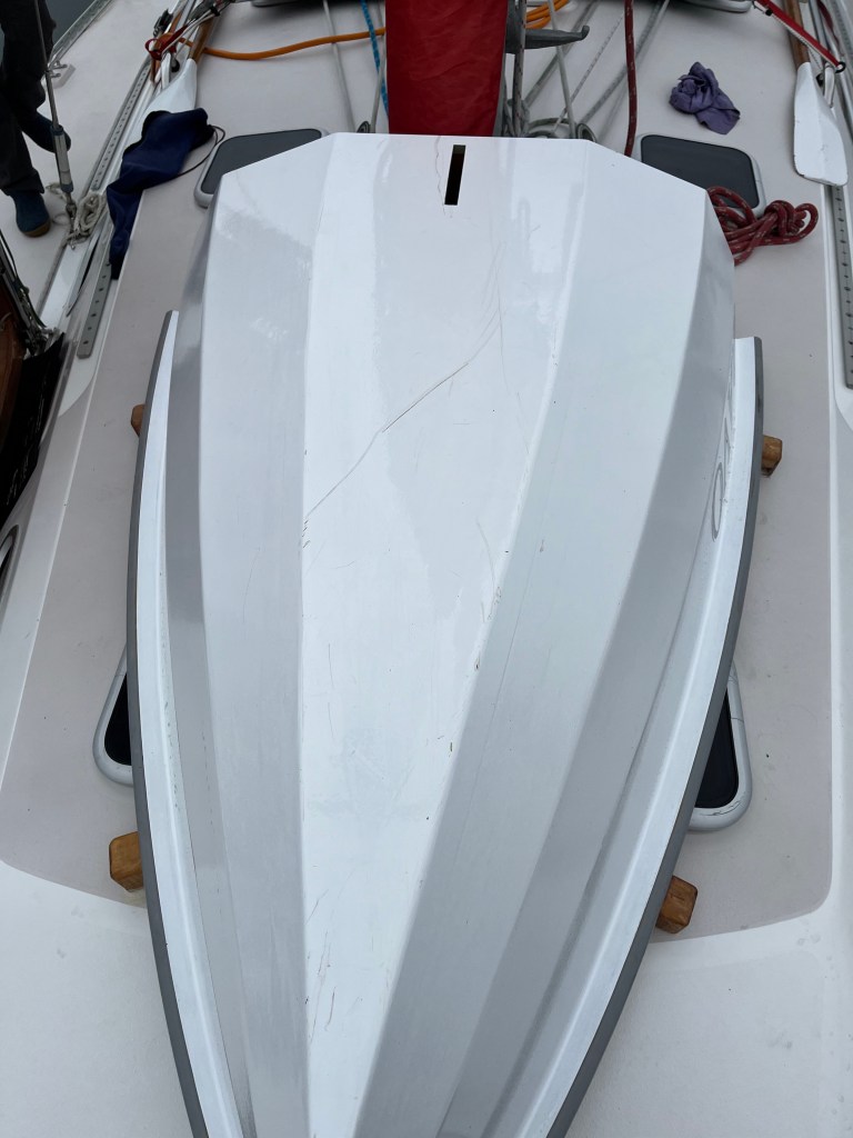
Bravo took some battle damage at the beach trailhead.
Lovely rolling seas persisted under higher clouds and light wind. Gentler seas were much appreciated by all!
A Black-footed Albatross zoomed past us at one point, vanishing briefly in 3m rollers, and wheeled around for a second look at us.
The sun made a welcomed appearance.
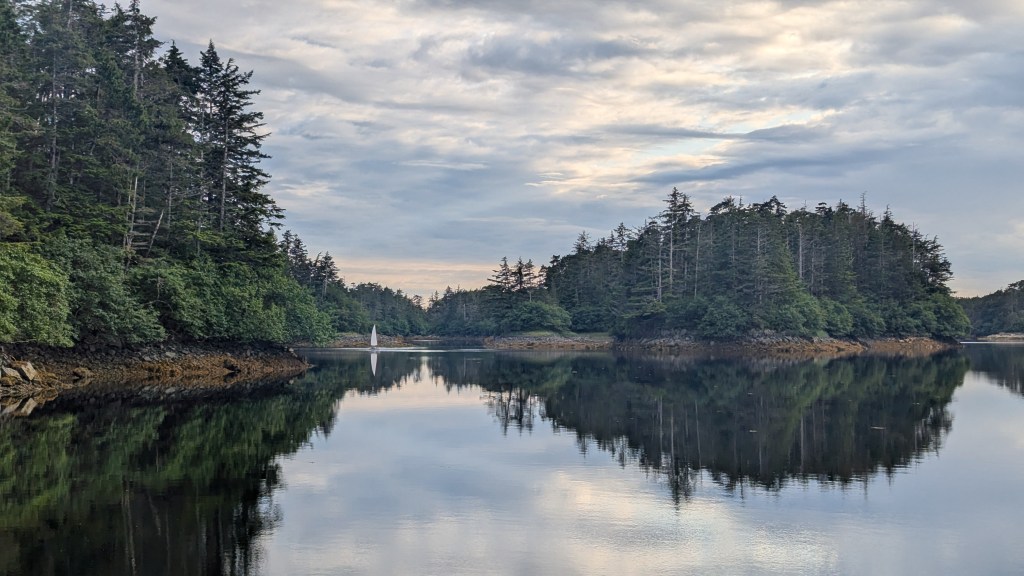
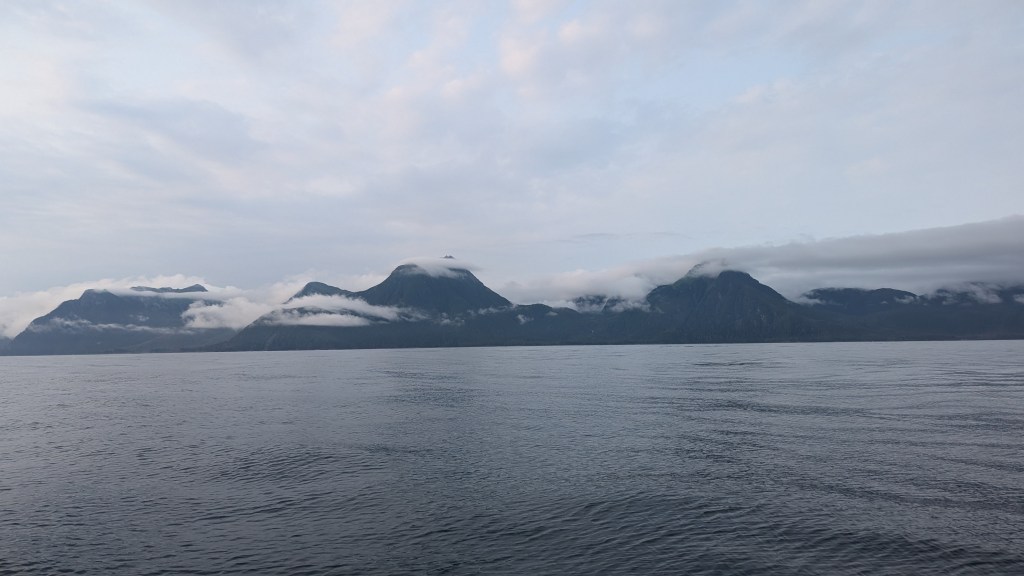
The verdant coastline resembled French Polynesia with tall, steep cloud-capped mountains.
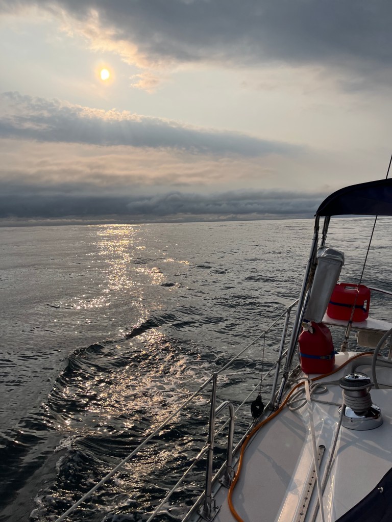
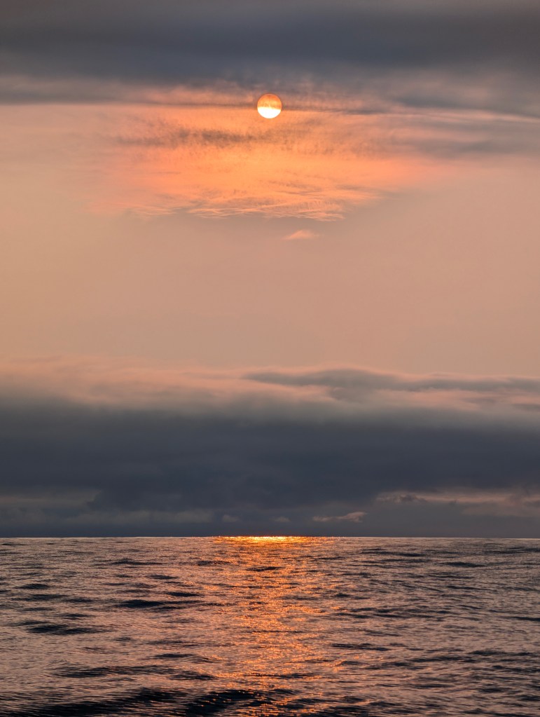
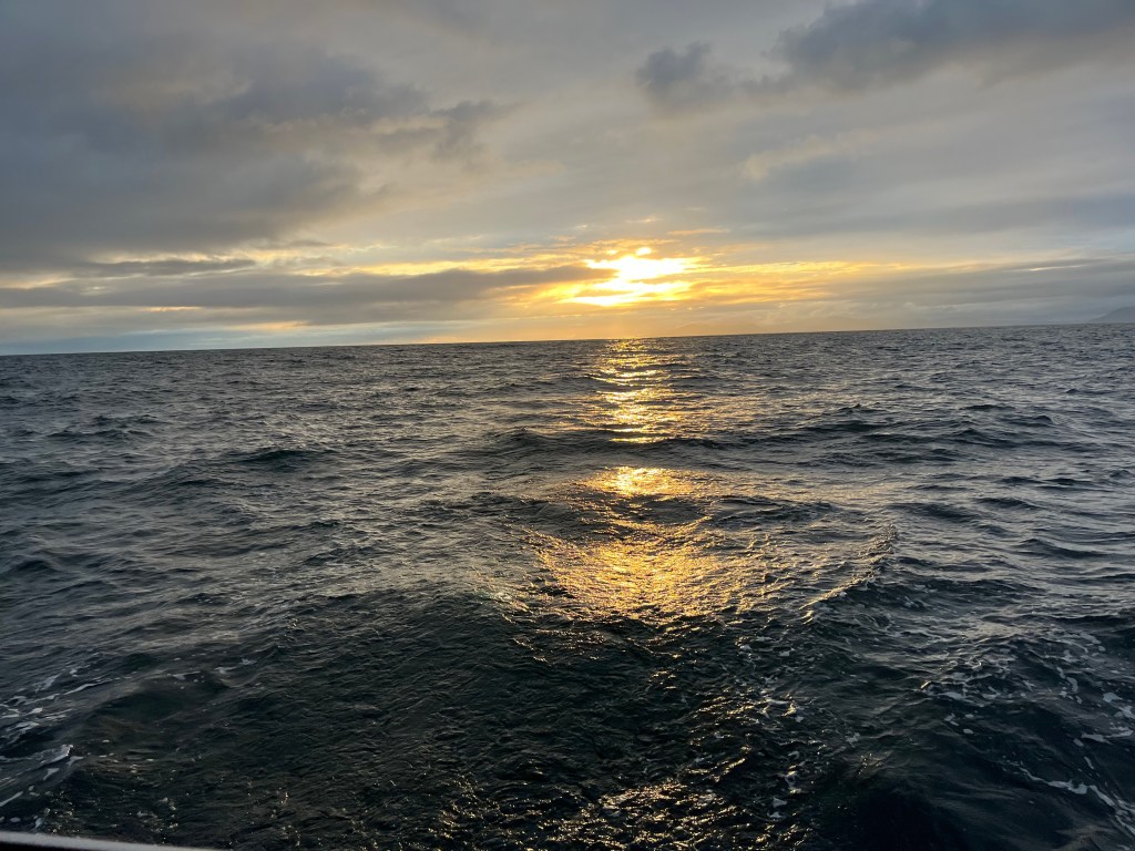
A unique upside-down sunset appeared behind us.
A Humpback Whale close aboard welcomed us into Kalinin Inlet on Kruzof Island, home of Mt Edgecumbe to the south, where we anchored at 2100.
Today was unique with not a single AIS contact and only three other boats, fishing boats, observed at sea.
Bird Notes: Western Flycatcher, Kingfisher, three Greater Yellowlegs, Black-footed Albatross (NEW BIRD!)
Thursday 25 July
Kalinin Inlet to Sitka: 135-03.6N 136-21.3W
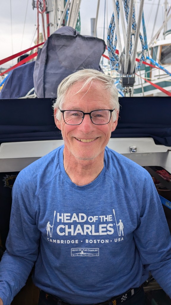
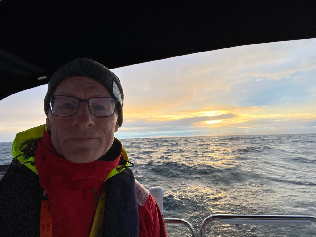
It was a mostly uneventful last leg to dockside moorage at Sitka highlighted by our circumnavigation of Chichagof Island, capping off having rounded Baranof Island on 1 July and Admiralty Island on 2 July. I celebrated by shaving the blanket off my face. Still need a haircut….
Bird Notes: Early up and on deck, I found it a pleasure to hear the first Varied Thrush in five days. A Kingfisher, Bald Eagle, and Ancient Murrelet also made appearances.
Friday 26 July – Sitka: 135-03.6N 136-21.3W
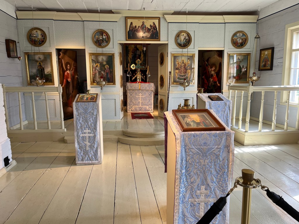
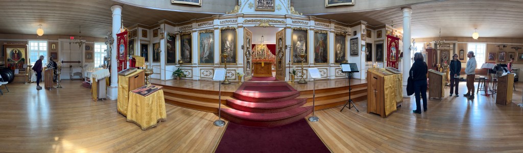
We spent a good part of today on foot exploring the intriguing town of Sitka – its historical buildings (Bishop’s House and St Michael’s Cathedral), museums, and waterfront parks.
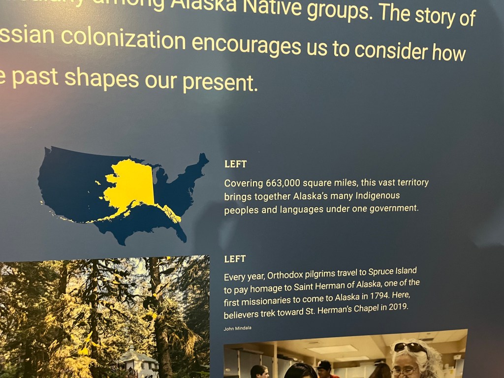
Note the size of Alaska relative to the rest of the U.S.
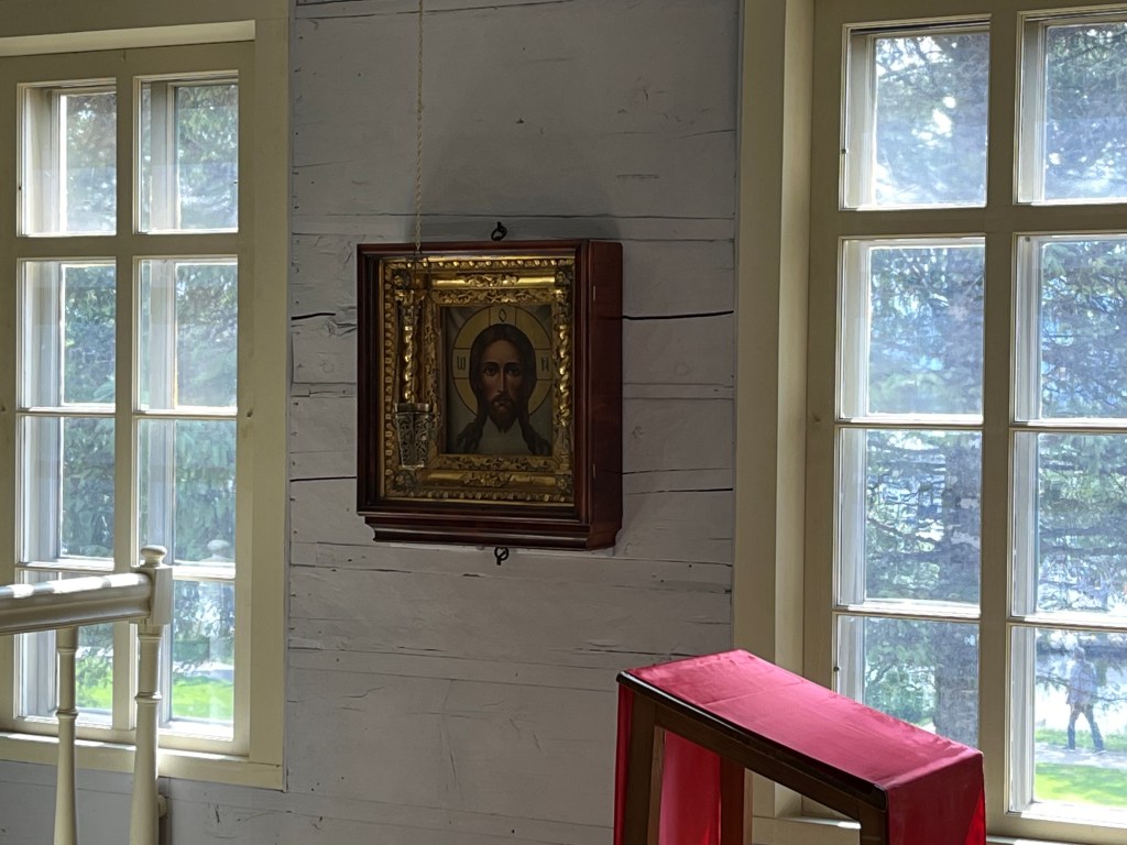
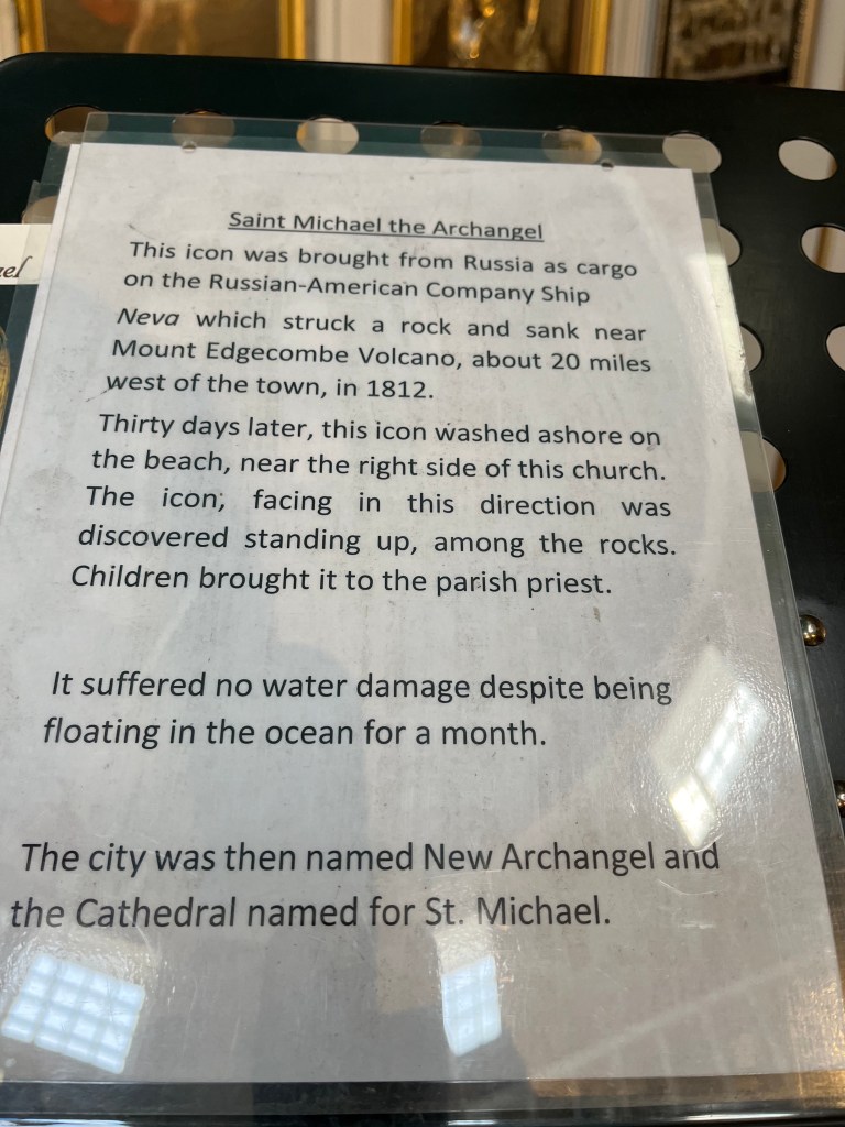
Imagine what discovering this icon must have been like for the populace…. All aboard the Neva were lost at sea.
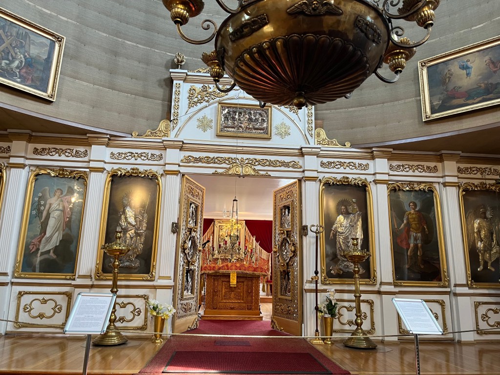
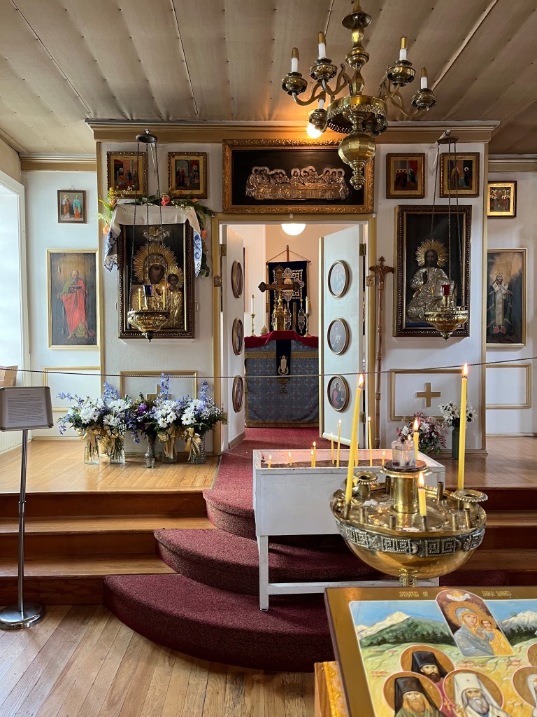
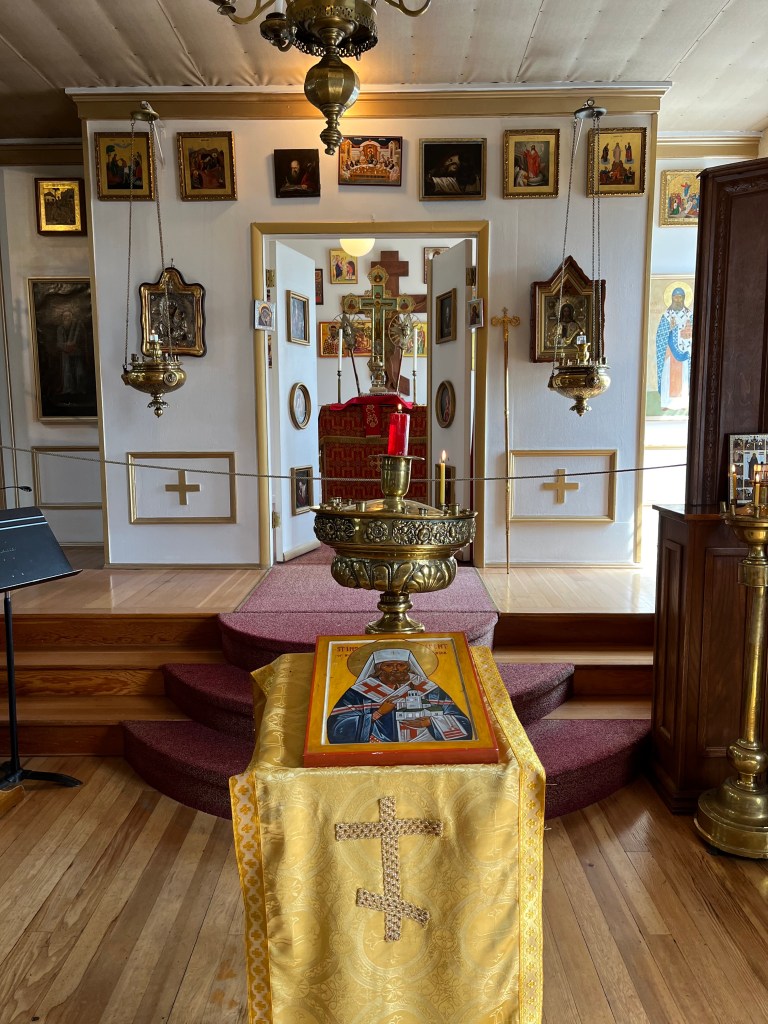
Central (left) sanctuary, adjoining sanctuaries (left, center and right, right-most)
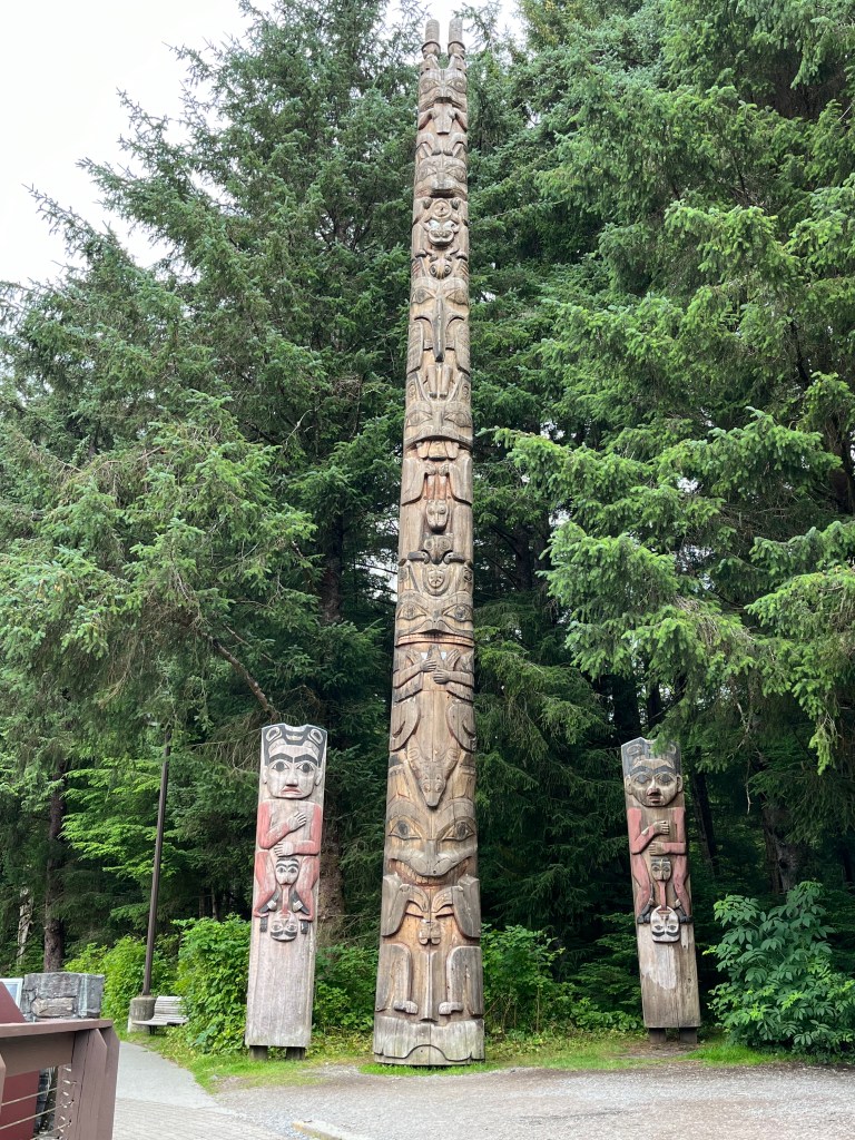
The museum video provided an intriguing introductory perspective: From a modern-day fisherman dying his trade from Sitka, “this is my home.” From a modern-day Russian woman working in Sitka, “this is my home.” From a modern-day Tlingit living in Sitka, “this is my home.”
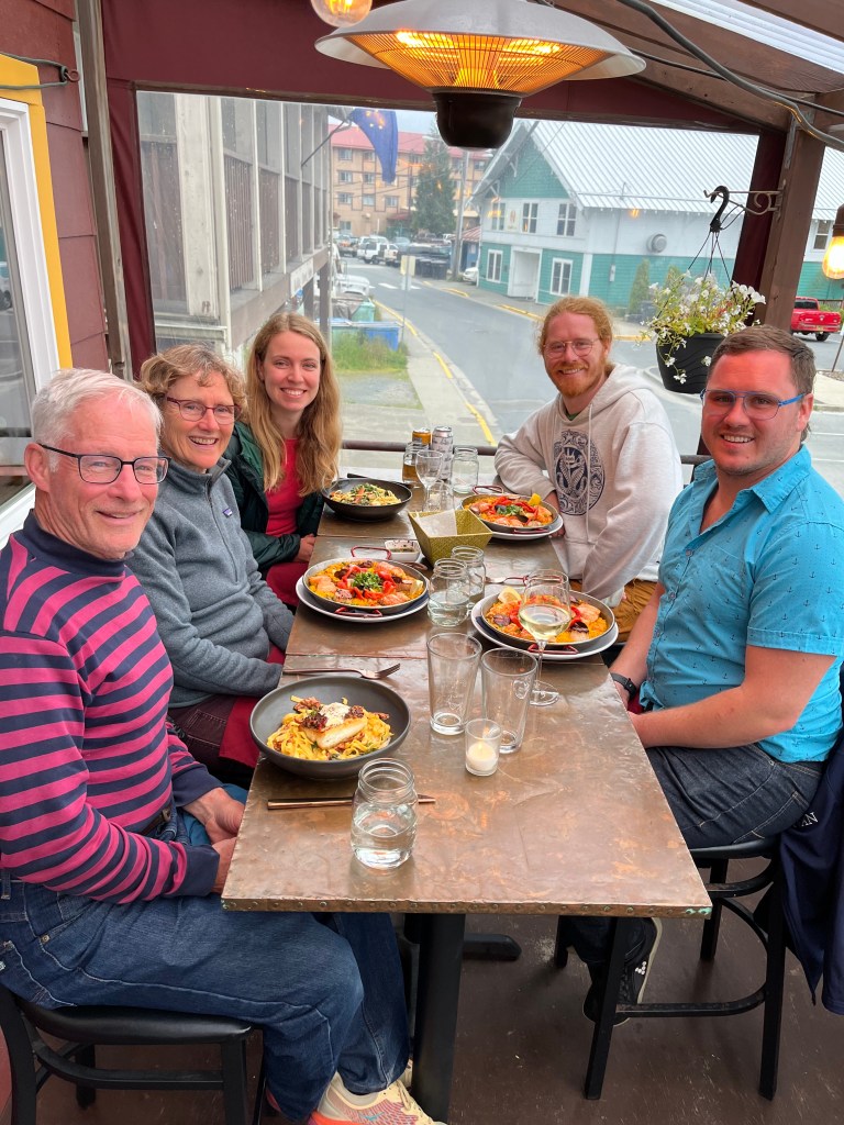
Dinner at Ludwigs Bistro, Sitka.
Saturday 27 July – Sitka: 135-03.6N 136-21.3W
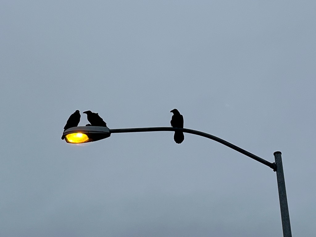
Despite their forlorn appearance on a very wet early morning, these Ravens are among oodles suggesting that Sitka is the Raven capitol of the world. Perhaps this is a connection to the Tlingit world. Sitka is also the runner-up Bald Eagle capitol of the world (second to Auke Bay).
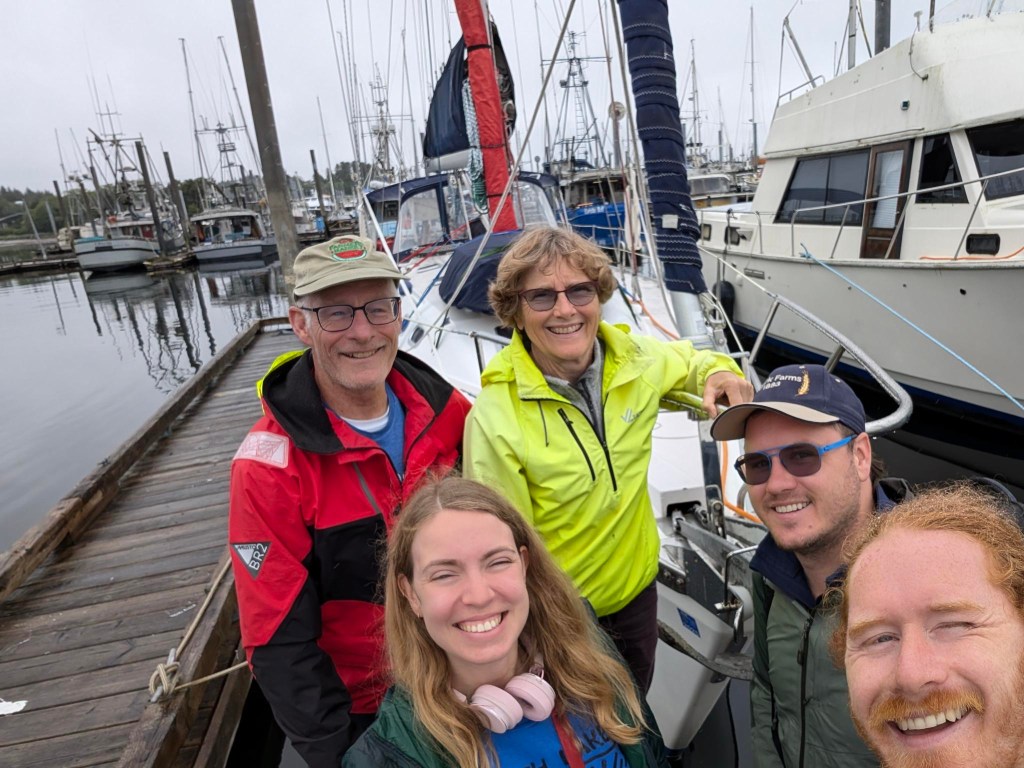
Today Andrew, Robin, and Sophie departed for the lower 48 this afternoon.
Sunday 28 July and Monday-Wednesday 29-31 July – Prince Rupert:
Sunday we prepared for our first-ever passage (translation, overnight sailing) with the initial intent to make it first to Craig, AK then on to Prince Rupert. Trepidation was in the air.
We set off from Sitka early Monday morning saying farewell to that fine town and looking forward to roughly 30 hours of underway time to reach Craig.
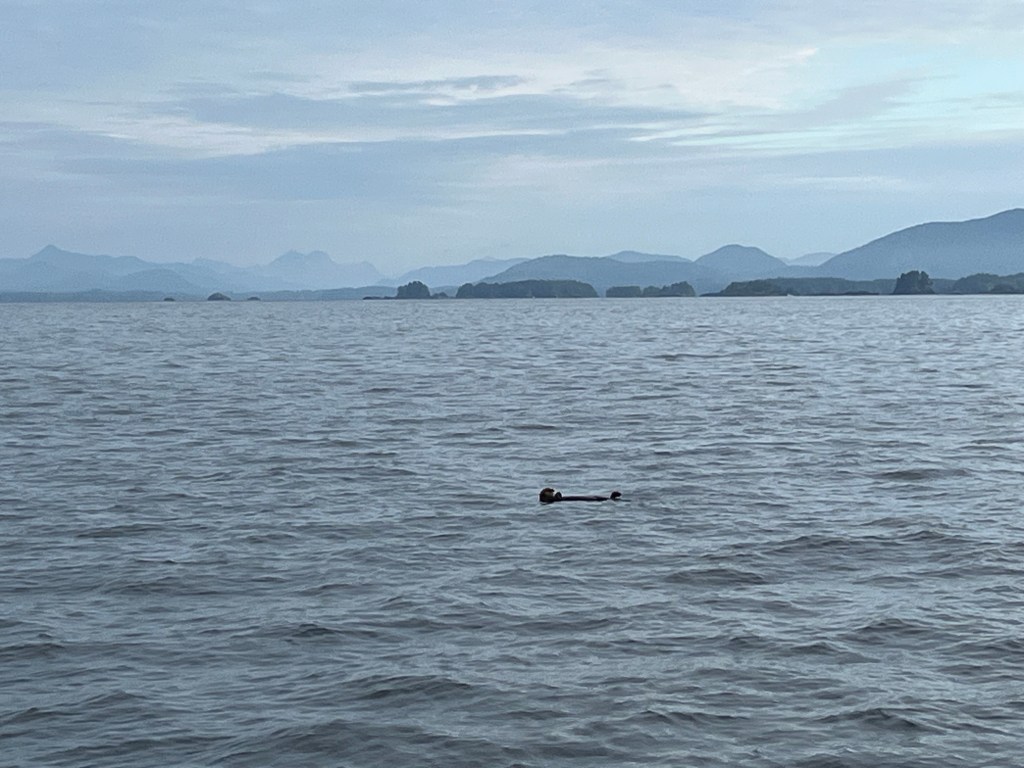
A Sea Otter bid us fair weather and following seas. This was to be the case … for the first fifteen hours…! Later Monday, Jane took the 2100 watch (we started 3 hours on, 3 off at 1800) as we watched a couple of Humpbacks leap into the air seven times interspersed with fluke-flaps perhaps a quarter mile off the starboard bow. The impressive concussions of body- and fluke-impacts with the water, time-delayed with the distance, surprised us. We’d not heard that when we watched whale leaps on 18 July.
At the point we reached the entry point for Craig we were pretty tired from a rough, noisy night of motor-sailing. But the call to press on, backstopped by “reasonable” weather forecasts ahead through Dixon Entrance, exceeded the longing for a break. The Environment Canada predictions for Dixon Entrance and Hecate Strait were less onerous than those from Juneau for Dixon Entrance to Cape Decision and South Chatham Strait and were consistent with our observations at the moment. So we pressed on.
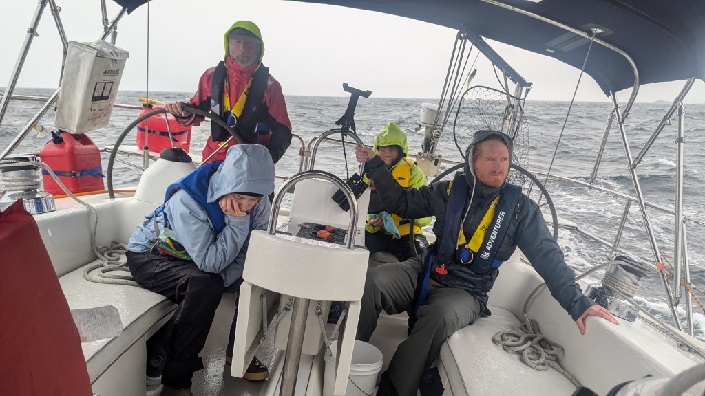
Sailing at night is not for the faint of heart. On a cloudless, rough, dark, and at times wet night, the helmsman has a single reference point to steer by – the compass – which is not in the least steady, but, by all accounts, it is steadier than ones GPS heading. It is hard for either of us to describe the exhausting challenge of standing or sitting, even for three hours, while steering a bucking “small boat” like Encore, through waves some of which were amply large enough to “swallow” the hull from view, with just a dim and wandering compass by which to steer.

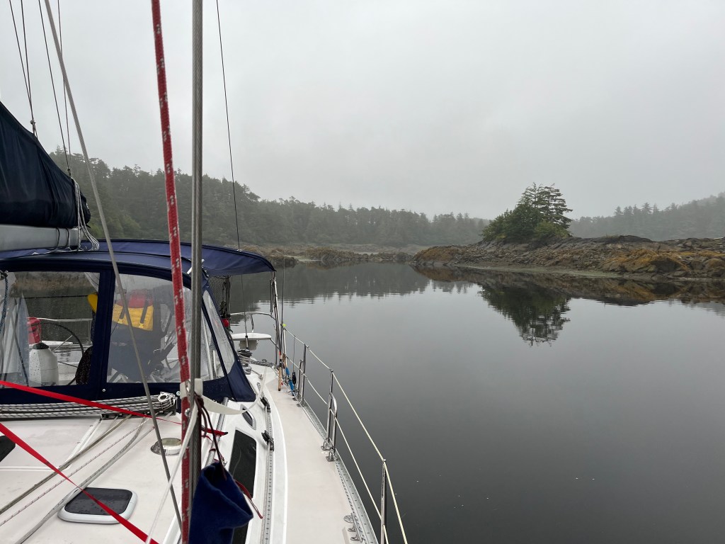
Note that the horizon is defined by the wave next to the boat.
There are certain things about passage sailing that entice …
We made it and are proud to have completed a 53 hour, 300nm passage. Customs check-in, final docking, and a beer at The Breakers Pub preceded ten hours of dead sleep. We had made it!

Incredible trip with remarkable sights, sounds, wildlife and experiences that you will cherish for ever. And it looks like Jane can work her culinary magic even on a sailboat!
I cannot wait to get a deeper download when you get home,
All the best and be safe.
Alan and Kathy
>
LikeLike
Thank you Alan and Kathy! The sun is out and the winds are beautiful northwesterlies the next several days. Should provide some awesome sailing! Looking forward to getting together upon our return. AND ROWING!!
LikeLike
We are anxious to get you back.
Sent from my iPhoneAlan Krause11024 Arrow Point Drive NEBainbridge Island, WA 98110
<
div dir=”ltr”>
<
blockquote type=”cite”>
LikeLike
Wow! What drama. I’m glad you’re all safe and (still) spirited.
LikeLike
Thank you Judy. More unwanted drama follows early in today’s crossing of the infamous Hecate Strait, but we’re still alive and made it to the Queen Charlottes. Where there is little wind and some of the warmest temps we’ve had!
Marc
LikeLike